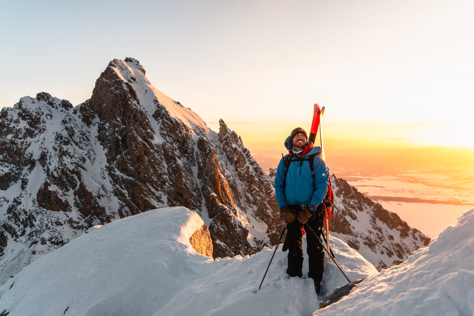
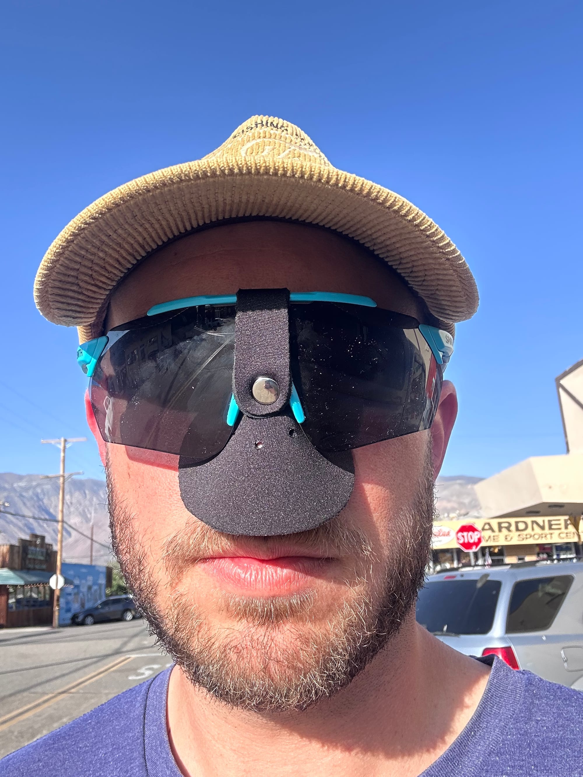
Mt. Whitney: Solo Skiing Mountaineer's Route
Thursday, May 23, 2024:
- A case of impulse shopping Tuesday night, buying a Whitney day-access permit for Thursday; Sierra-bound Wednesday afternoon.
- Solo skied Mountaineer's Route, consistent snow starting at 12k' in the gully below Upper Boy Scout Lake – late in the season following a hot spell.
- 14 hours roundtrip, spending ~2 hours with a couple hikers stranded in the couloir (at 13.8k'): 1 with an entry wound from (?) rockfall, so I checked for bleeding and re-dressed while they waited on SAR.
- Otherwise a straightforward ~7k' vertical / 13 miles from Whitney Portal, but with (way) less skiing than I'd hoped.
- Likely a 10-hour day without pauses and in better conditions.
Note: I may get commissions for purchases from links in this post.
Background
I left Jackson Hole for a shoulder season / summer in LA in mid-April. (Check out Ford Stettner #2, Skillet and Trifecta for Teton skiing in 2024.) Within a few weeks, I missed the mountains and worried about sea level stealing my acclimation – falling behind the Teton crew, still racking up vert.
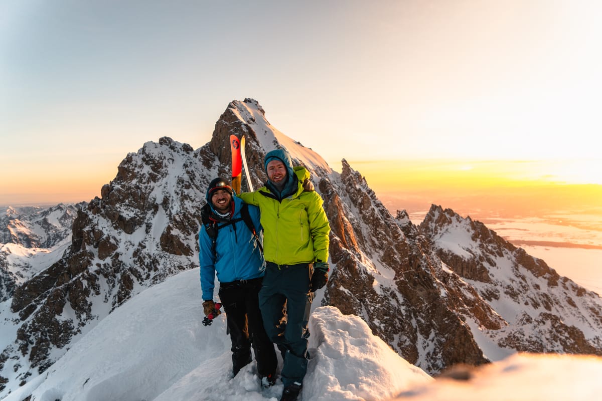
Ford Stettner, Skillet and Trifecta in winter 2024 | P.C. @connorburkesmith
My fitness wish list was already packed, but I added one high-altitude mission per month. On a call with Connor, I wondered aloud if Whitney permits were available. Apparently before the route melts out in ~July, it's easy to snag last-minute weekday permits. It was Tuesday night, so the earliest I could do was Thursday. A visit to Rec.gov and quick gut check. I committed to a solo ski.
If comfortable with ski mountaineering, Mountaineer's Route is non-technical. No ropes, harness, tools or (usually) stiffer ice crampons. To mitigate solo risk, ton of traffic, only ~six miles from the trailhead at the summit (when Portal's open late season) and decent cell service / SAR coverage from Inyo County. As always, I'd be prepped to spend the night.
The weather forecast was clear: no precipitation and minimal wind. Warm, but manageable wet slide risk. My one concern was the long hike in / out if the snow line was low (later validated). After the Williamson fiasco last season, I'm hesitant to sign up for long, Eastern Sierra approaches. Compared to Williamson, assuming the Portal's open, Whitney has an established trail starting at 7k'. Williamson involves a 6k' and miles of bushwhacking.
I collected more beta on the route, triple gut-checked my motivation and stocked up for the four-hour drive drive into the desert. Quick stop at my storage unit to grab skis (purportedly stashed for the season) and gear (see list below), Costco for gas and Staples to print the day permit. Then, north on I-405.
Gear
- Pack: Mammut Pro 45L (skipped the airbag and avy gear for the corn)
- Ski: Blizzard Zero G's 105mm and MTN Pure bindings, Black Diamond skins, adjustable ski poles, Zero G Peak Carbon boots and Ascender Mips helmet
- Pointy stuff: CAMP Corsa axe, Petzl Leopard boot crampons and 110mm ski crampons (so little skinning I could've skipped)
- Hike: TX4 approach shoes and Yaktrax
- Layers: Under Armour top, fleece hoody, puffer (in case of a solo injury), shell pants / top, ball cap, buff, runner's beanie, running gloves, Kinco's mittens and 3x wool socks (2x hike for ascent / descent and 1x light ski)
- Emergency / extra gear: (NEW) nose sun shield, sunscreen and UPV lip balm, fire-starter, lighter, SOL Escape Lite, extra space blankets, Leatherman multi-tool, headlamp, first-aid kit w/ extra moleskins + sterile pads (overdue on a rebuild), tourniquet, ski straps, Gorilla tape to-go and handwarmers
- Calories / hydration: 2L water (wished I brought a filter), fig bars, 6" of a Subway Italian, peanut butter packets, GU gels and electrolytes
- Repair kit: more ski straps, zip ties, bailing wire, ski pole baskets, skin tail clips and hose clamps
Mountaineer's Route
Spooky Beta, but a Cozy Night
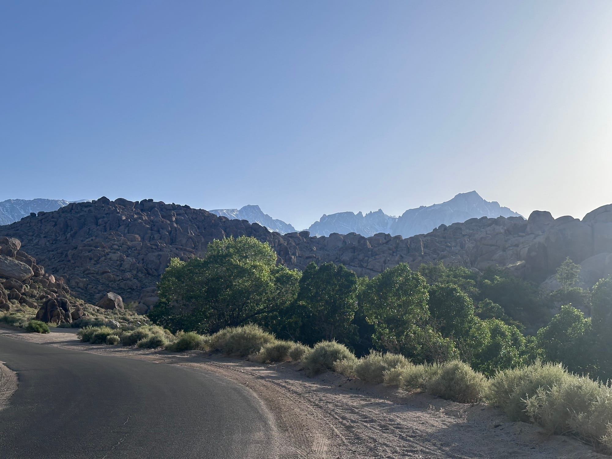
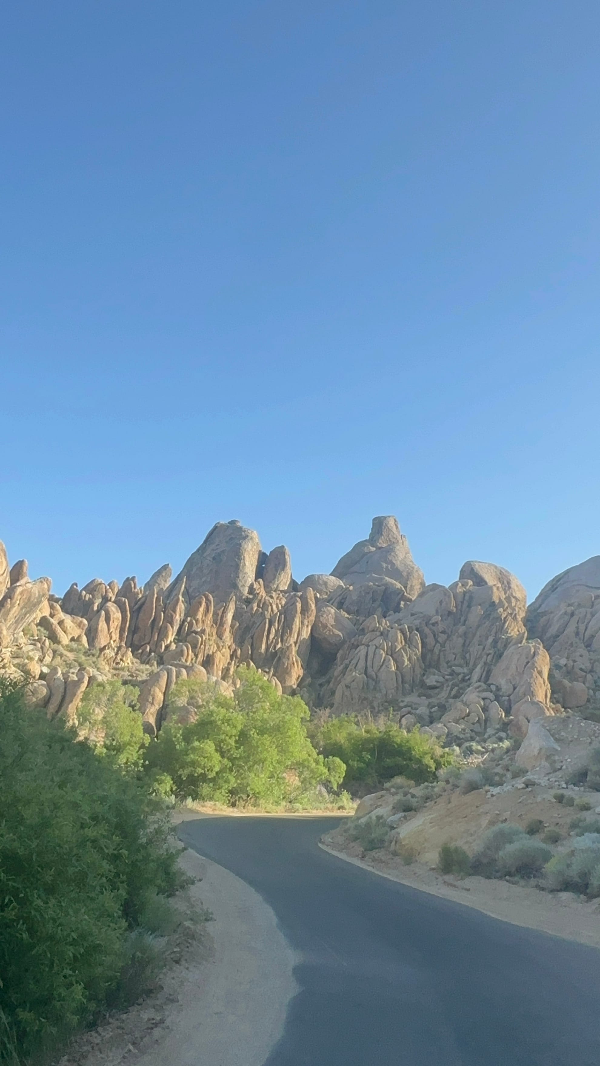
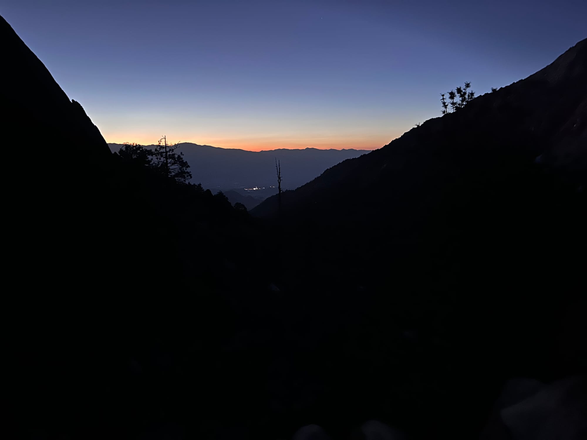
Aside from light congestion in San Fernando Valley, it was smooth sailing to the Sierras. Rolling hills from Santa Clarita to Lancaster, then flat expanses of sand and tumbleweed. The Sierras grew on the horizon as I passed solar farms and the Mojave air fields, dozens of passenger jets in waiting.
At 6pm, I reached Lone Pine, gateway to Whitney and the first well-equipped town from the south. Bishop holds the honor from the north. First stop: a gear store for local beta (Elevation Sierra Adventure). I found the nose sun shield long evading me and John walked me through snow levels and hazards.
(1) It'd been very warm over the last week, but recent parties found consistent snow at Upper Boy Scout (11.4k'), meaning 4k' vertical of hiking.
(2) After the notch (top of the final couloir), the first gully to the summit was likely too melted to ski. The next few gullies might be better, but most parties ditched skis in the notch. Ideal descent at 11am-12pm as planned, soft enough from morning sun, but not too warm.
(3) Tragically, a pair of split-boarders disappeared on their final summit traverse a couple weeks earlier. John suspected ice caught them off guard, so tread carefully above the notch. A separate group of Jackson-based snowboarders said riding the traverse was one of their sketchier descent, due to exposure and ice.
Note: Only later did I learn another hiker succumbed to rockfall on the Ebersbacher Ledges in Lone Pine Canyon only a week earlier.
Based on the beta, I braced myself for a long hike, planned to stash skis in the notch (vs. skiing closer to the summit) and aimed for final ascent up a gully between the first gully and far traverse. Also, reaffirmed my planned 4:30-5am departure should hit an ideal 11am-noon descent.
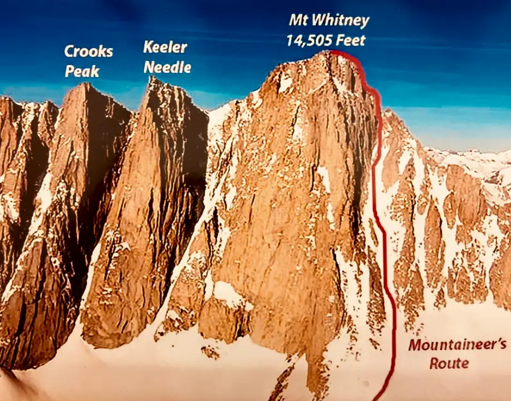
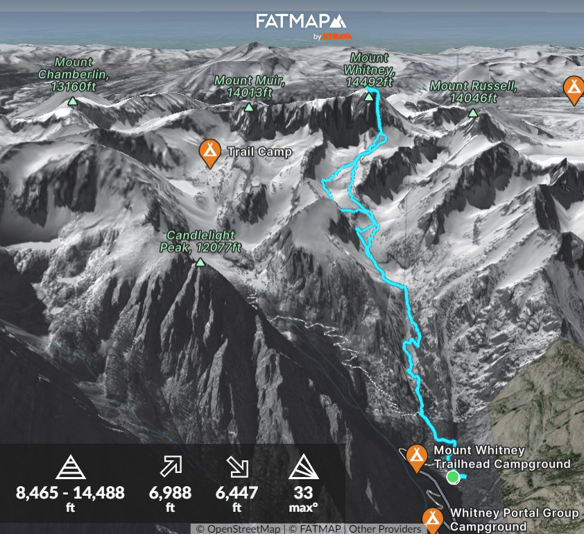
Mark-up credits to SummitPost (couloir from the east) and Timberline (notch / traverse above the couloir from the northwest); plus my FatMap route
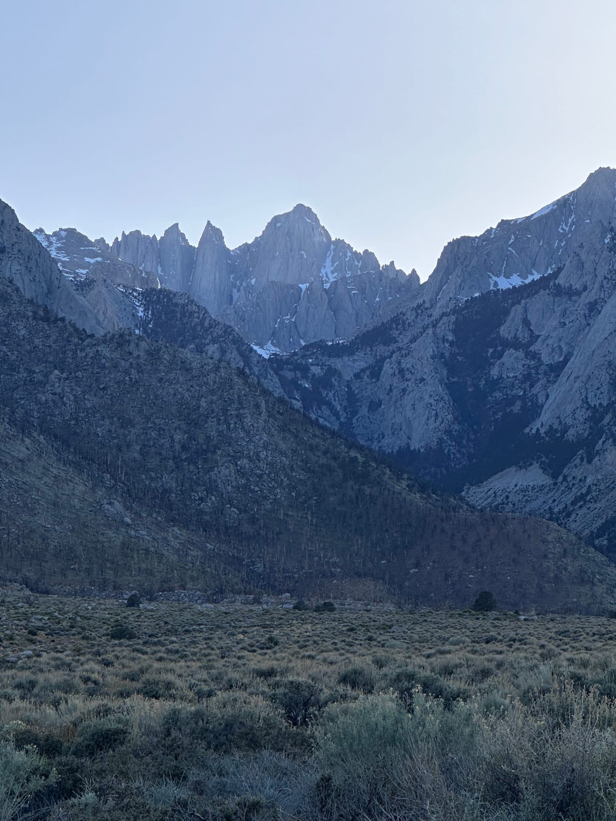
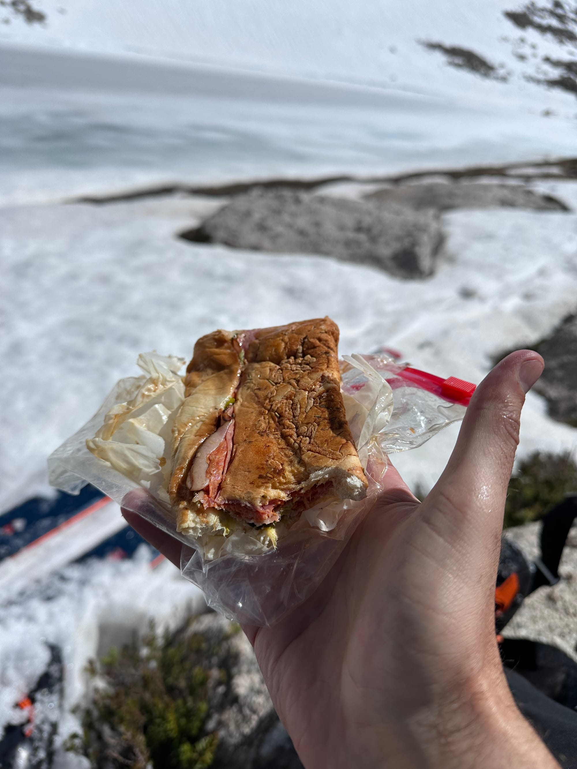
After the Elevation Sierra, I grabbed a 12" Italian from Subway, snacks / drinks at Mobil and winded west through backroads to the Portal. I pulled off for a sunset dinner (6" of the Italian, packing the rest) near Lone Pine Campground, watching the sun disappear behind Whitney.
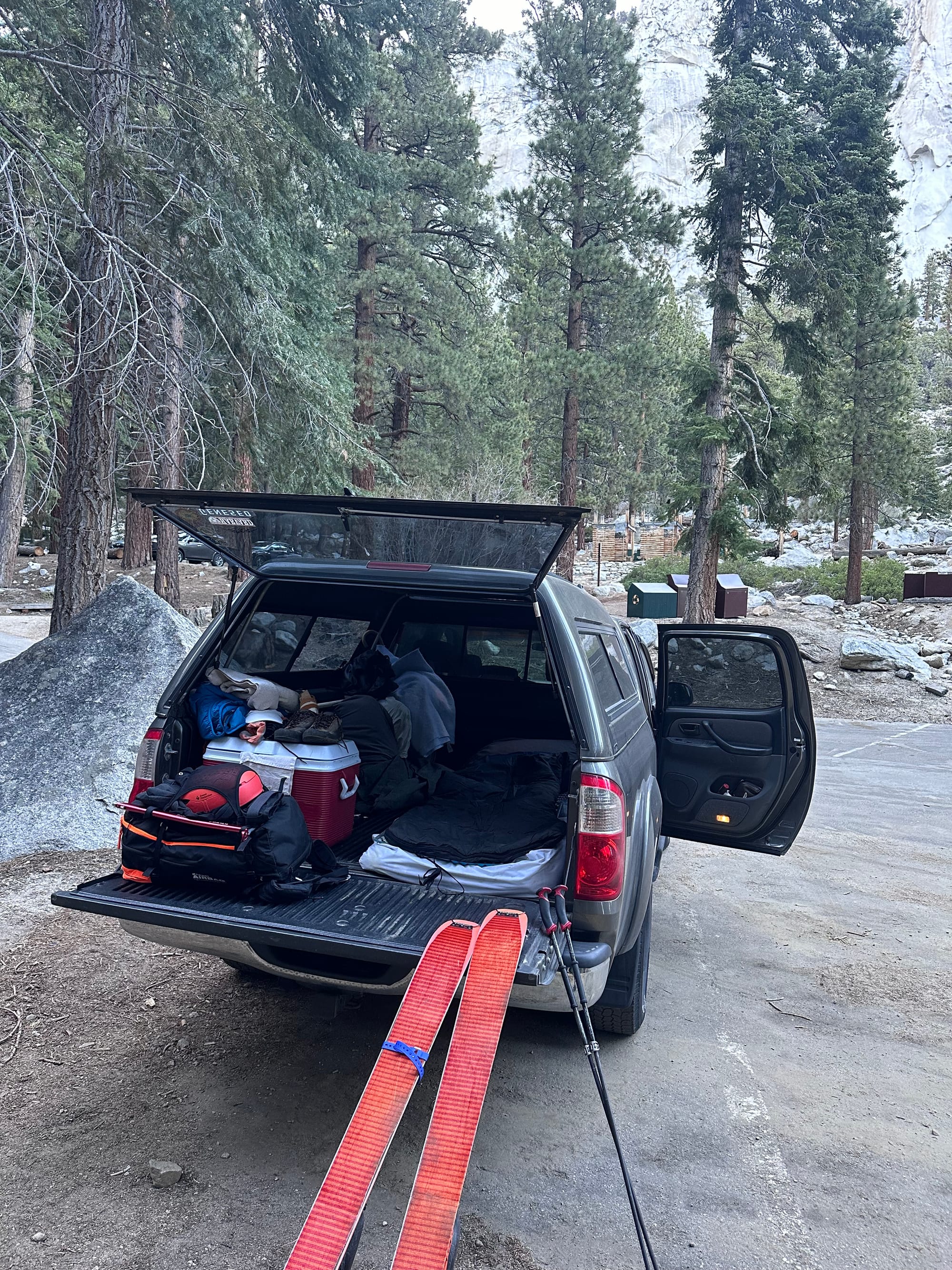
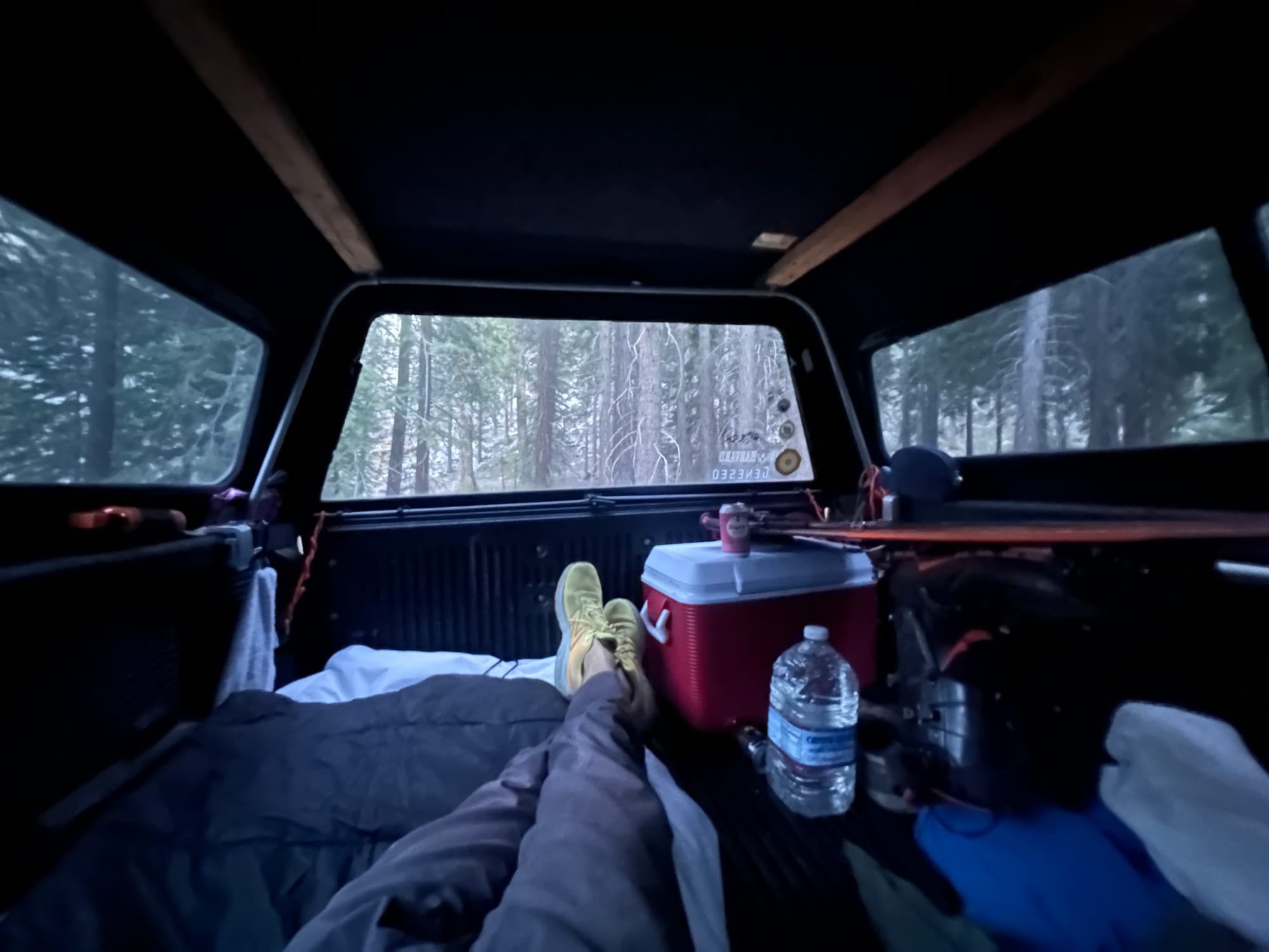
By 7:30pm, I reached the Portal, winding up desert switchbacks into pine forests guarding Lone Pine Creek. I found a quiet spot in the parking lot to camp in my truck and organized gear. An hour of reading, the creek gurgling below, then I passed out at 9pm, alarm set for 4am.
Lone Pine to Whitney Portal
Hiking, Hiking and More Hiking
My iPhone's "Summit" chimes shook me out of a deep sleep. In summer 2022, I spent a ~month living in my first-gen Tundra (2006), bouncing around WY, ID and MT. By August, it felt so comfortable I could sleep in. I keep the same mattress pad, sleeping bag, pillows and extra blankets stashed in my truck's 6-foot bed, ready for adventure at a moment's notice.
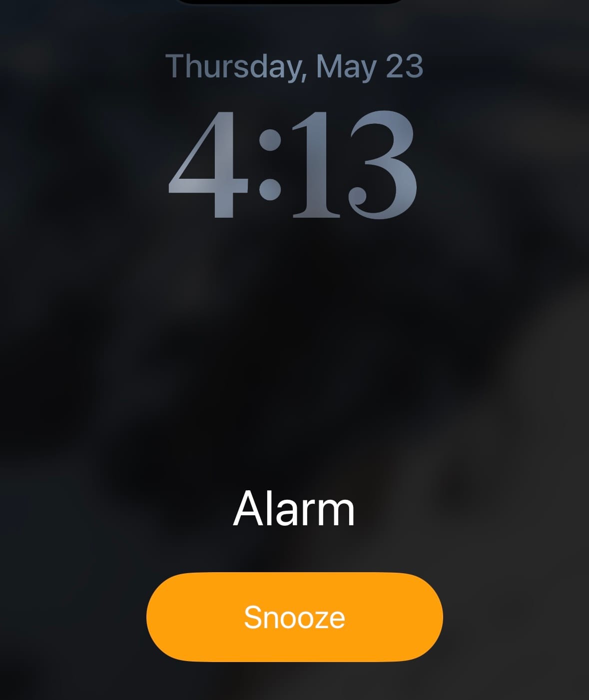
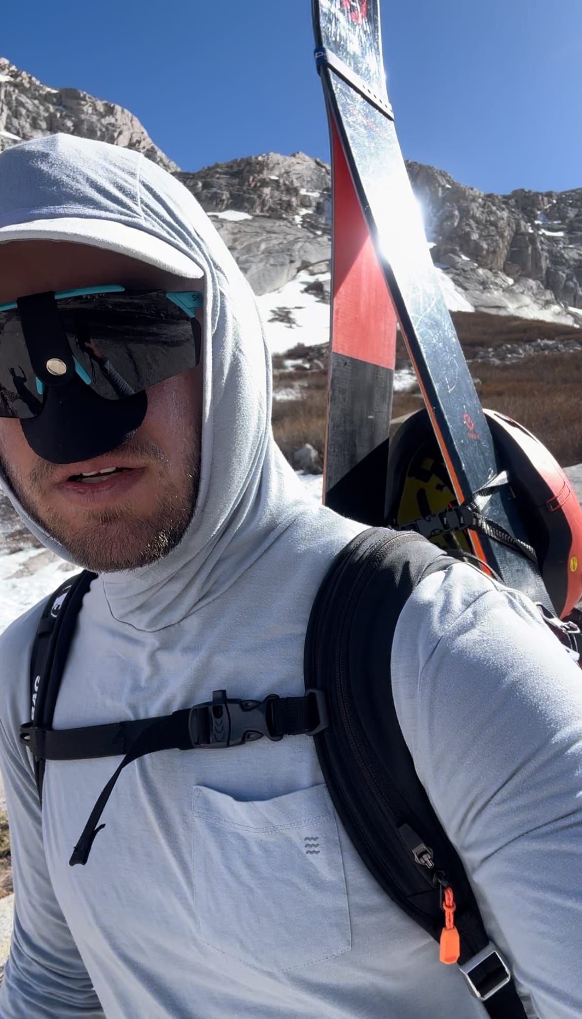
I snoozed a few times, reluctant to face the trail. At 4:30am, eyes squinting, I reached for a cold brew, cracked the can and took a sip. Headlamp on, I slid into running shorts, a base layer and a fleece. I'd start with wool hiking socks and approach shoes. I inhaled two apple cinnamon fig bars and a banana, hit the outhouse and shouldered my pack.
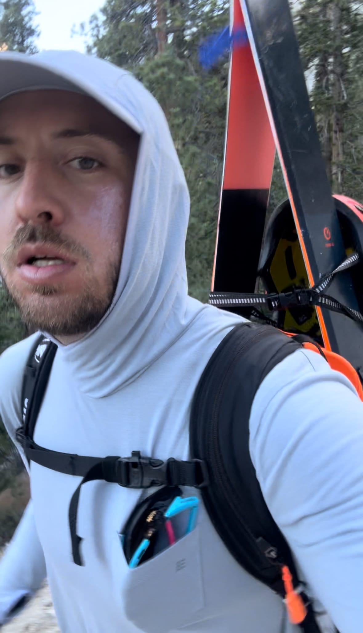
At 4:50am, my A-frame and I passed beneath the Portal's arches, featuring WAG bags and recent trail updates for hikers. First light crept over the desert valley and shrub-dotted mountains to the east. I ditched my fleece. High Sierra summits to the west stood in light gray contrast to moody cliff walls below.
At Helen's recommendation, I listened to This is How They Tell Me the World Ends, a reporter's scoop on cyberweapons and zero days.
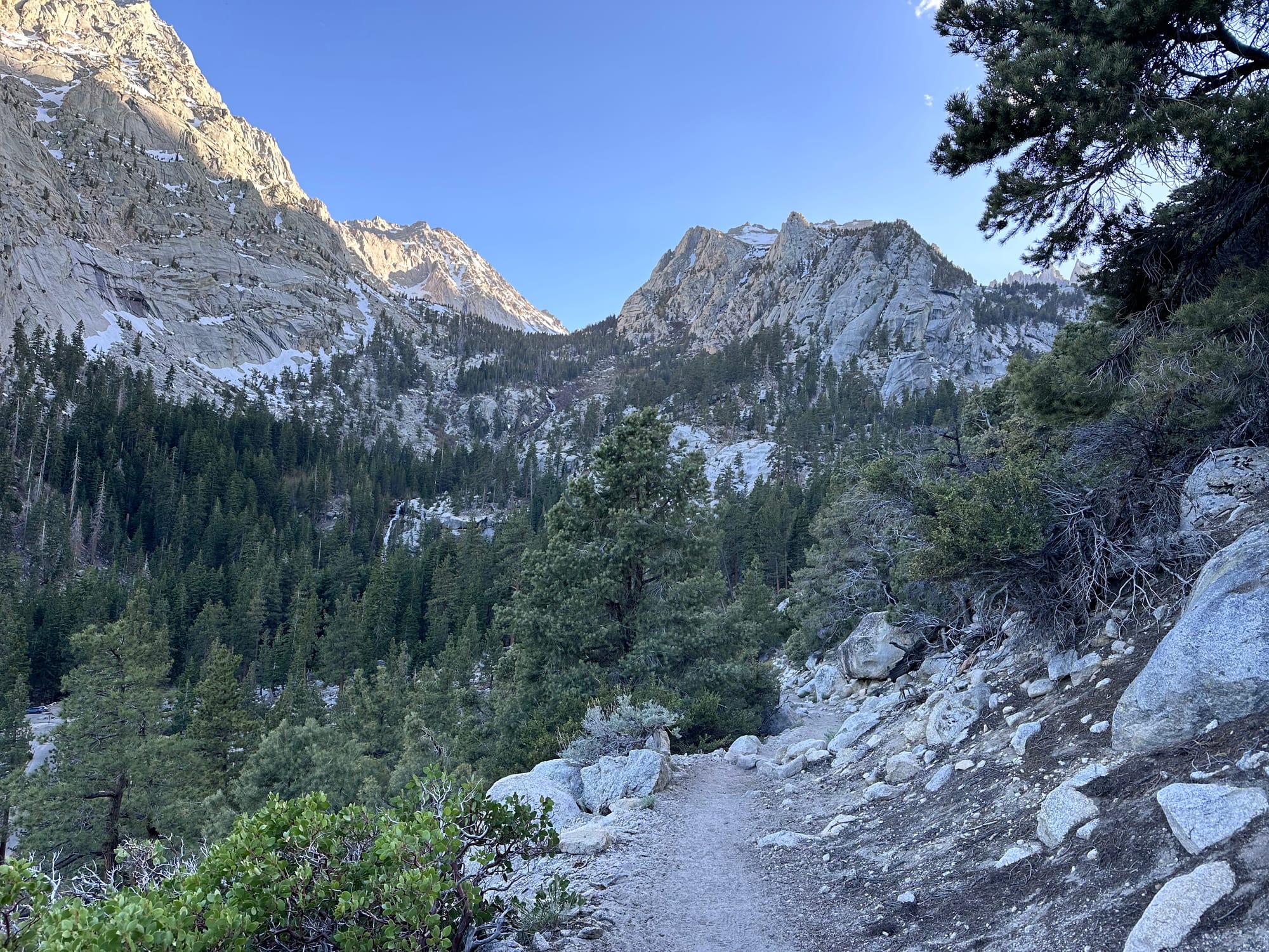
Portal to main hiker's trail
By 5am, I reached Lone Pine Creek Canyon junction, turning right off the main Whitney trail. I passed a two backpackers, starting the steeper ascent. Soft trail meandered through pines, followed by a few miles of denser brush, rocks, ledges and stream crossings (low enough for dry feet).
Cruised up on ascent, but I expected an annoying downhill with the A-frame. My ski tips caught on willows and tails bounced over ledges. Headlamp off at 5:20am. By 5:45am, sunlight reached the canyon, cliffs glowing orange.
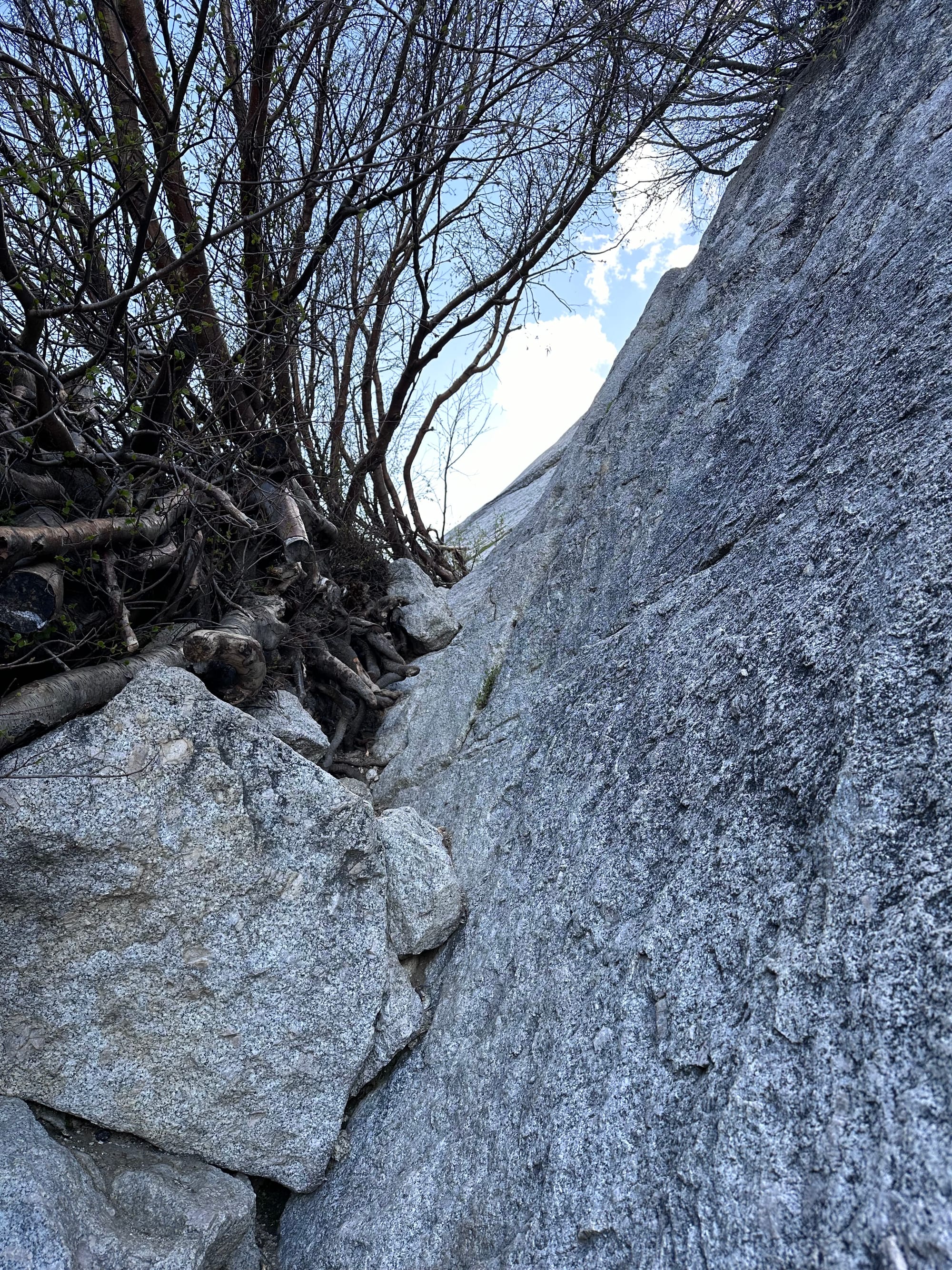
I found ice chunks on the south side of the canyon. Stream crossings cut back and forth. A tick attempted to hitch a ride. Route-finding on the Ebersbacher Ledges (E-ledges) was tricky. I almost lost my way a few times, even after Connor's warnings. (He attempted Whitney's East Face with double trouble a couple years ago.) Highly recommend following a good GPX.
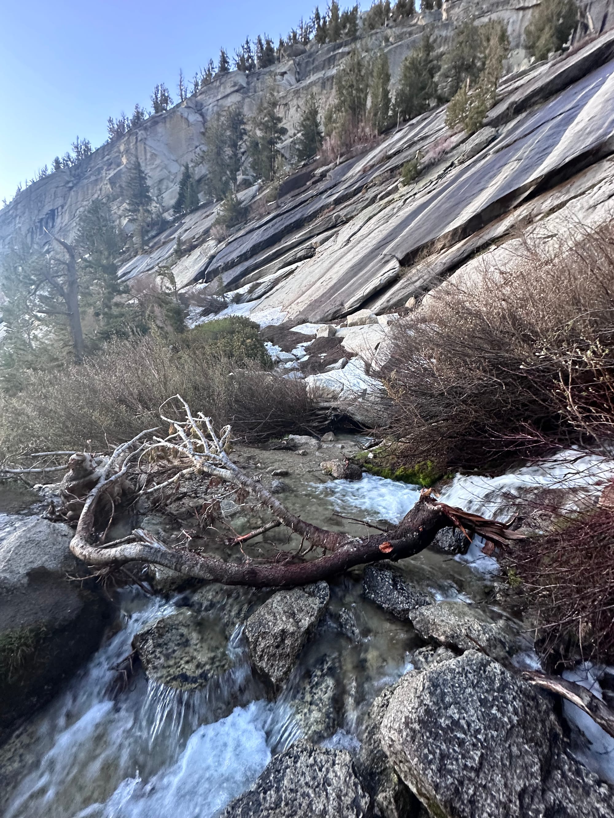
Lone Pine Creek Canyon
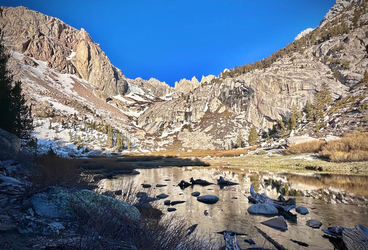
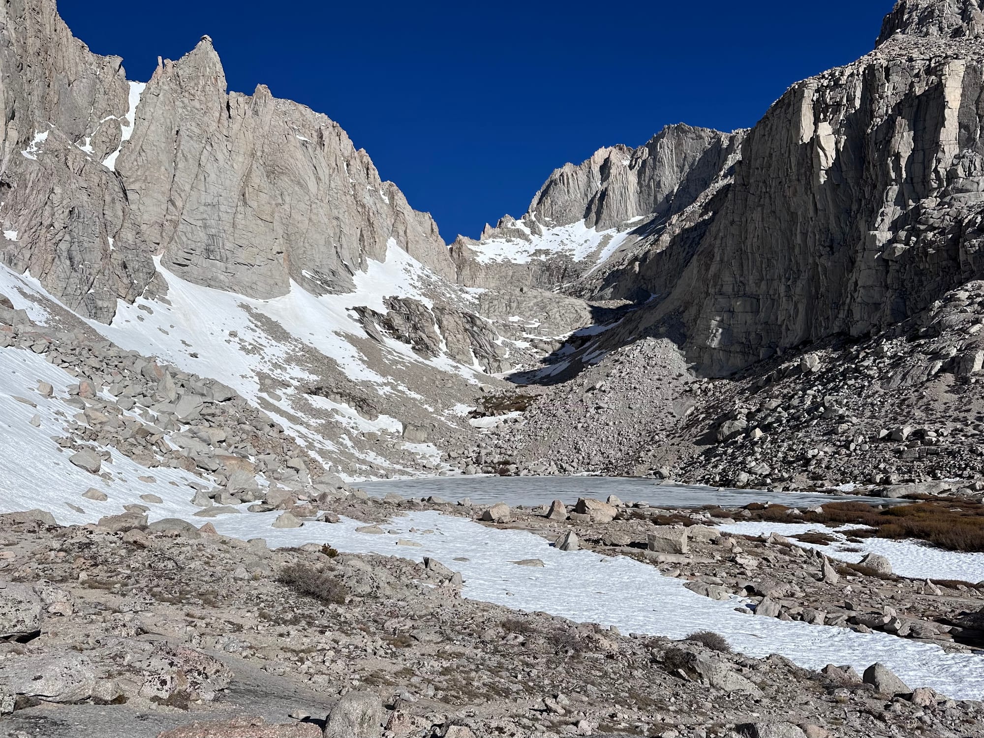
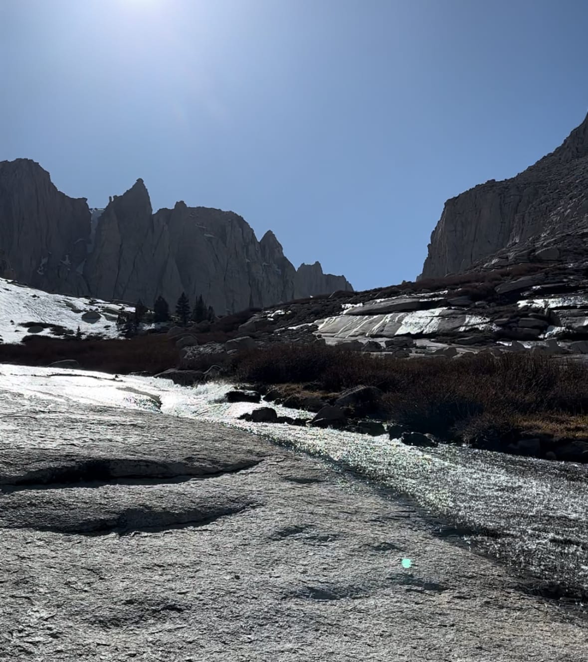
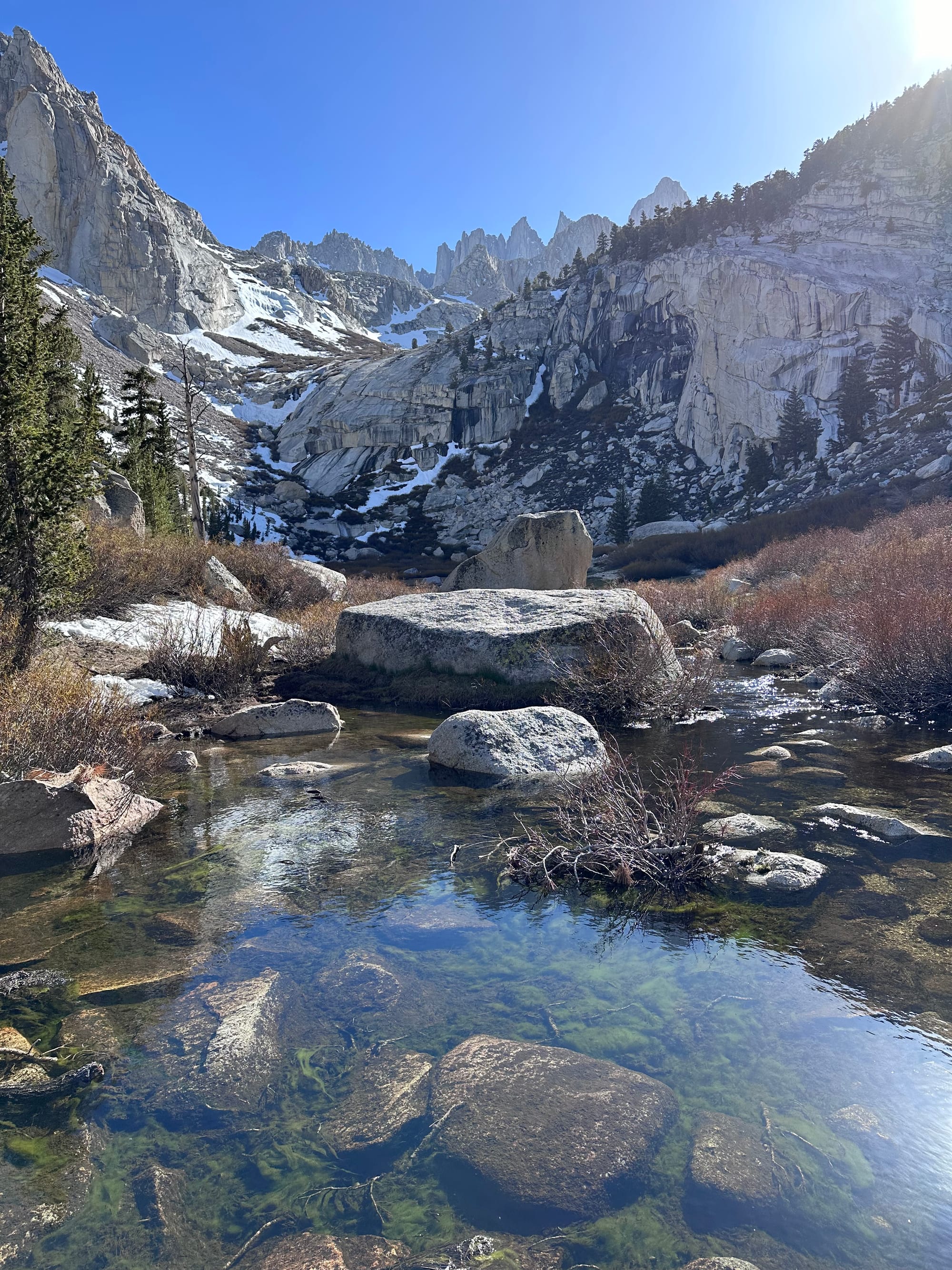
At 6:20am, I reached Lower Boy Scout Lake at 10.2k', on schedule. A think layer of ice on the surface thawed in the morning sun. The ledges and cliffs above now bright gray. I spotted snowpack on north-facing slopes to the southeast, not skin-able as expected. A pika stood lookout on a boulder near the lake.
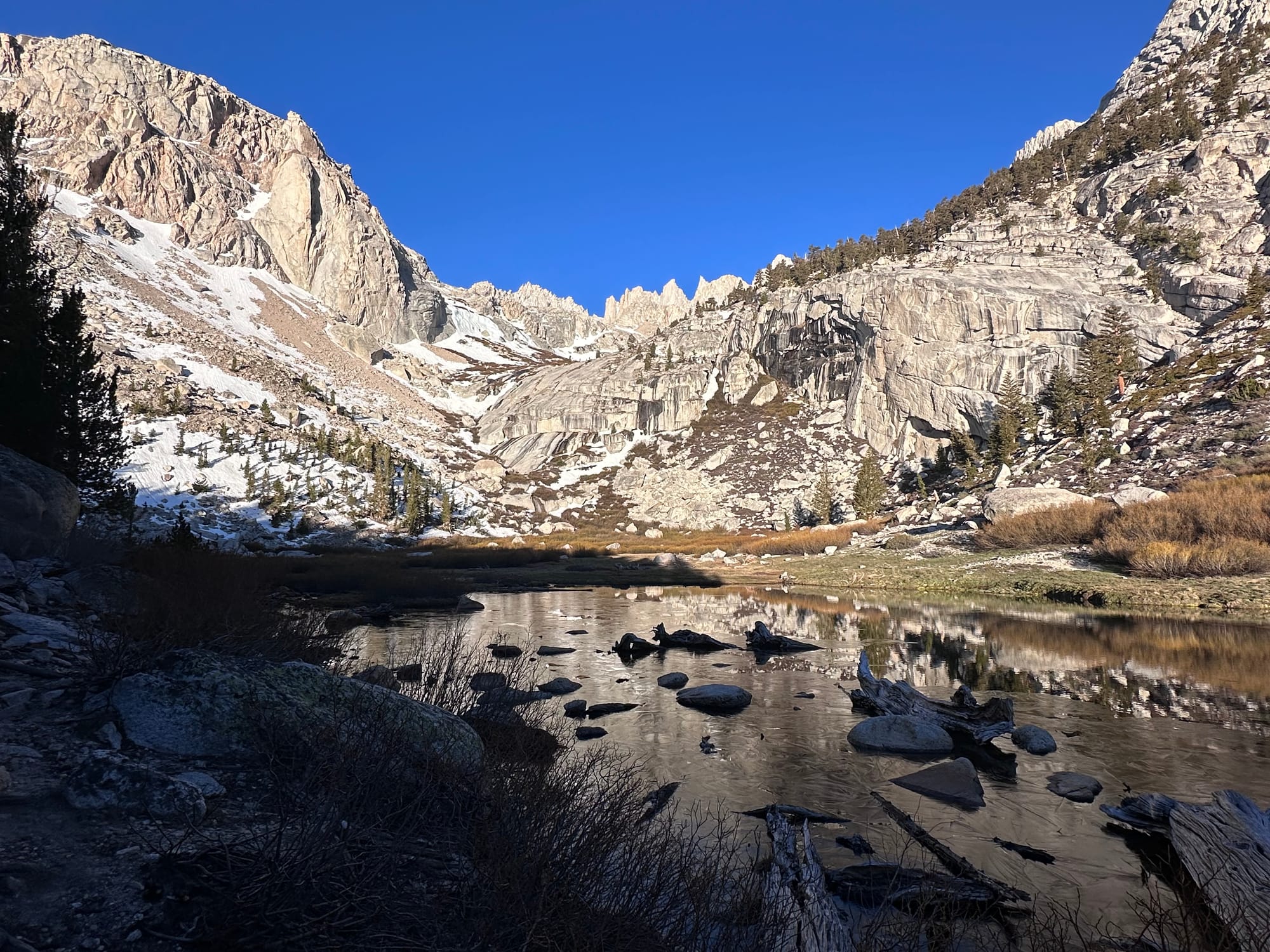
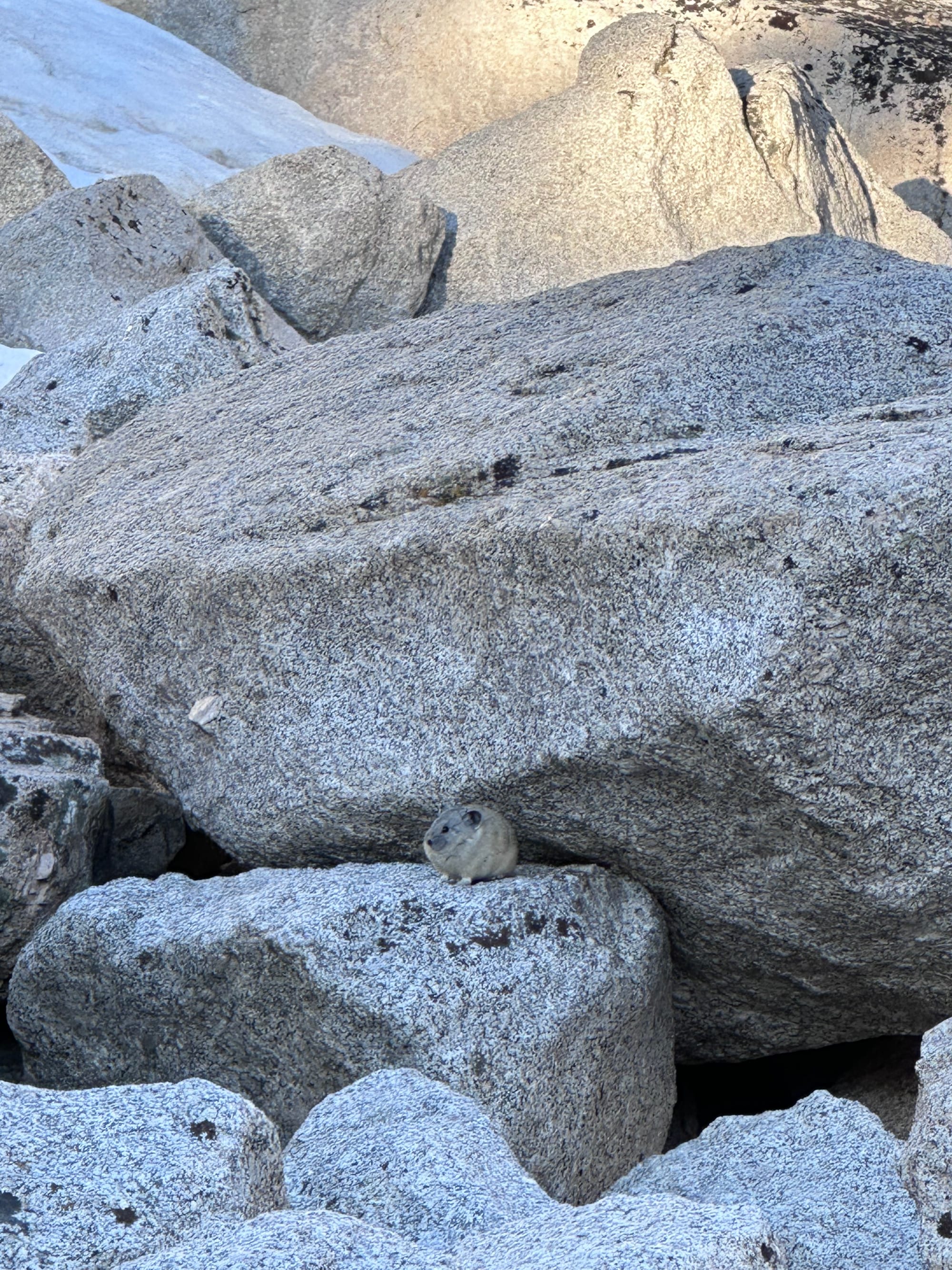
Lower Boy Scout Lake
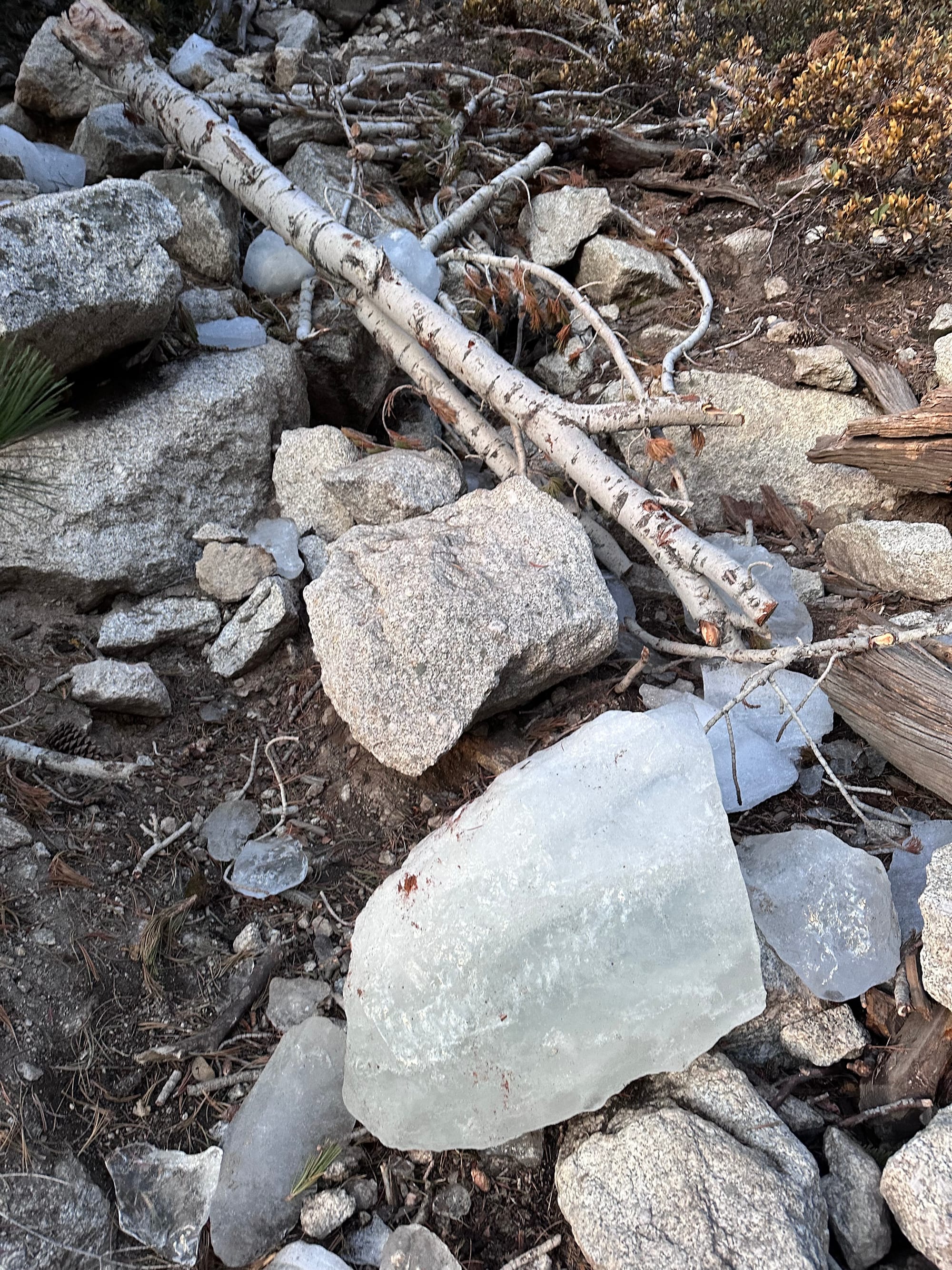
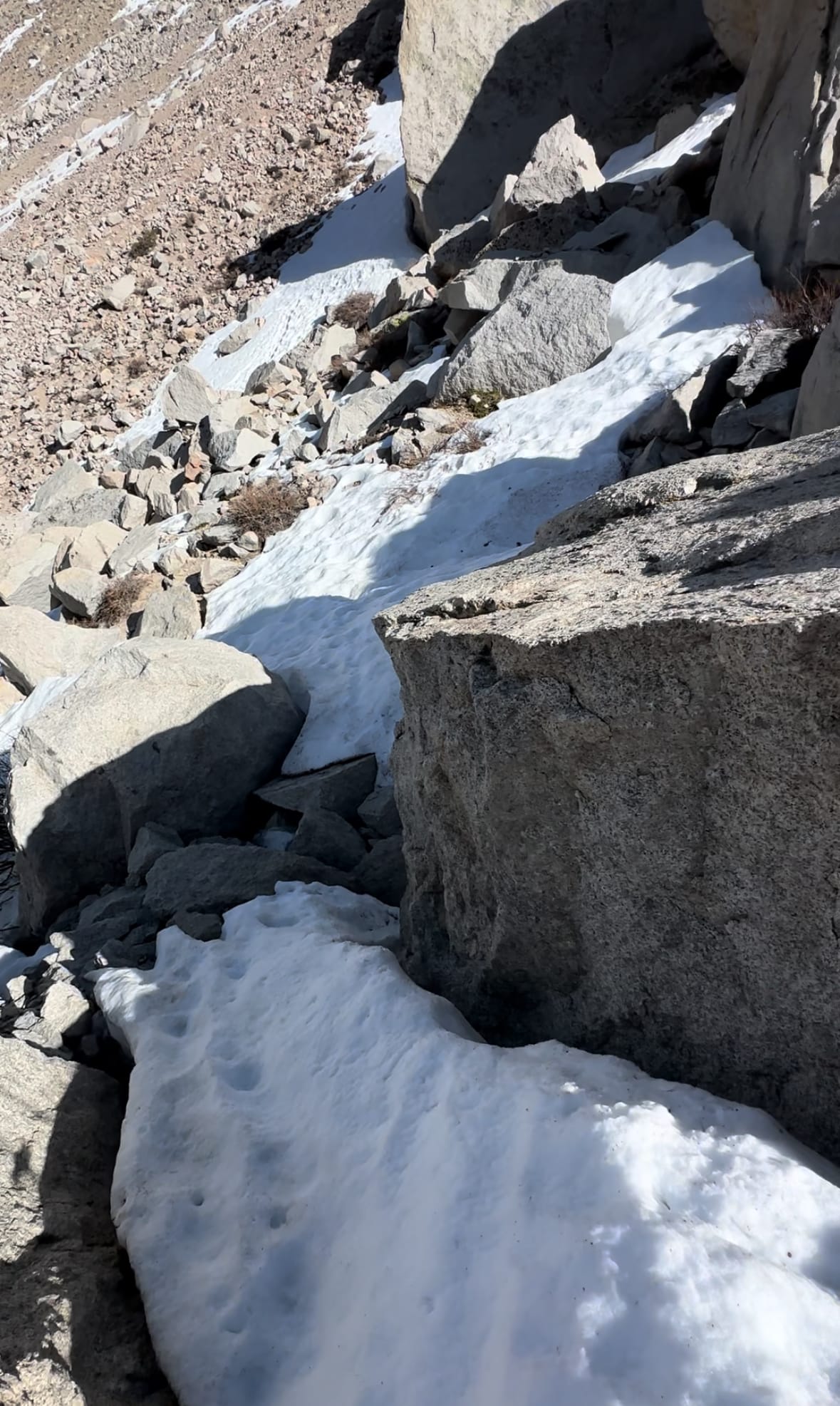
By 6:30am, I hiked refrozen snow, boulders and talus leading to Upper Boy Scout Lake, guarded by ledges still slick with snowmelt. Among my top-five "least favorites": hiking over refrozen snow without crampons – a slip is hard to arrest and snow cuts like sandpaper. I attempted slabs to my right, but the snowmelt froze into slick bands of ice.
Anticipating this awkward stage between hiking and skinning, I packed YakTraks. (MICROspikes would've been better.) Standing on a slab, I pulled the rubber fasteners over my approach shoes. Slippery on rock, catchy on snow. As I added Yaktrax, I set that foot down on snow to avoid slipping on the slab.
Yaktrax secure, I ascended, sticking to refrozen snow where possible. I veered to looker's left, hoping to find an all-snow route to Upper Boy Scout in the shade of the north-facing ledges. I realized I ascended too high and traversed.
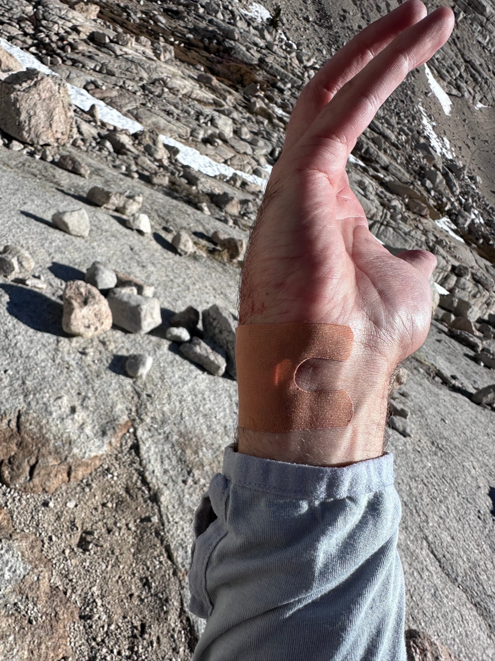
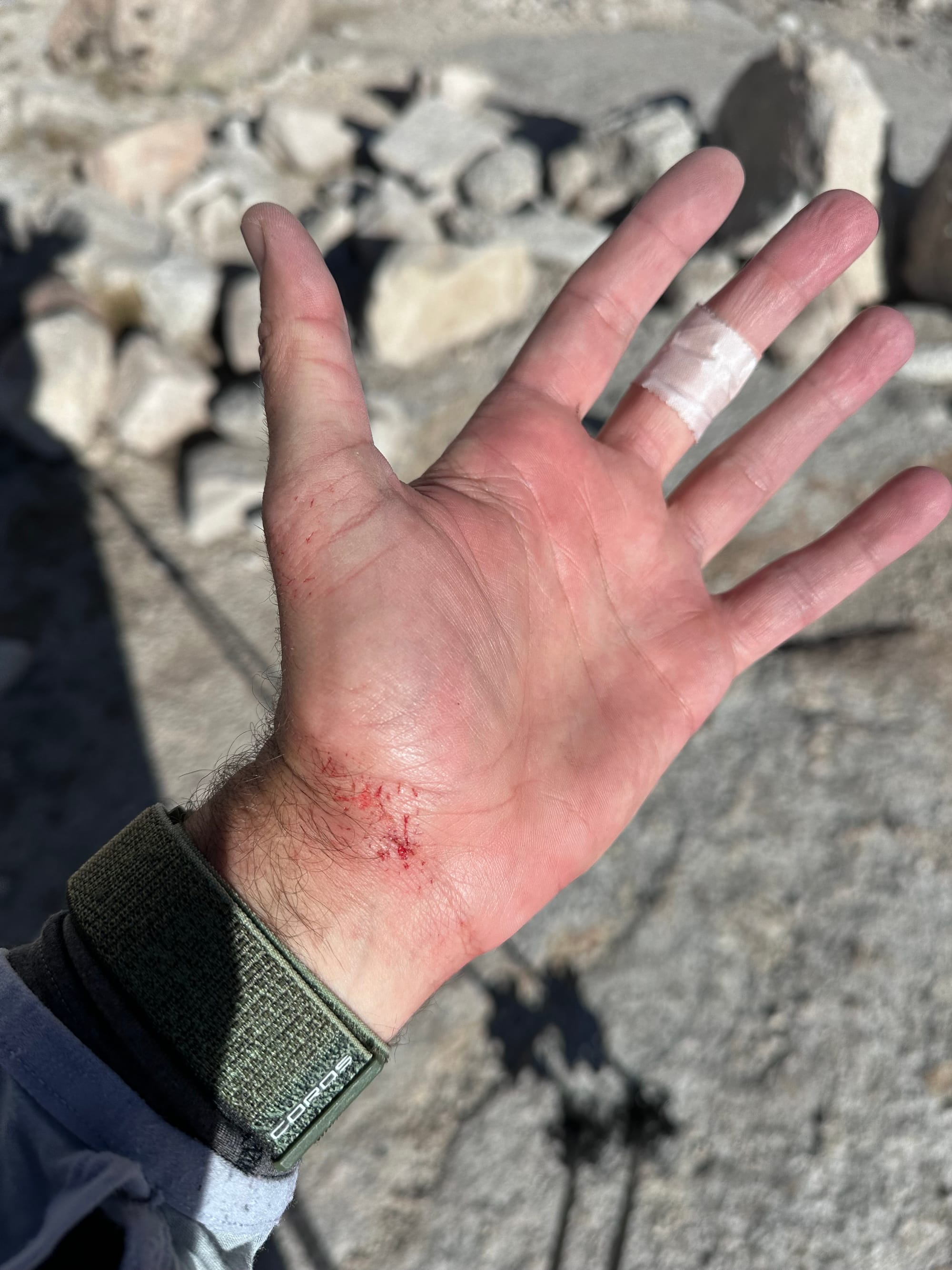
On a steeper section, the Yaktrax slipped sideways and I lost traction. I slid 30 feet, attempting to self-arrest with my ski pole bases, hands down to the baskets. The poles barely caught the refrozen snow. My pack and skis finally caught on a willow brush. Relieved to stop, but frustrated by the unforced error. A similar fall on Williamson the prior spring yielded painful scrapes covering my hands. I resolved to wear gloves on snow, but skipped that step on Whitney. It's worth buying even lighter driving gloves for warm spring approaches.
I cleaned the scrapes on my knees (still in running shorts) and wrists. 30 feet of refrozen snow removed the top layers of skin. Bandages on wrists, sterile pads taped to knees. I swapped a broken snap on my pack (from the skis catching) with a ski strap, and running shorts with ski pants. Yaktrax away. Last but not least, I added shades with my new nose shield and sunscreen / UPV lip balm.
By 7:30am, I hiked again, 30+ minutes lost to the sloppy mistake. Another group approached below, likely the pair I passed at the junction. At 7:45am, I reached Upper Boy Scout Lake, hoping to skin. Unfortunately, still more rock than snow on slabs / ledges to the south. The sterile pads and bandages hurt more than the helped, so I took them off and stashed them in my pocket, leaving only one bandage on my left middle finger.
Before / after Upper Boy Scout Lake
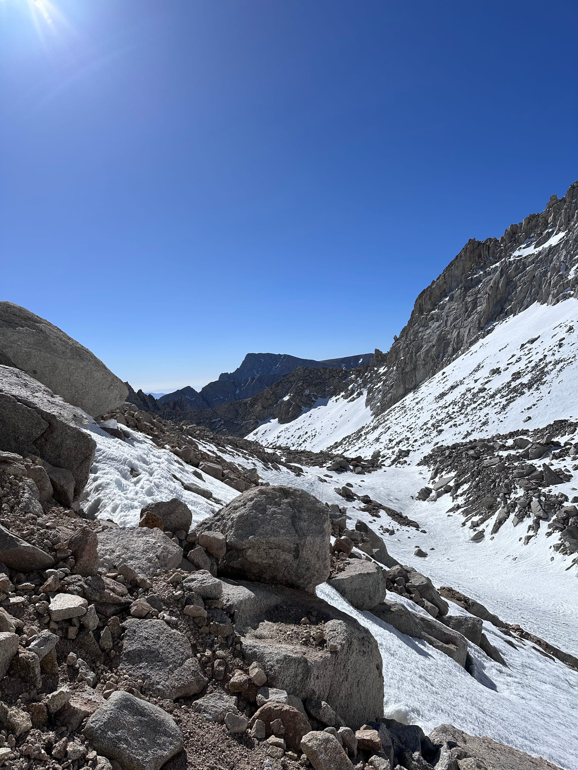
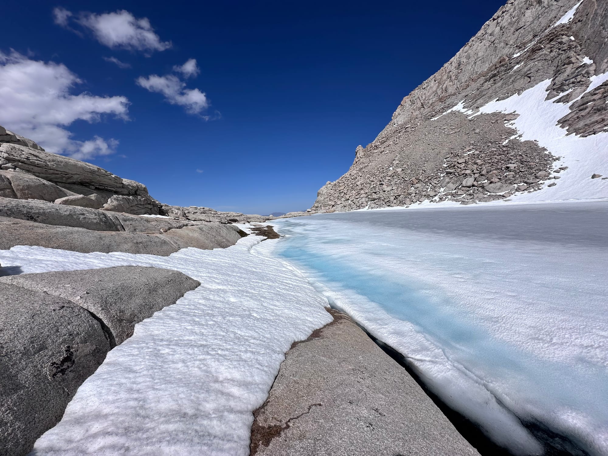
I followed the GPX south over boulders, talus and frozen footsteps in the snow. I hoped to find skinning conditions above the slabs, but no luck. In retrospect, a slight descent into a gully ~100 feet below would've allowed for an earlier transition. After my slip, I hesitated to improvise off-GPX.
At ~8:15am, a hiker approached. He said, "Two hikers are stranded in the couloir, sheltered overnight." One fell after a 5pm summit Wednesday, was banged up and uncomfortable descending. They contacted Inyo SAR (search and rescue). He spent a couple hours with them, left water / food and bailed on his summit attempt, too far behind schedule. He guessed, "Maybe a broken rib."
I continued the ascent, expecting to check in with the stranded party in a couple hours (if SAR didn't reach them by then).
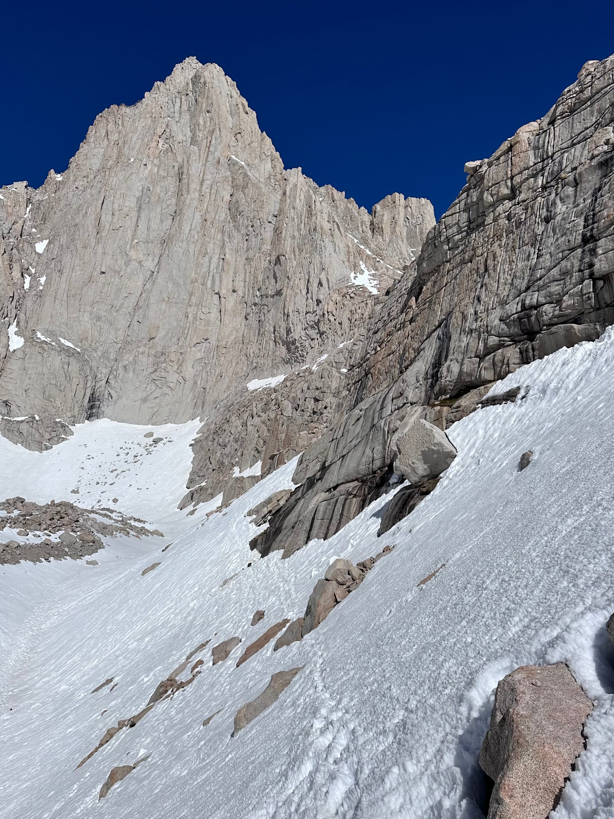
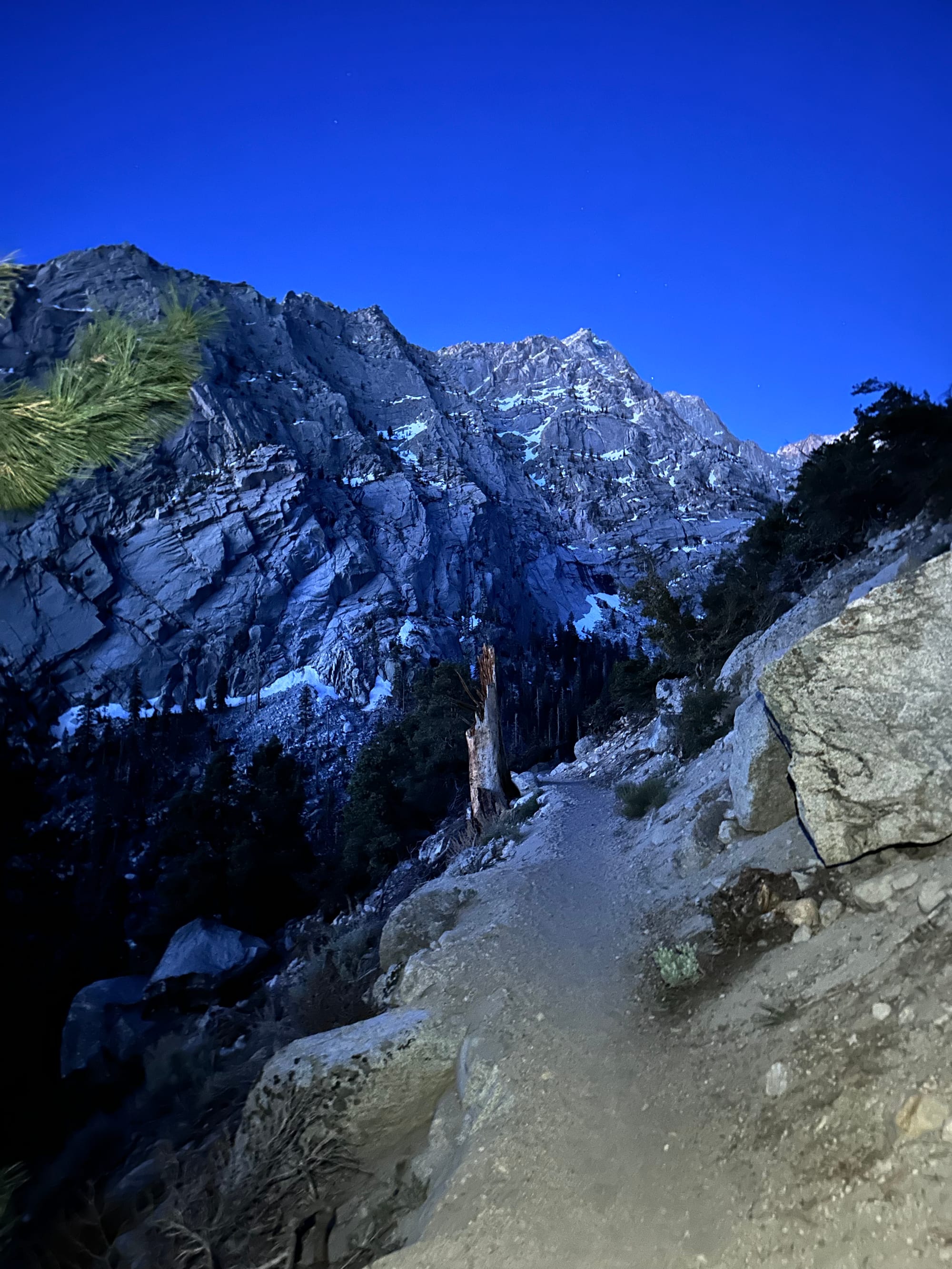
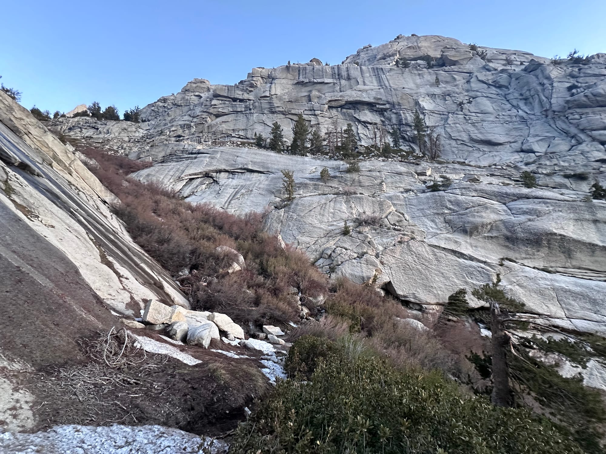
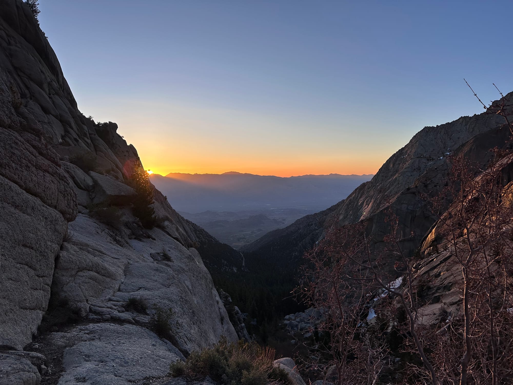
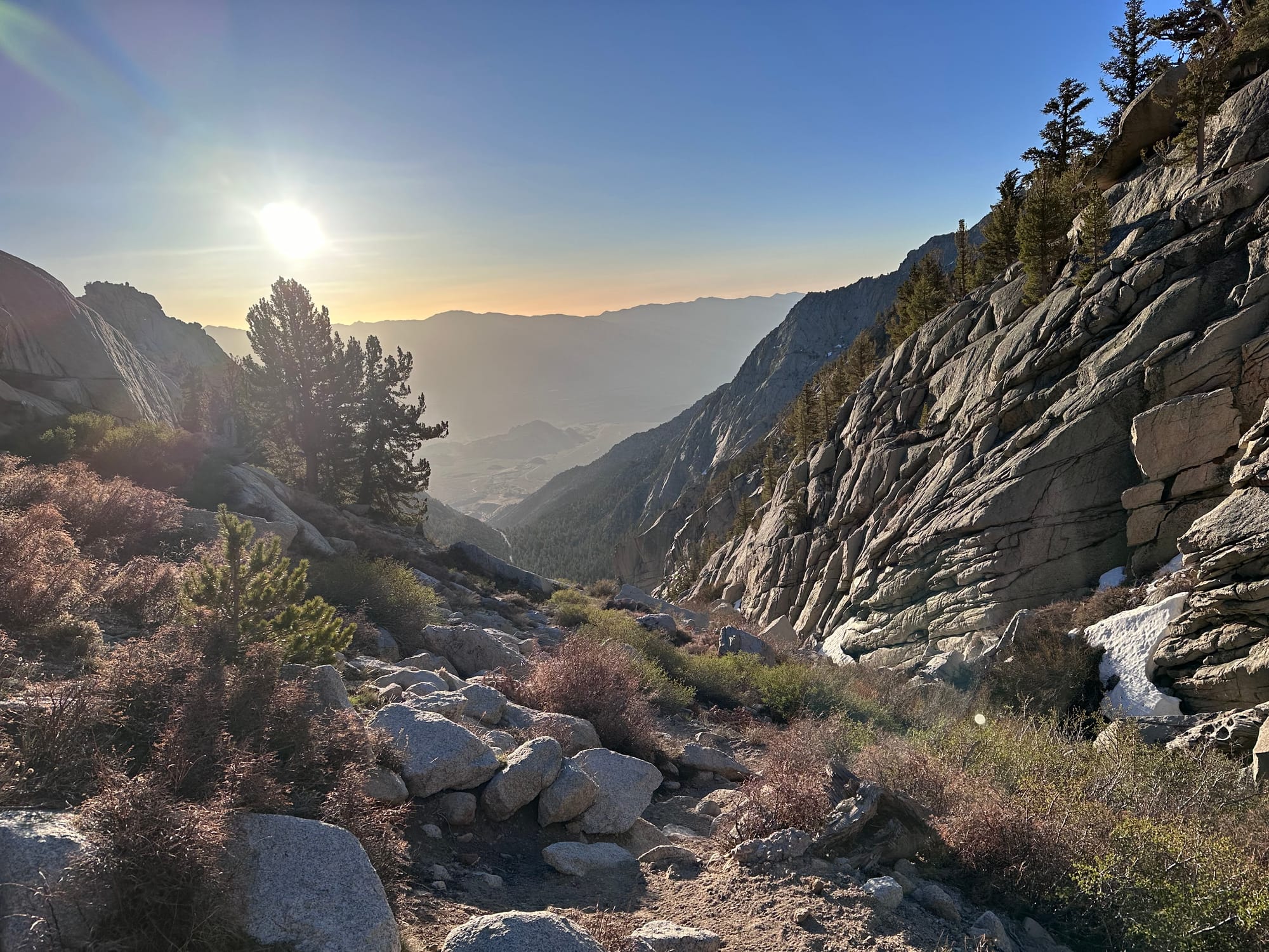
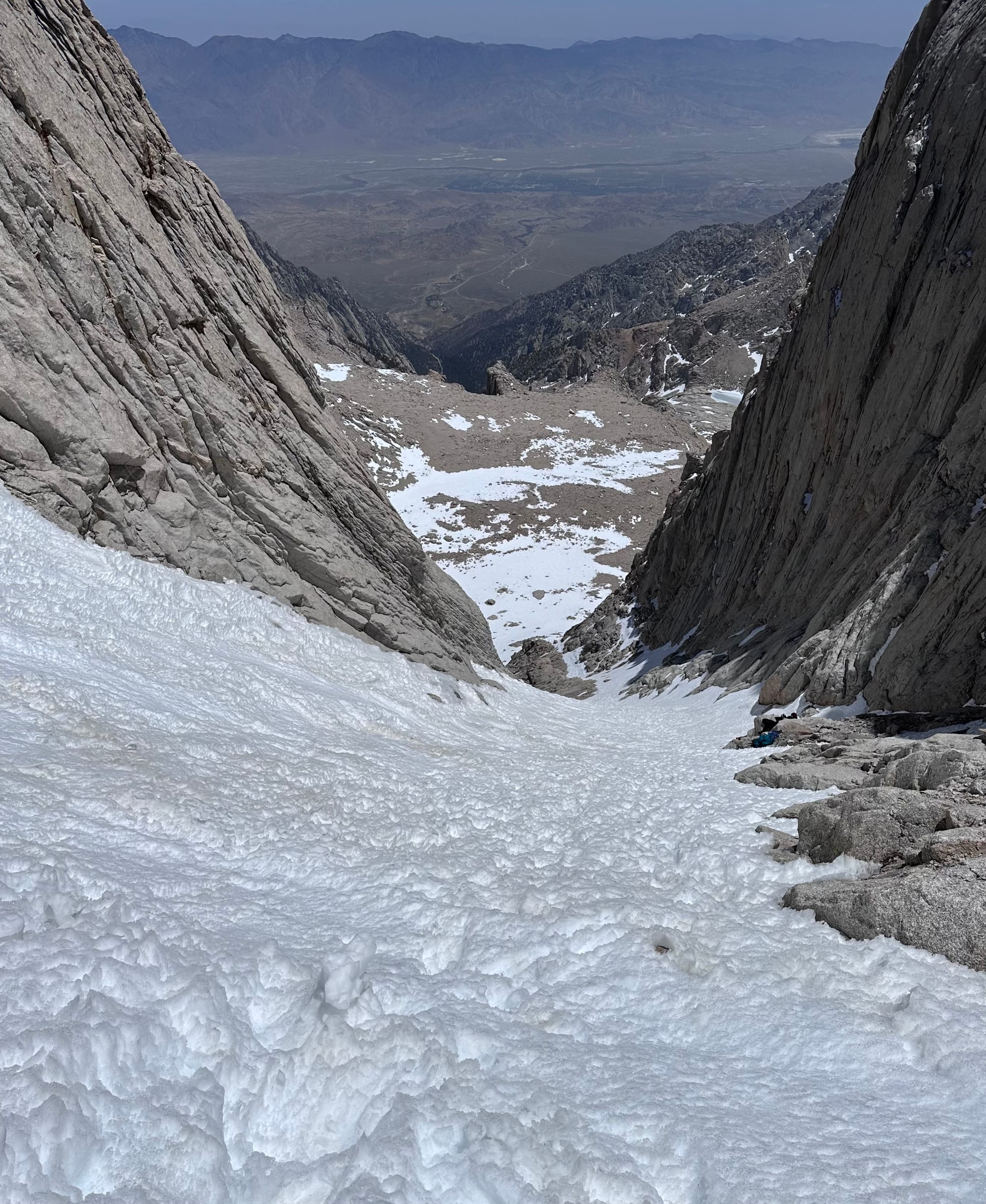
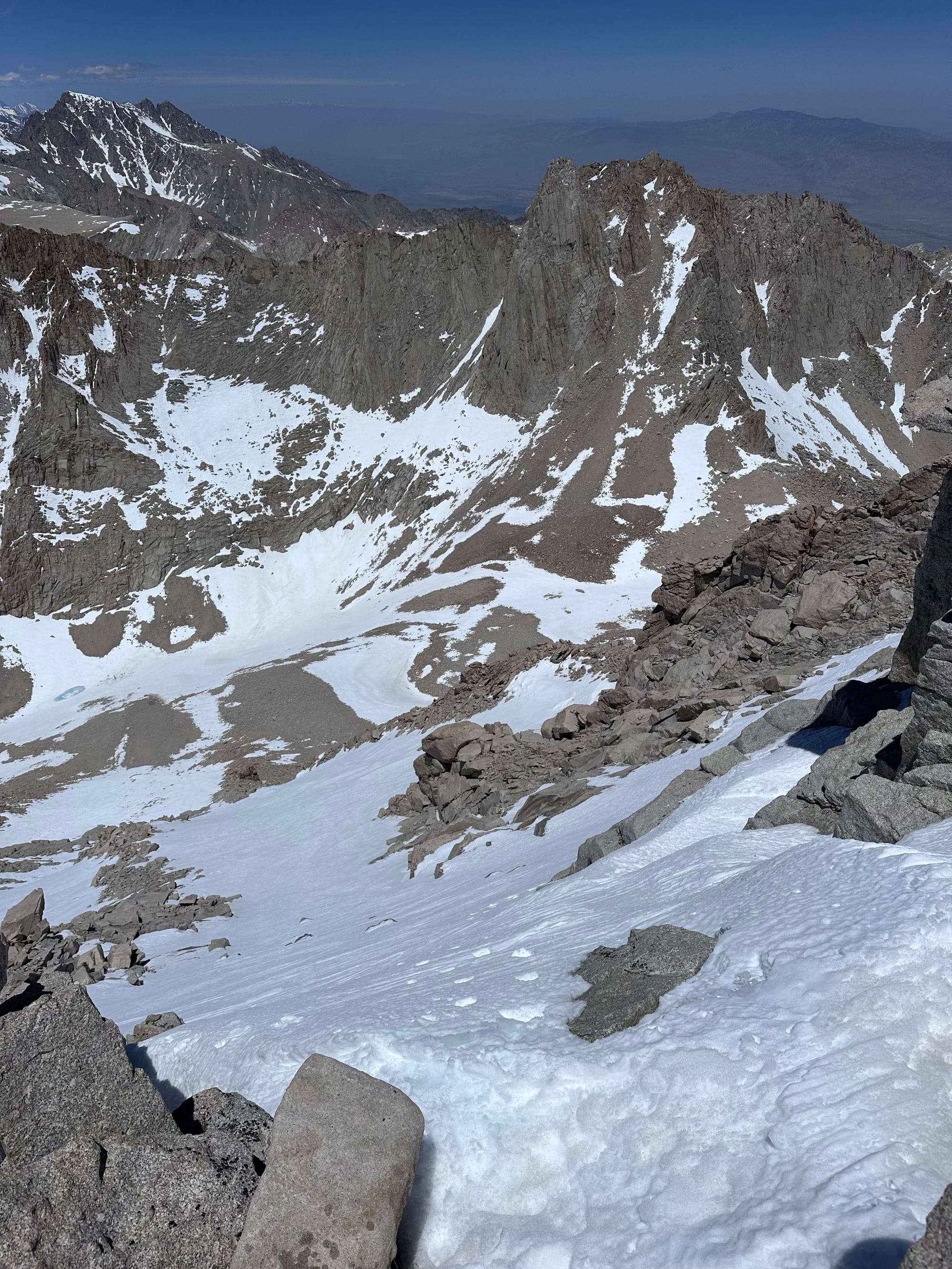
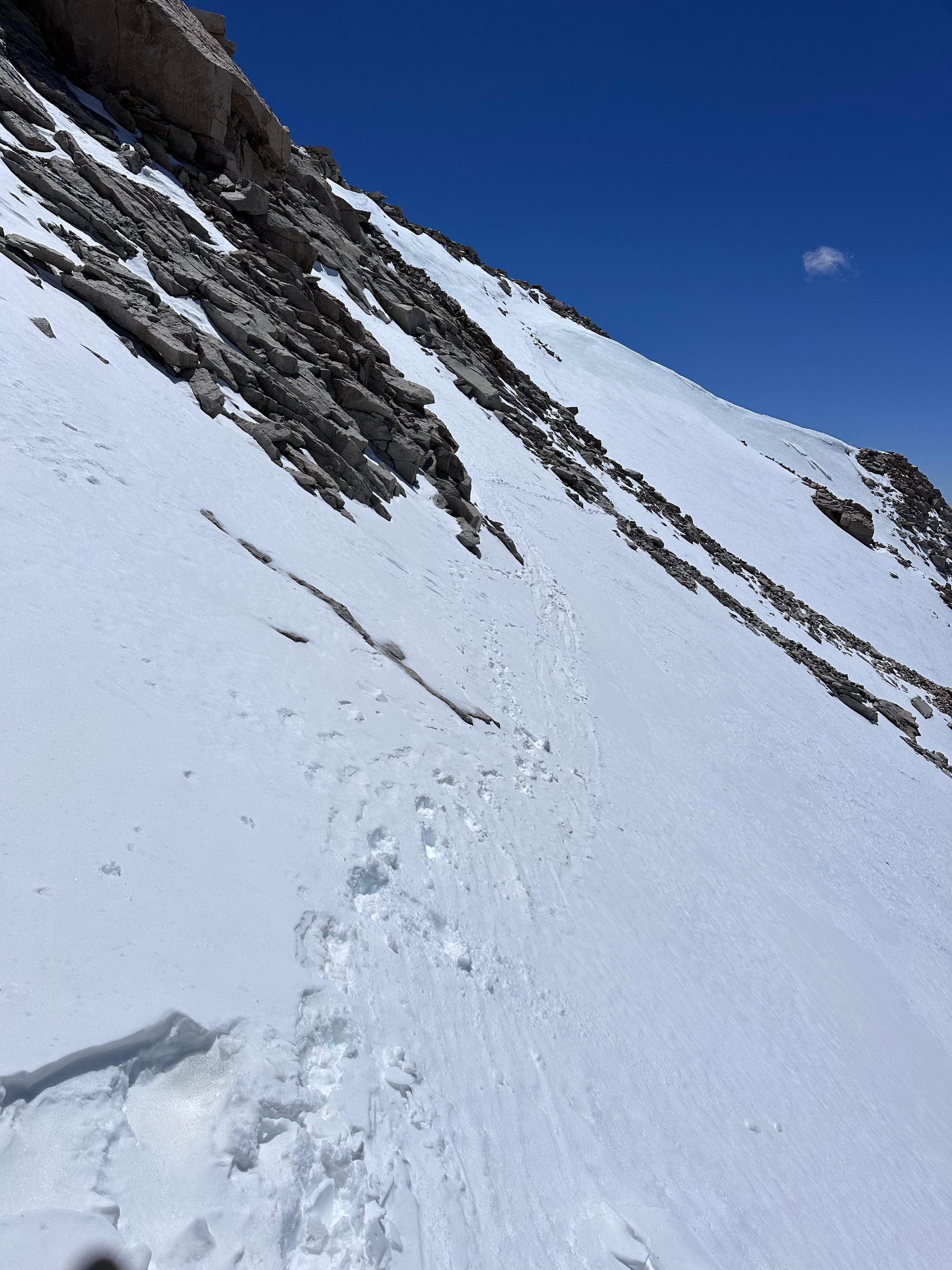
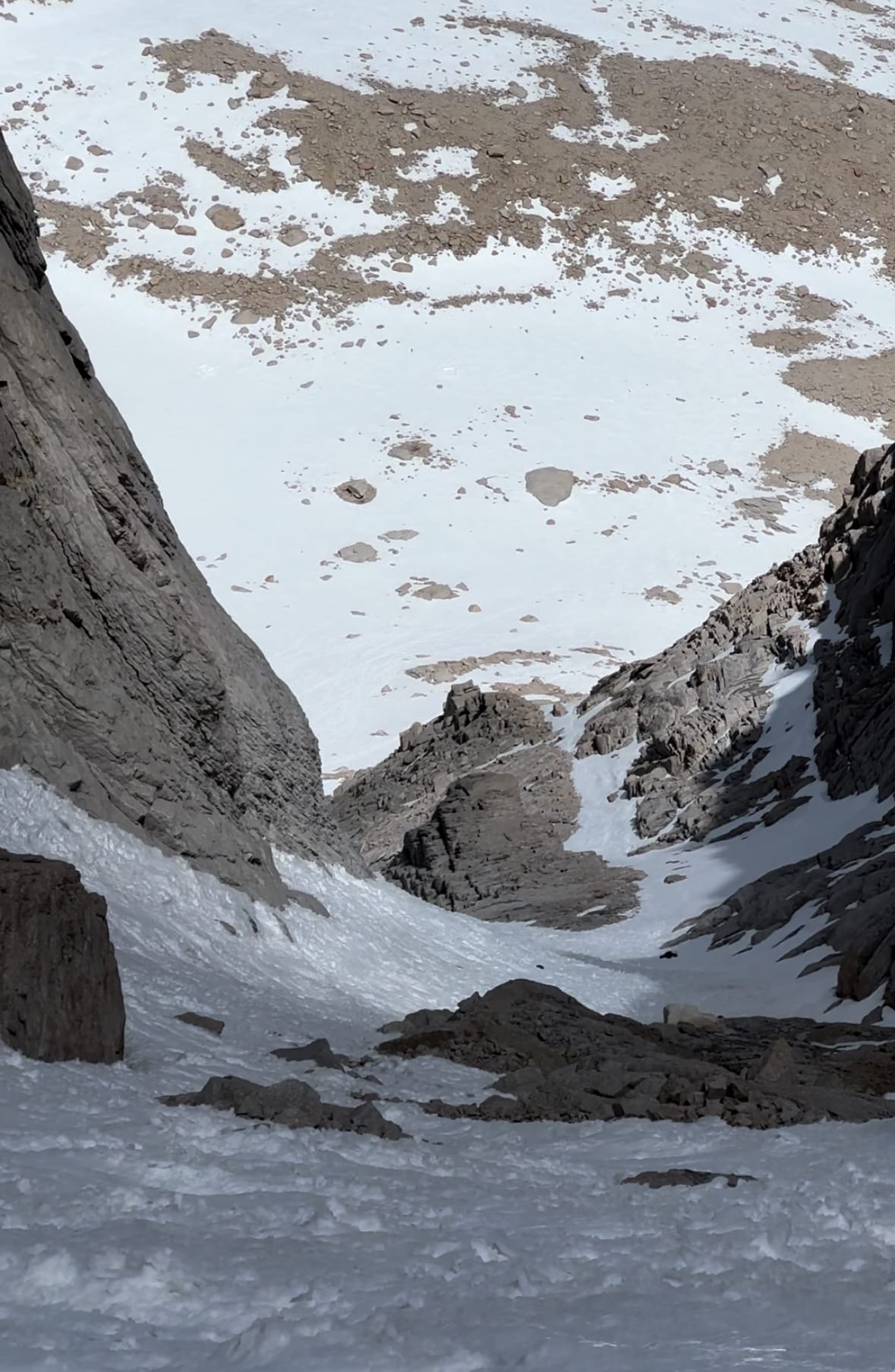
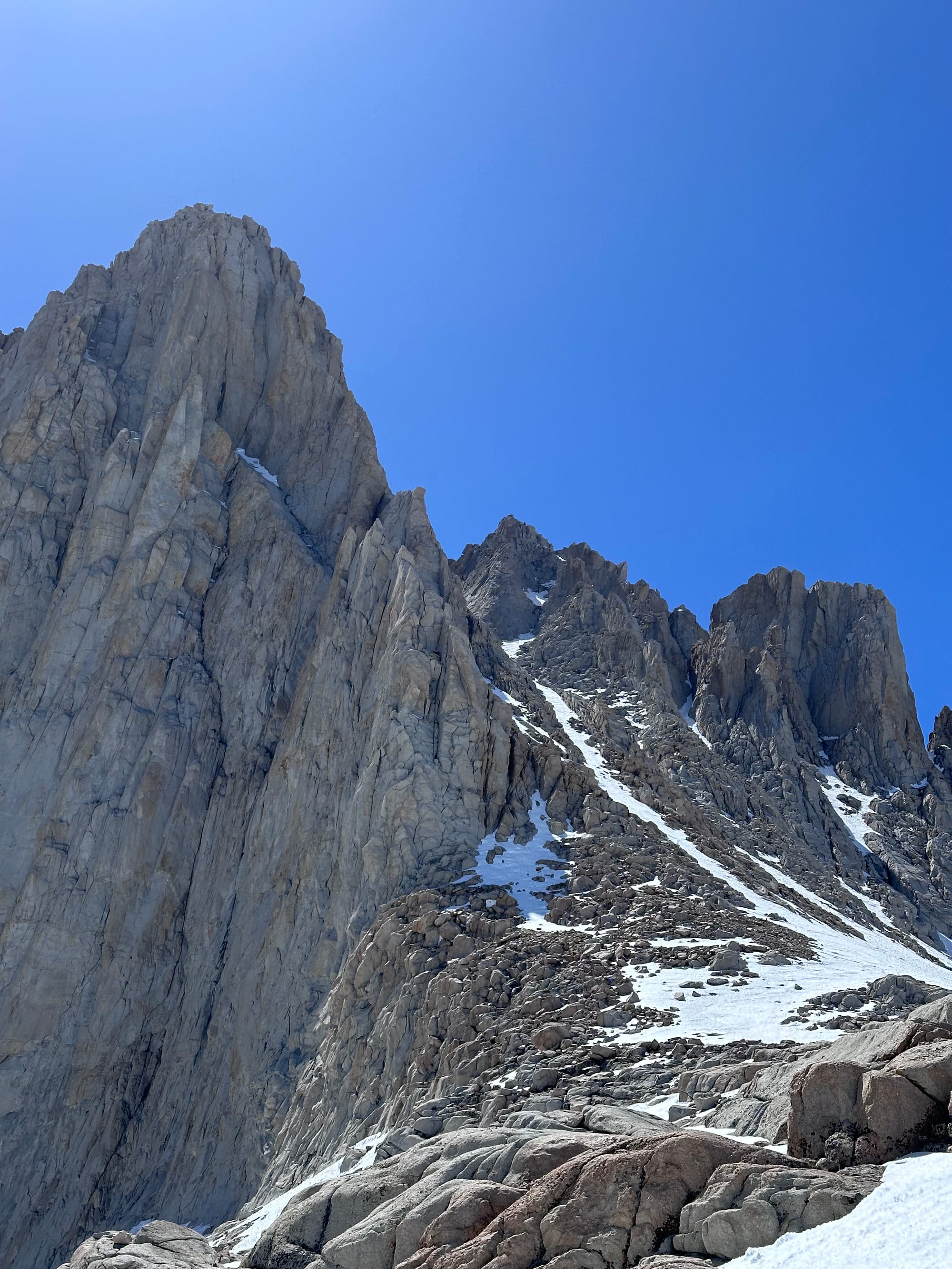
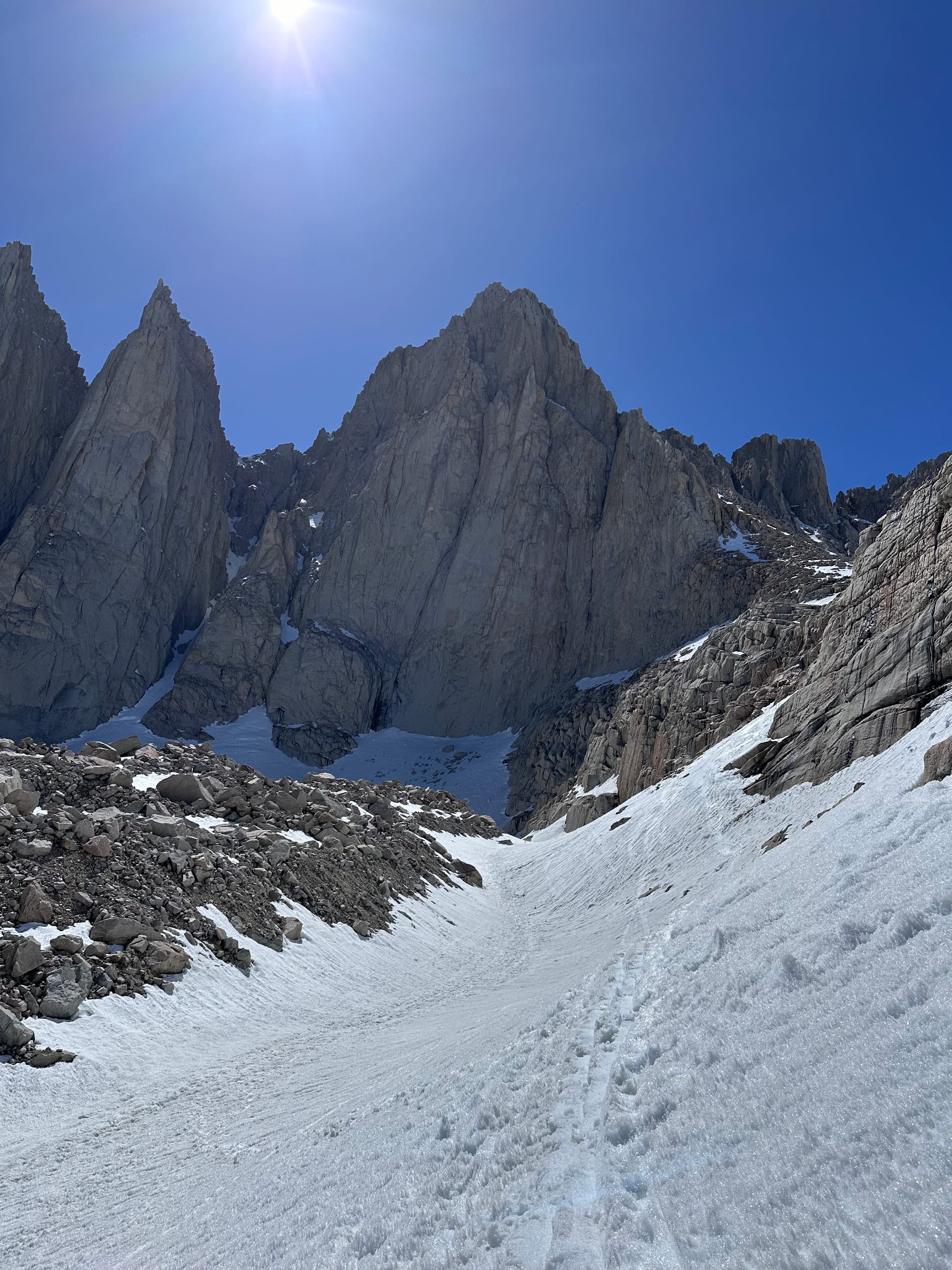
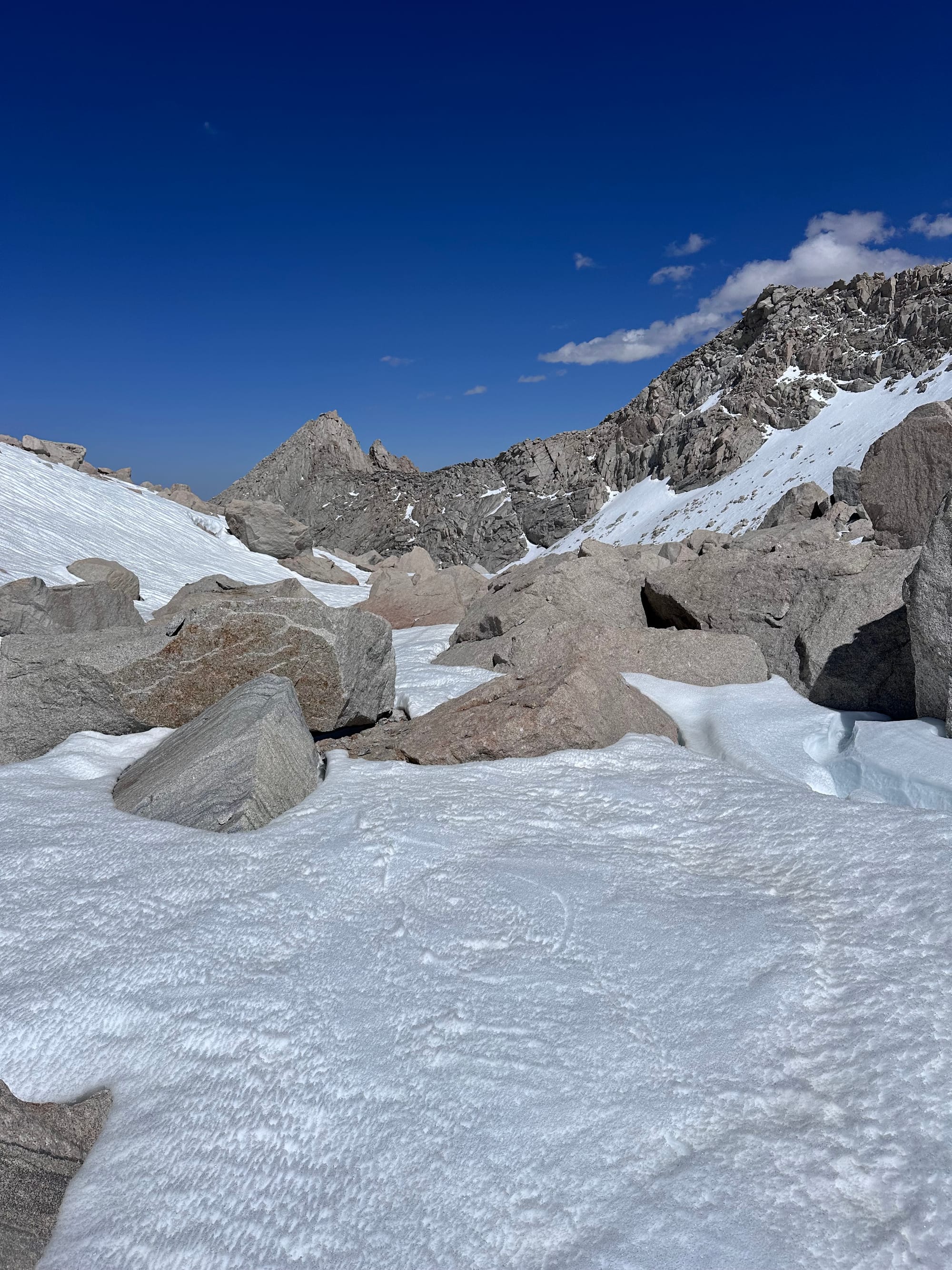
On the way from Upper Boy Scout to the ridge above Iceberg Lake
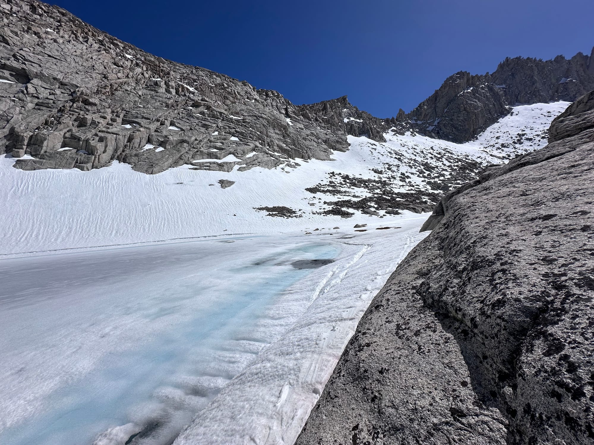
Snow Line, Finally
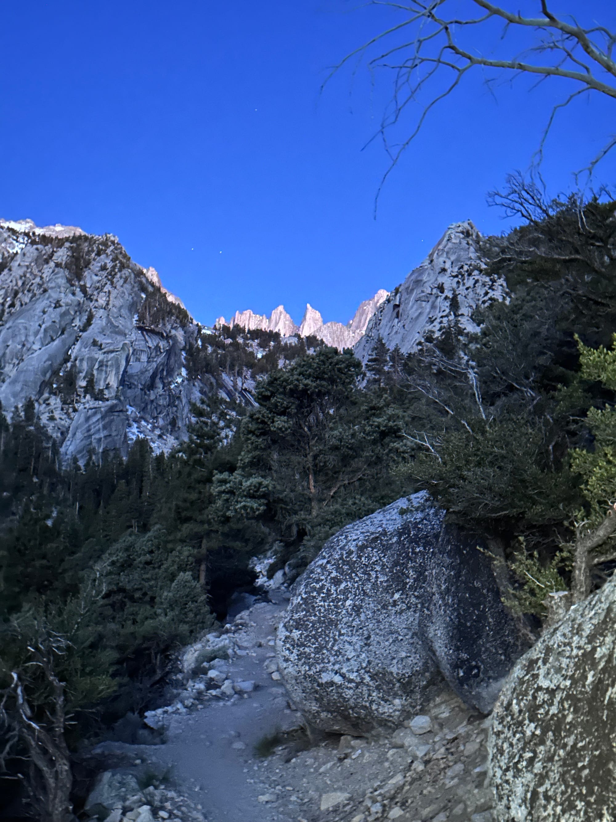
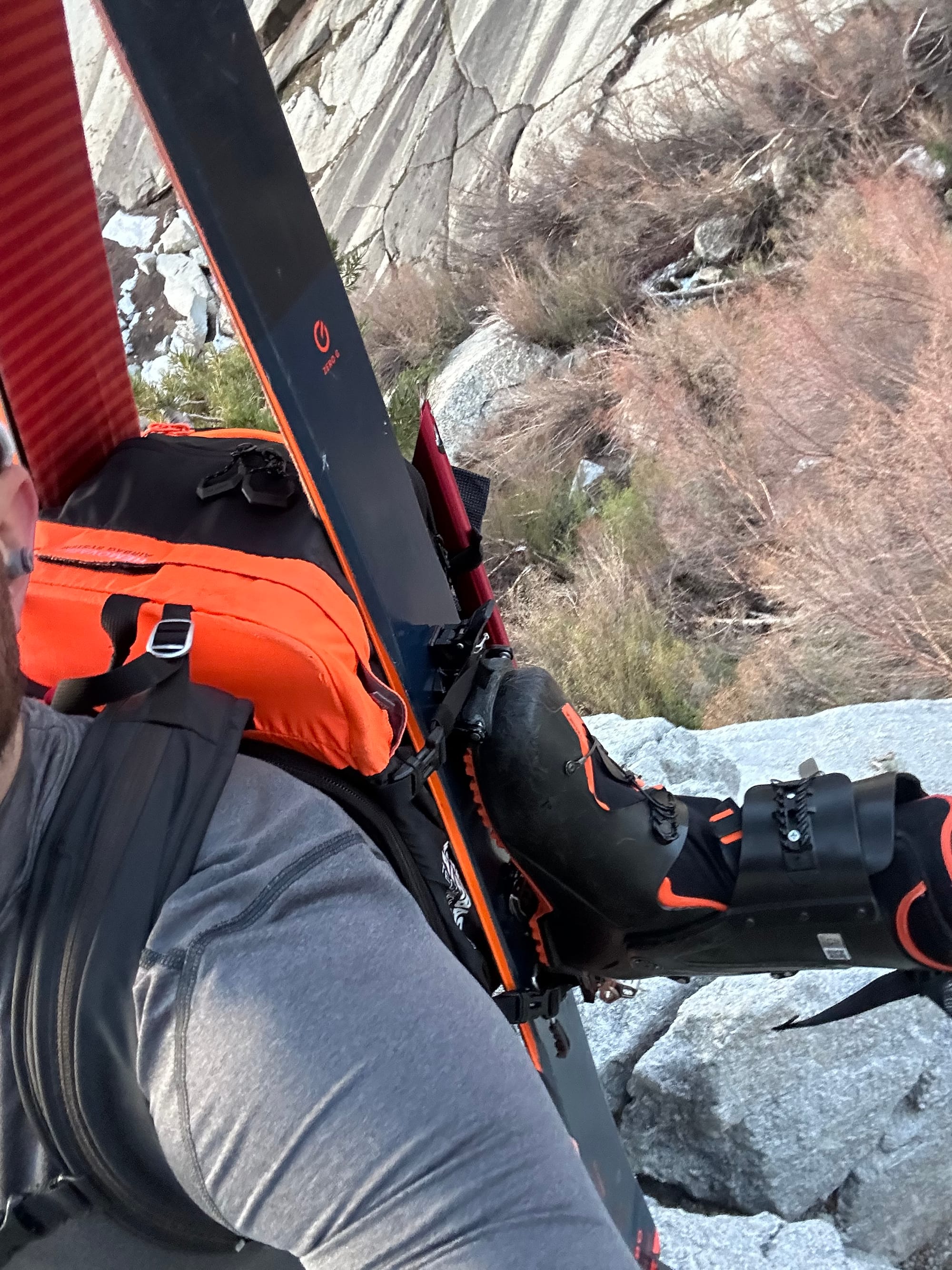
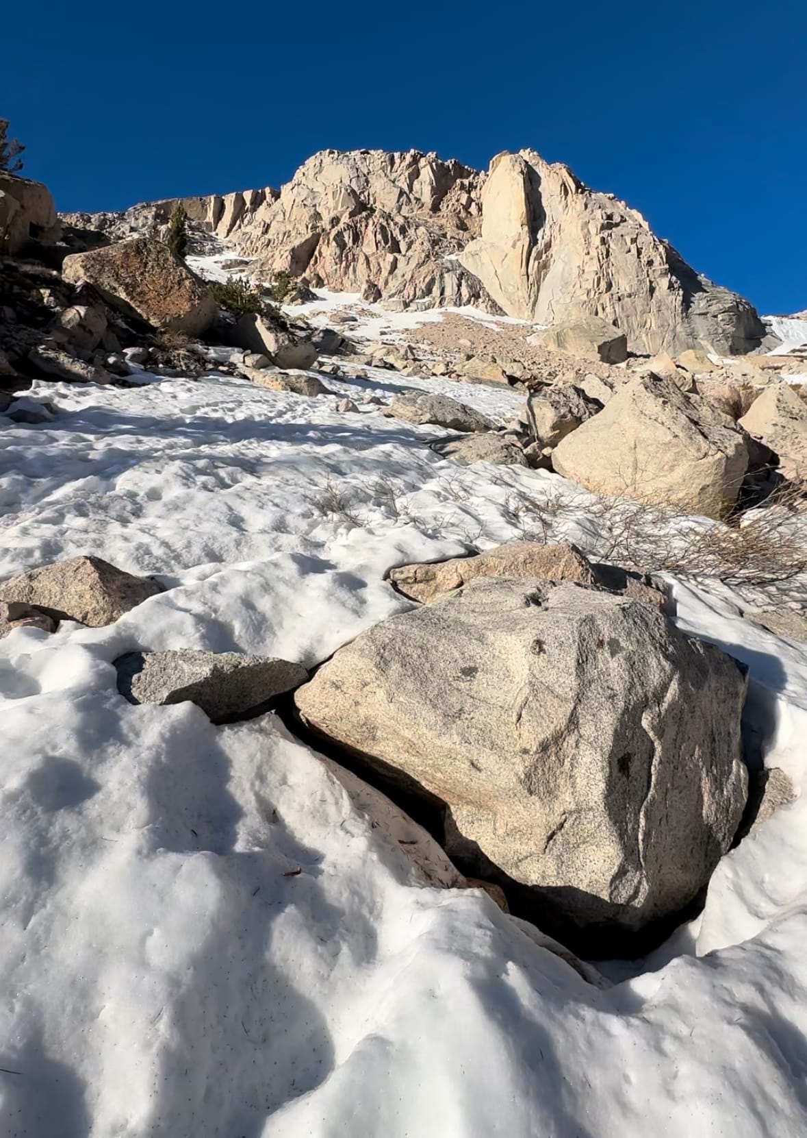
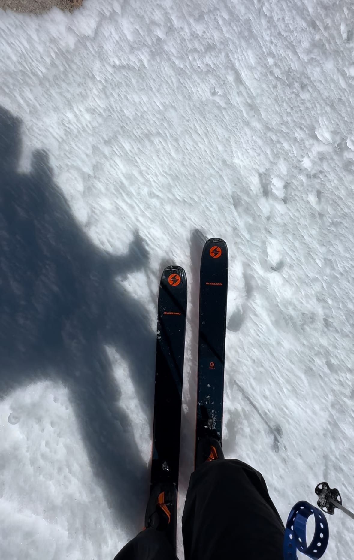
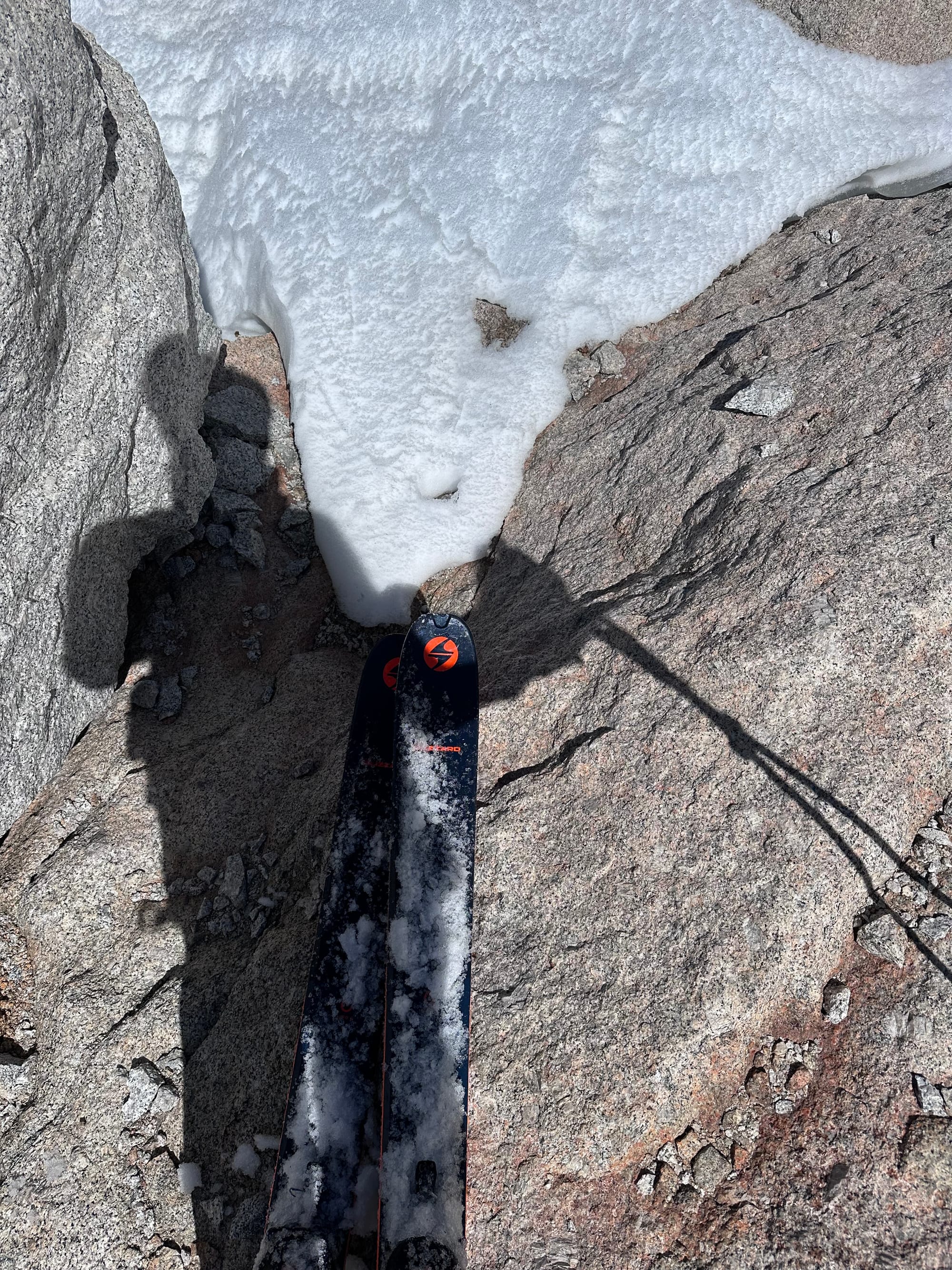
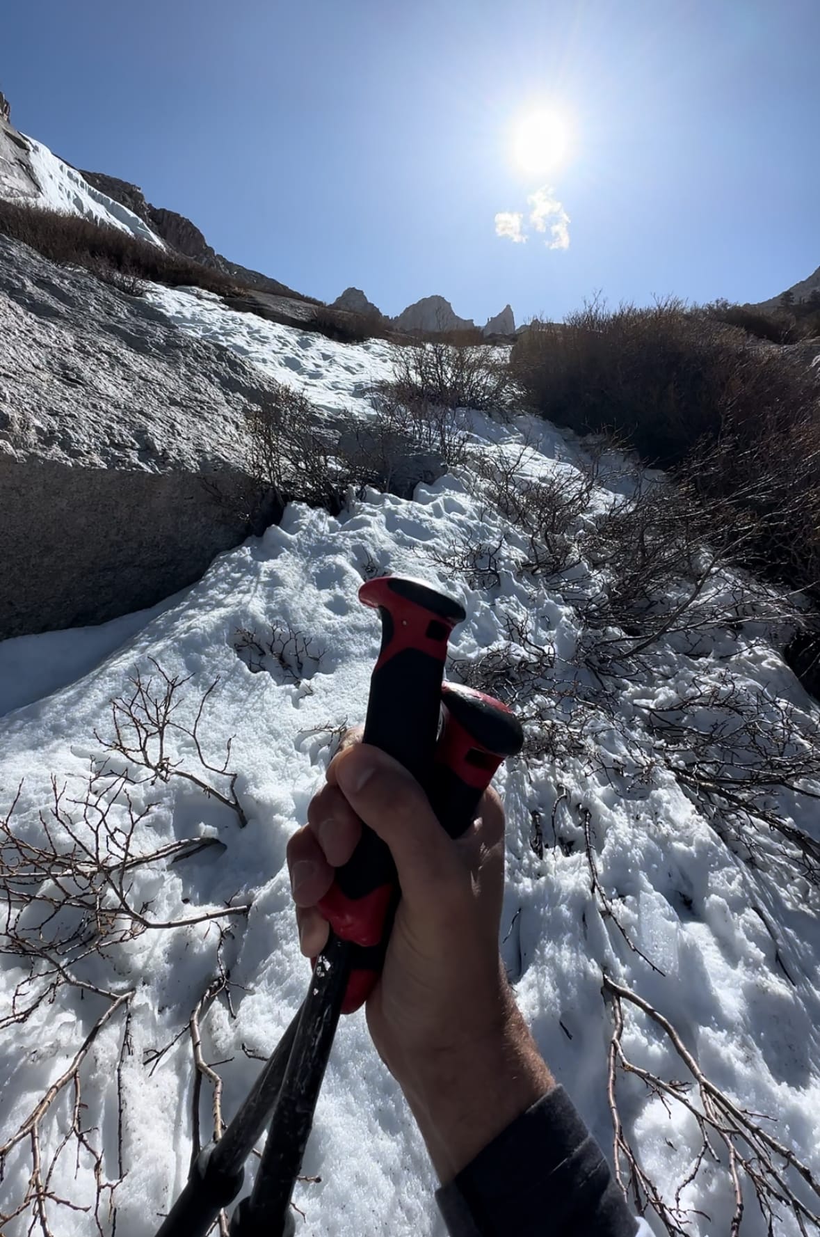
At 9am, I reached a weakness in the ridge just north of Iceberg Lake. Back on steep(ish) snow, I opted for ski boots, fresh socks and an axe. Stiff, plastic toes are much more secure than approach shoes. It was 12k' (1k' higher than I hoped for transition). Snow softened in the morning sun, so I skipped crampons.
I passed a tent, perched on a boulder mid-way up from the gully. My pace slowed, not clearing the ridge until 9:25am. Atop the ridge, and Iceberg Lake in view, I decided to skin a few hundred feet. I switch-backed and kick-turned toward the couloir entrance, skinning as far as possible for a break from bootpacking.
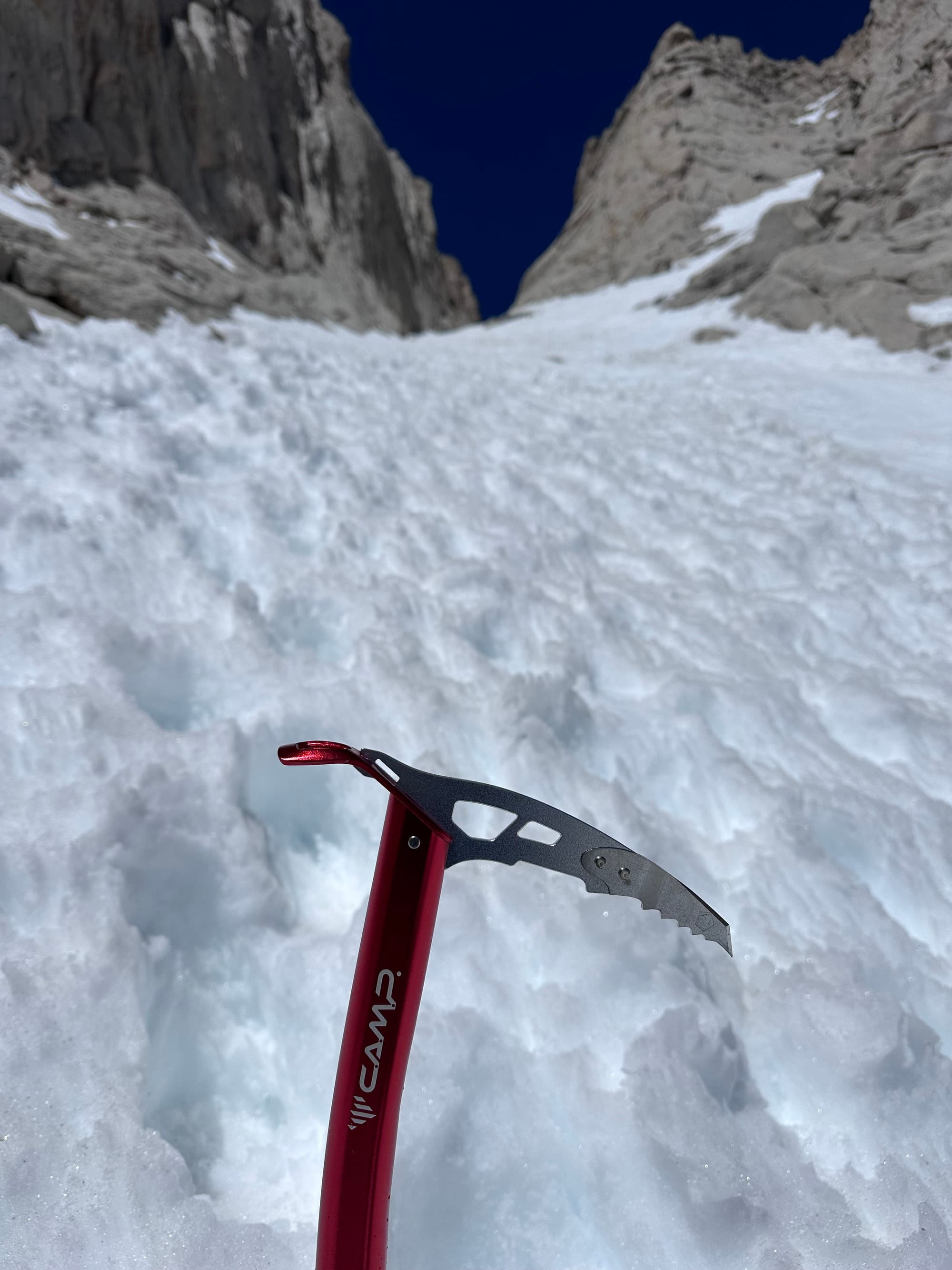
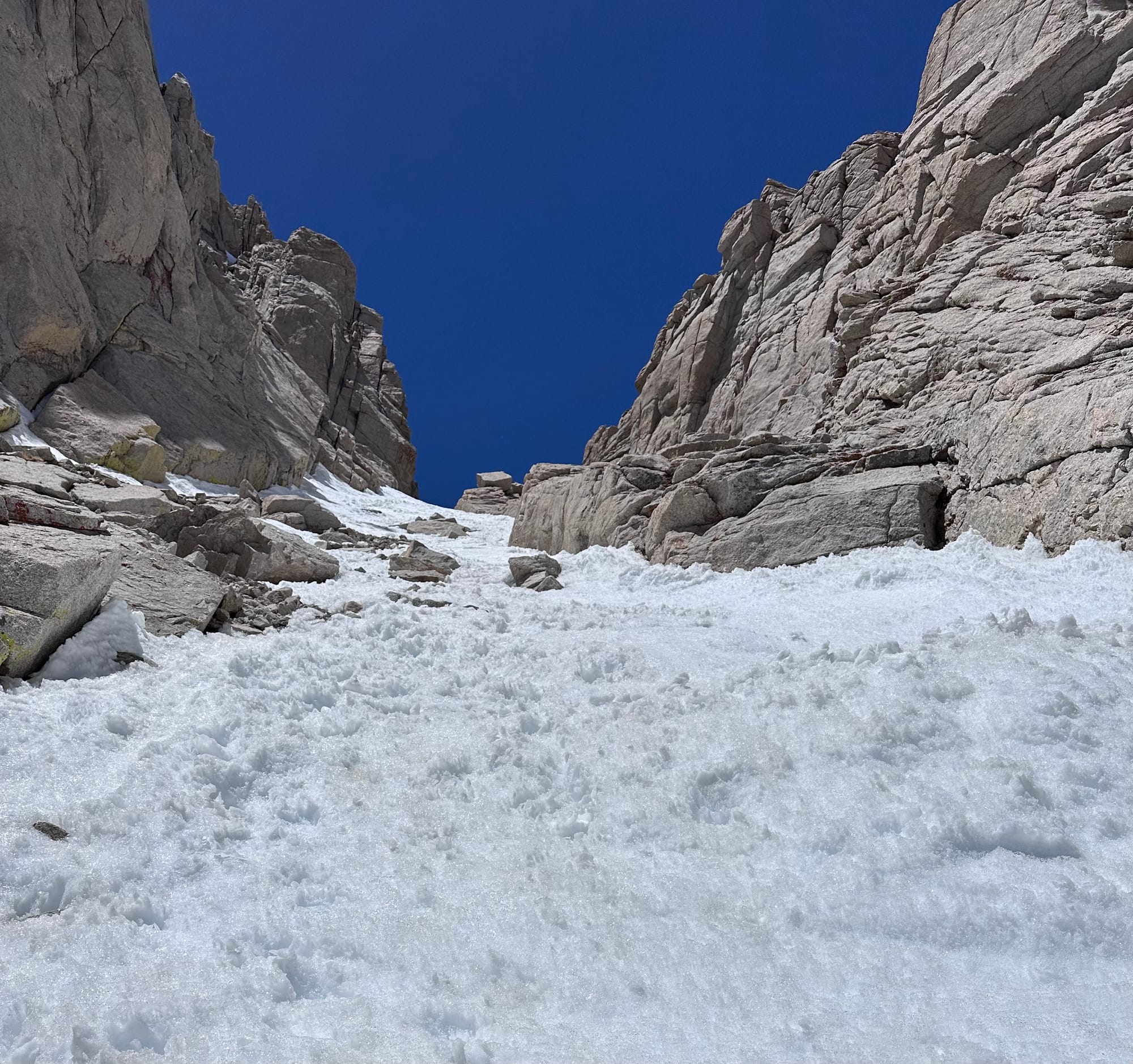
At 10:30am, just shy of 13.2k', I reached a steeper bootpack, stashing skis and adding boot crampons. Not absolutely necessary with soft snow, but nice security against a second unforced error. Now below tall cliffs, I added a helmet.
I spotted the stranded hikers ~halfway between me and the notch.
Ridge above Iceberg Lake, up to the couloir's base
WFR in Action
At 11:15am, I approached the pair at 13.8k', laying on a boulder to looker's left. I noticed blood, not in the earlier description of the scene. I asked, "How are you guys doing?" Unenergetically, they replied, "Not great."
An hour earlier, a loud bang woke them from a nap. The uninjured one felt a sharp pain in his lower back and cried out. They speculated a gunshot or canister explosion from above. Rockfall seemed more likely, a small piece of scree falling ~1k' from cliffs above. (Their boulder was directly below the summit.)
The pair was exhausted from a night in the couloir. The hiker who fell talked with SAR. Dried blood covered the shirt and pants of the previously uninjured hiker. Their boulder now included a small pool of blood.
SAR insisted they descend. The impaled hiker winced pushing himself off the boulder, a clump of congealed blood falling off his lower back onto the rock. With all his energy, he struggled to take one step every five minutes.
Unoptimistic, I suggested they hold tight and insist SAR organize a short haul. SAR wanted them below the couloir at 13k', far easier / safer for the rescue crew. I spotted the impaled hiker as he attempted a descent, until he finally embraced reality. I helped him traverse to a lower boulder, warmer and more secure.
The other hiker told SAR they'd hold tight. I gave them extra calories and offered to inspect / re-dress the wound. Latex gloves on, I checked for more bleeding beneath Gore-tex pants. They thought there was an entry and exit wound. I only found one entry wound and no additional bleeding beneath the pants.
His jacket had a small hole next to the entry wound. His friend tied a t-shirt around his waist to arrest the bleeding. It loosened when he tried to descend, but the wound wasn't actively bleeding. I added a sterile pad on the entry wound and tightened the t-shirt, enough for an hour (SAR's ETA).
Each hiker was warm with extra layers, sitting in the sun and wind-sheltered. Mental states and skin color stable over the hour I spent with them. Both in good spirits (considering the situation), joking and saying I shouldn't miss my summit. Another 15min monitoring and confirming SAR ETA, then I stashed my latex gloves in a bag with my own bloody bandages and left my phone number to call if conditions deteriorated.
At ~12:30pm, I resumed my ascent. One of a few hands-on medical incidents since my WFR course a couple summers back.
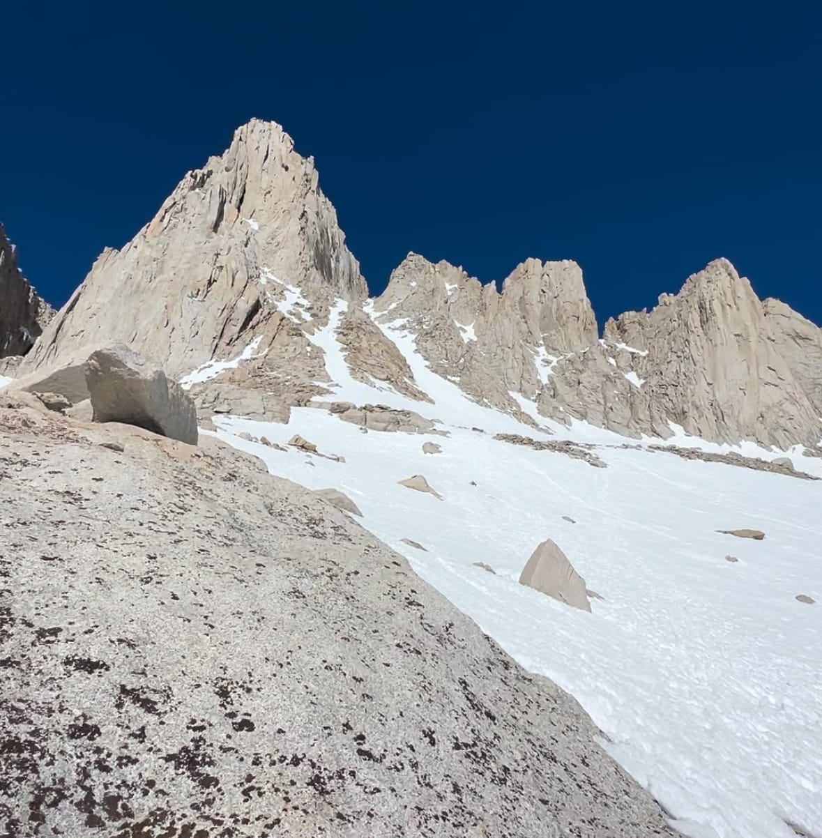
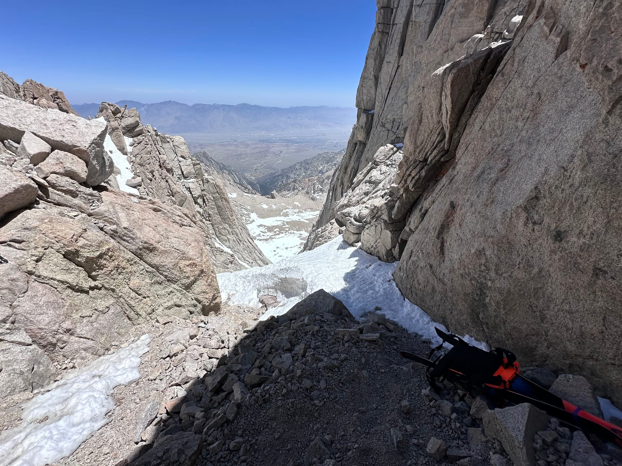
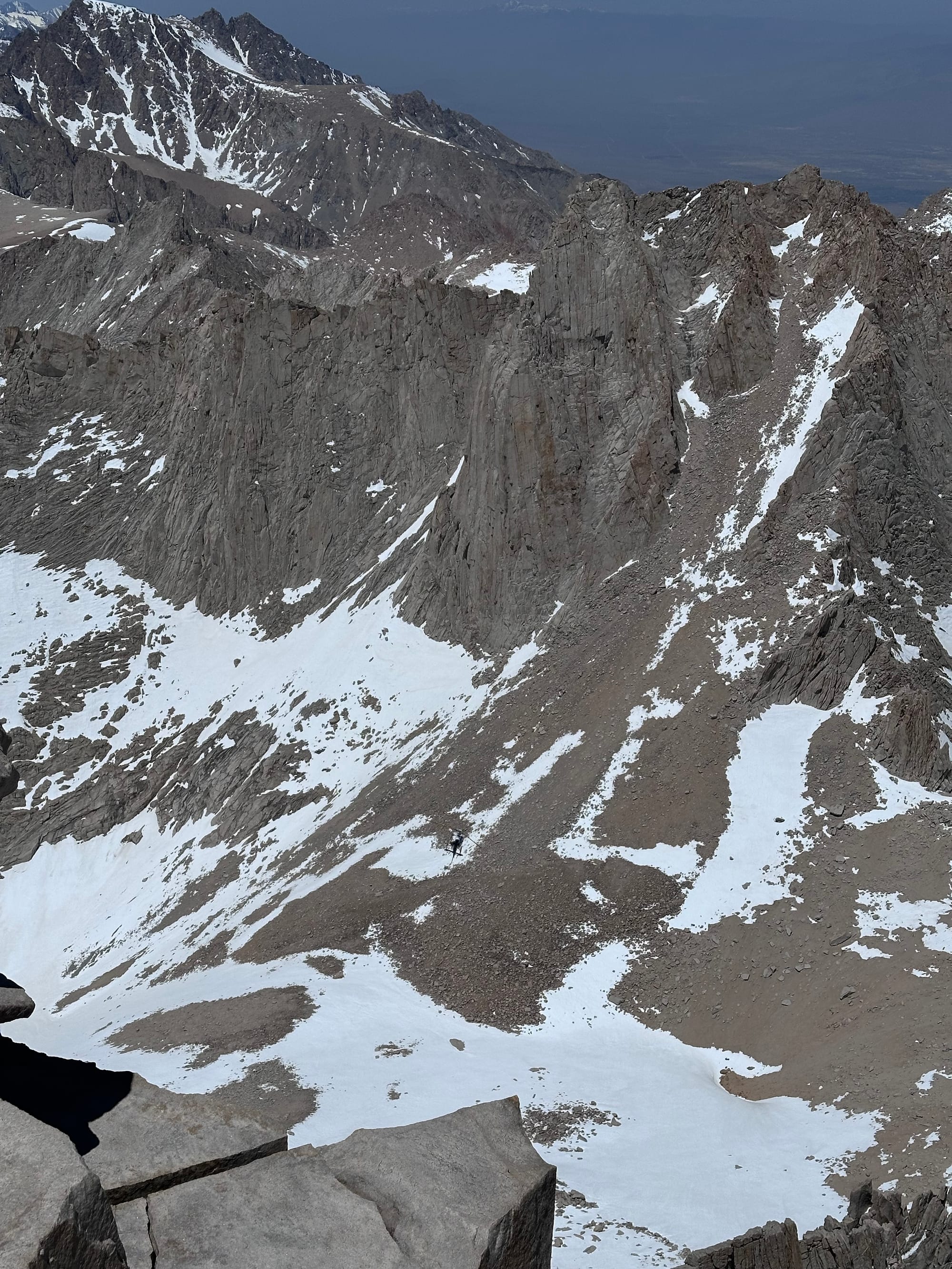
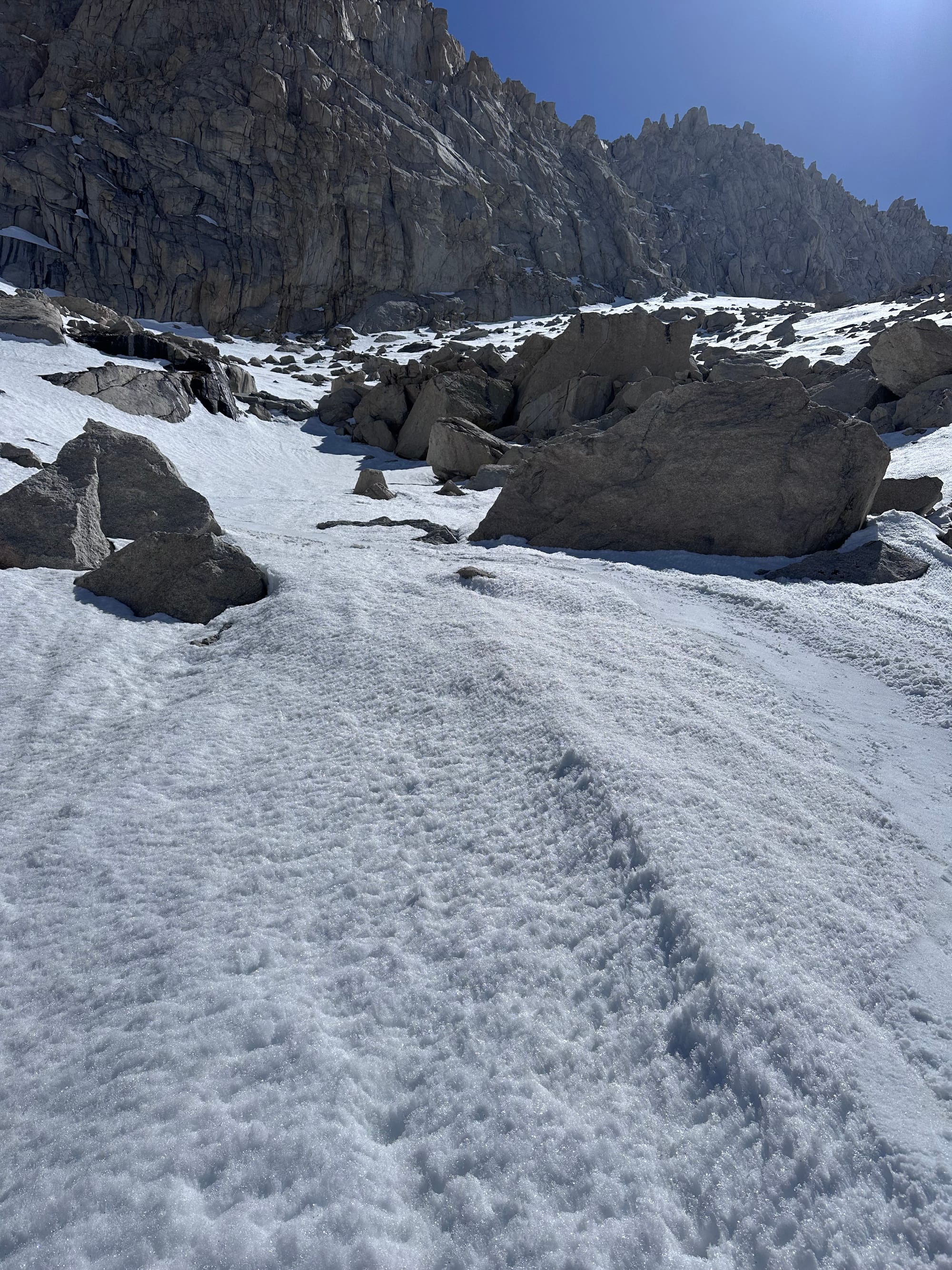
Continuing the couloir bootpack from 13.8k' (stranded hikers on a boulder below)
Back to Mountaineering
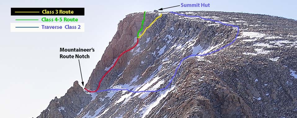
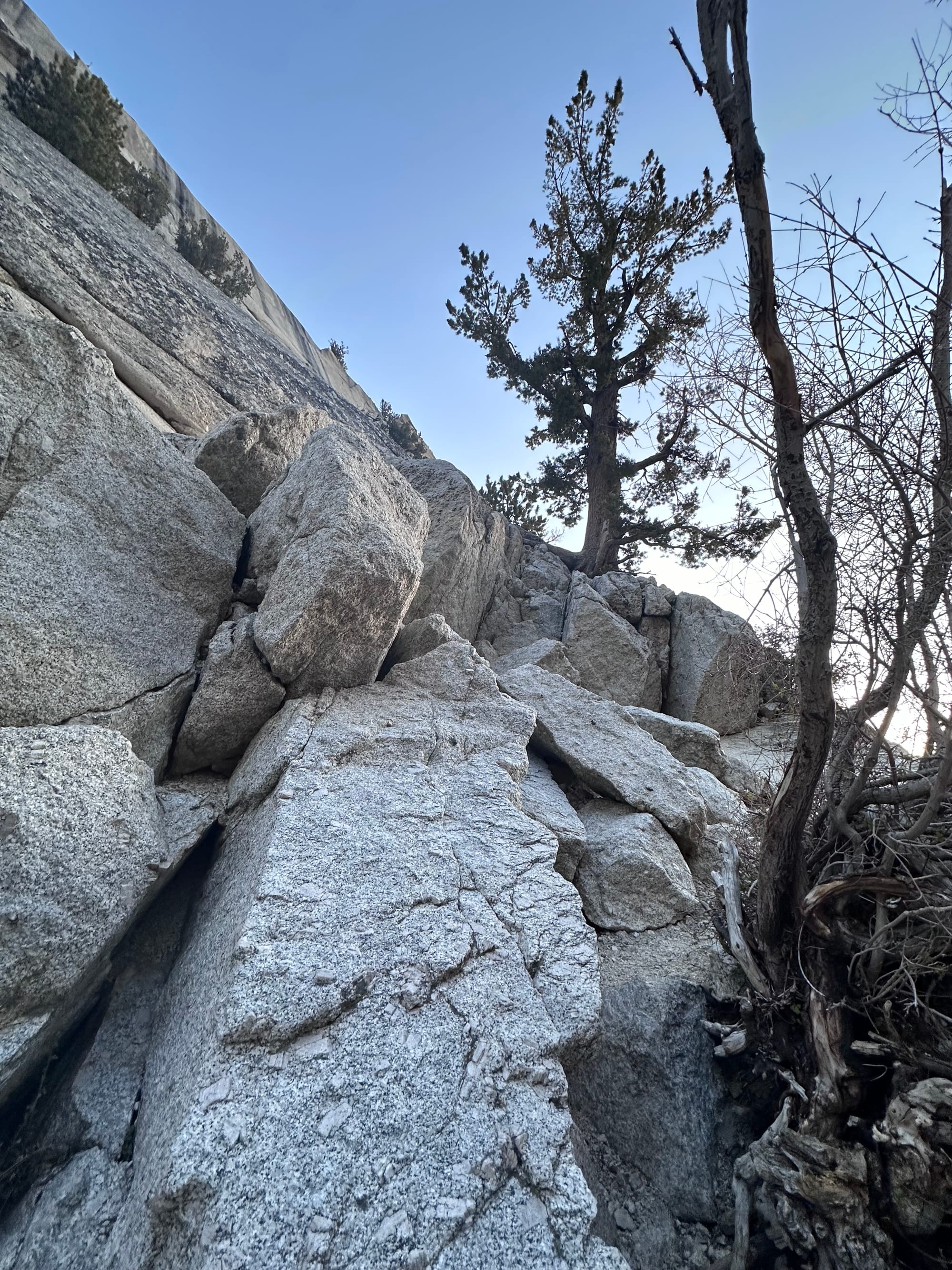
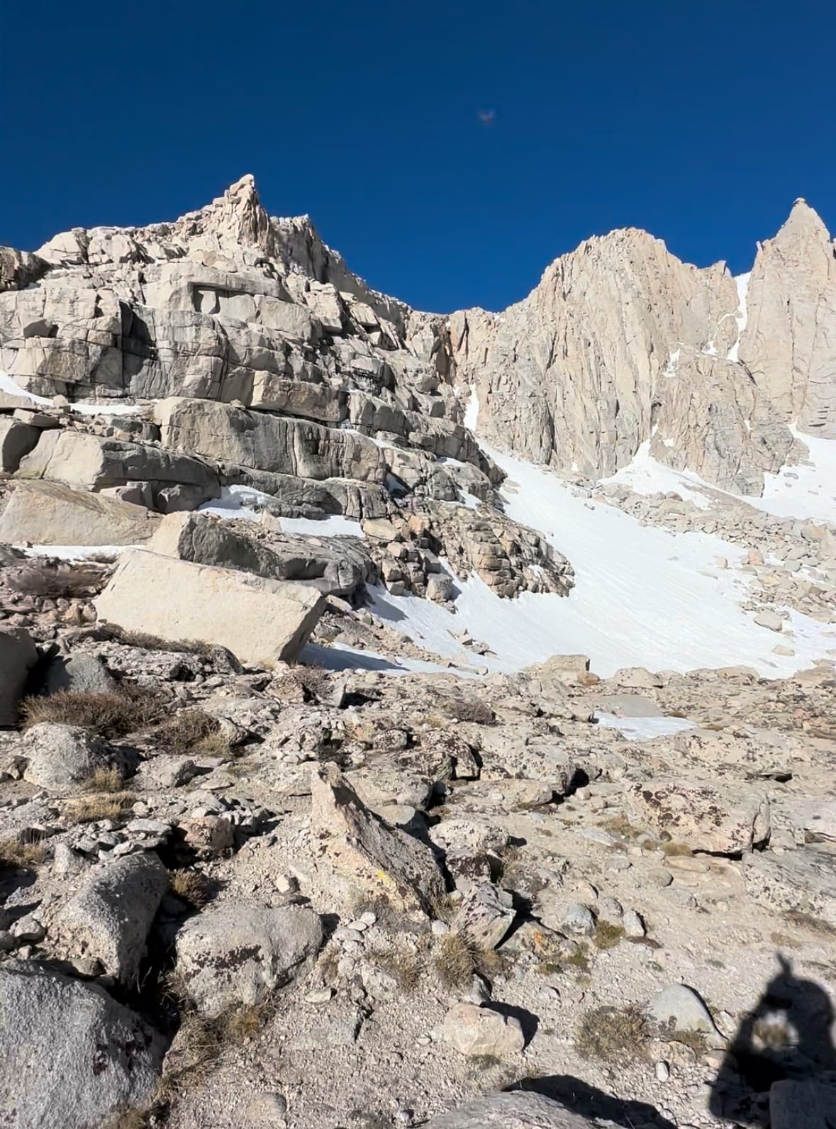
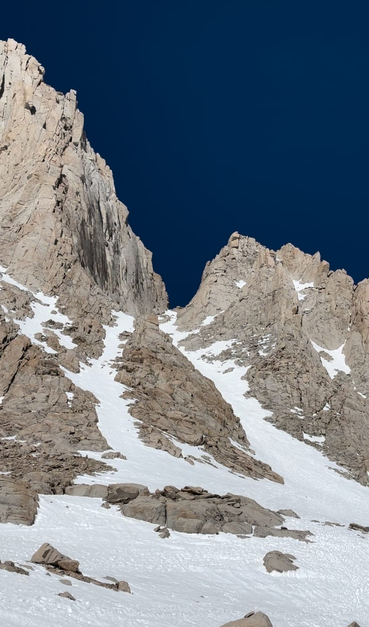
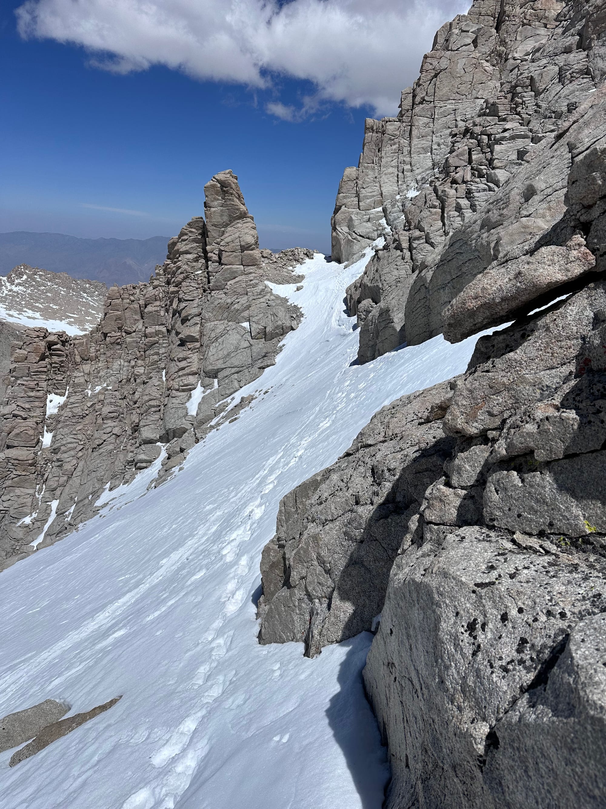
By 12:45pm, I approached the notch at 14.1k. A couple splitboards were stashed, I assumed from a party ahead, though I hadn't seen any groups ahead. (I later learned the boards belonged to the party that slipped a couple weeks earlier.) Blissfully unaware, I decided to follow suit, ditching my backpack / skis and continuing with crampons and an axe.
I felt spooked by the incident unfolding in the couloir and the disappearance a couple weeks back, though unaware of its connection to the splitboards.
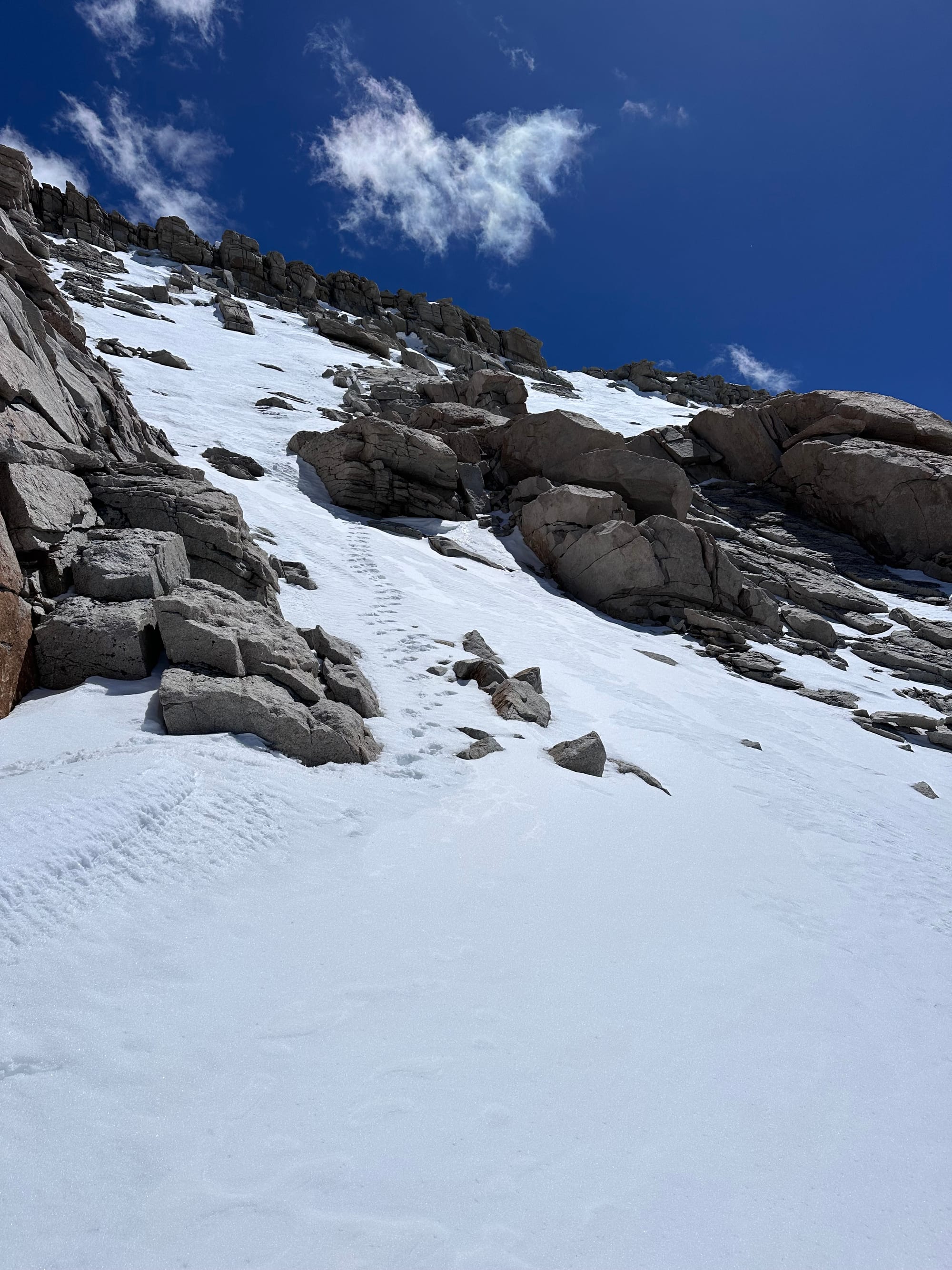
My crampons scrambled over some unavoidable boulders and scree, before I found more snow. I followed the traverse and gazed up at the first gully. Rocky with large ledges above – hard to assess from afar and not ambitious enough for fifth class climbing. I ascended the third (maybe fourth) gully, finding a snow patch that seemed to connect to weaknesses in ledges at the top.
Firm snow in patches, but secure with crampons. I passed a couple icier stretches, plunging my axe spike into the snow for security. Halfway up, I realized I might hit a roof and traversed right. I spotted ski tracks in the gully to the right. A handful of turn not worth the extra weight given billy goating below.
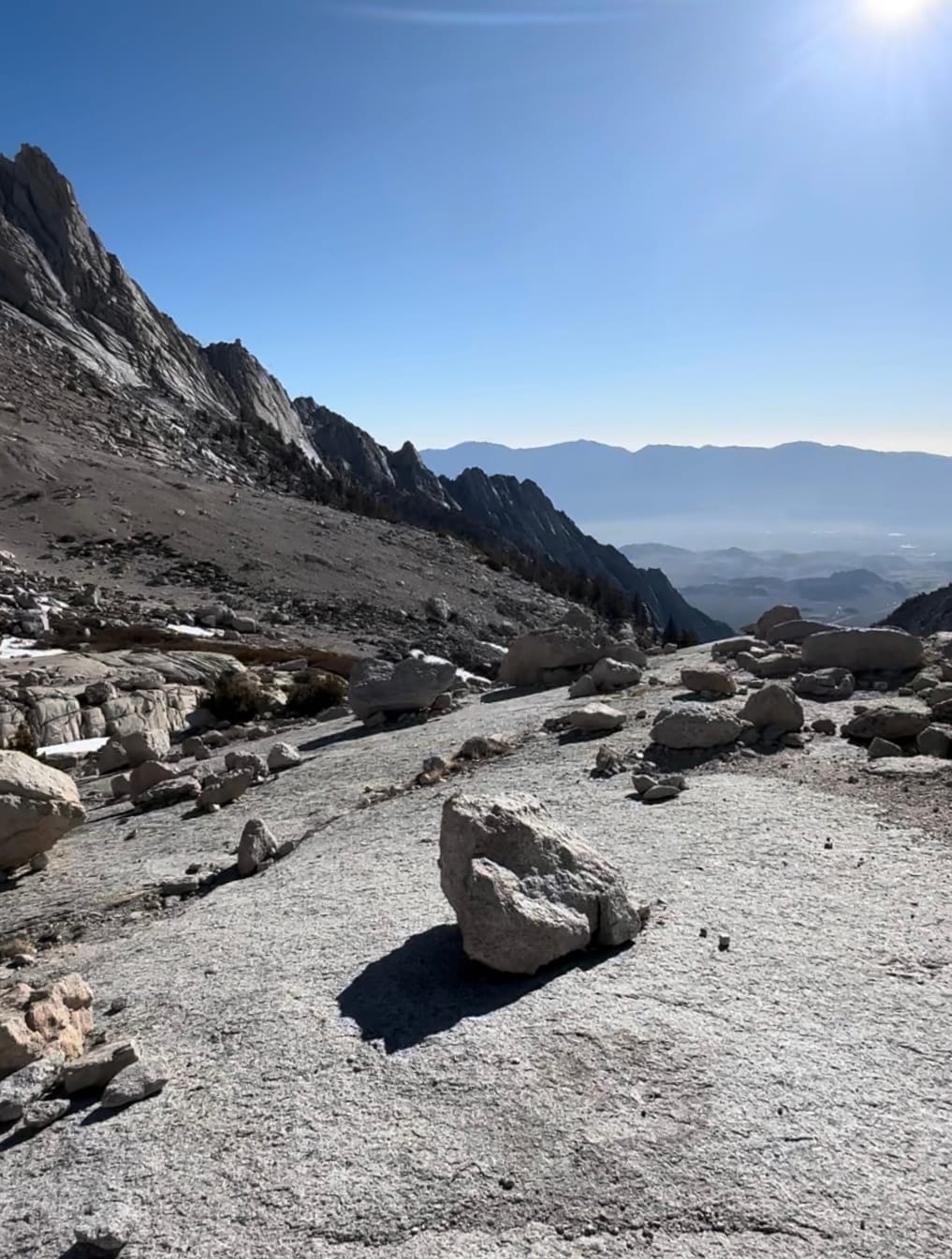
At 1:15pm, I reached a plateau of boulders atop steep north-facing slopes. I ditched crampons for the final 200m shuffle over boulders and talus.
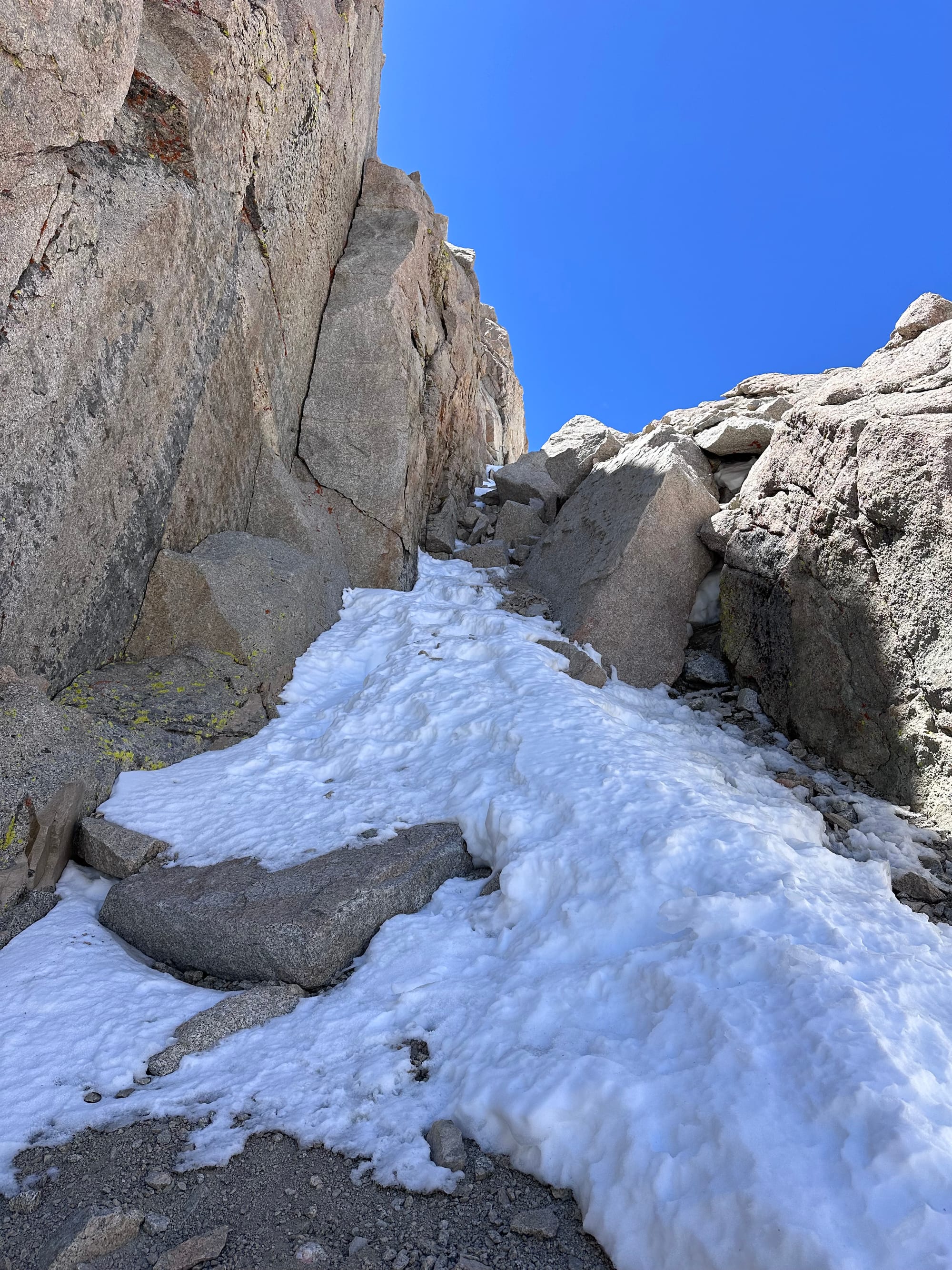
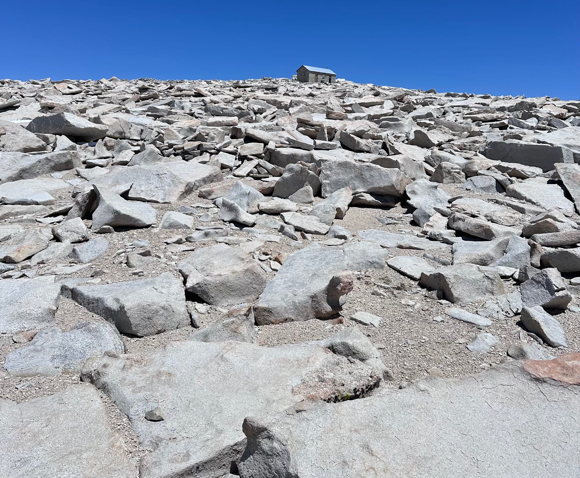
Notch and final traverse / ascent to the summit boulder fields
By 1:25pm, I passed the summit hut and joined five hikers at the worn-down USGS marker. They all ascended the main trail and asked about Mountaineer's. I mentioned the two hikers stranded in the couloir.
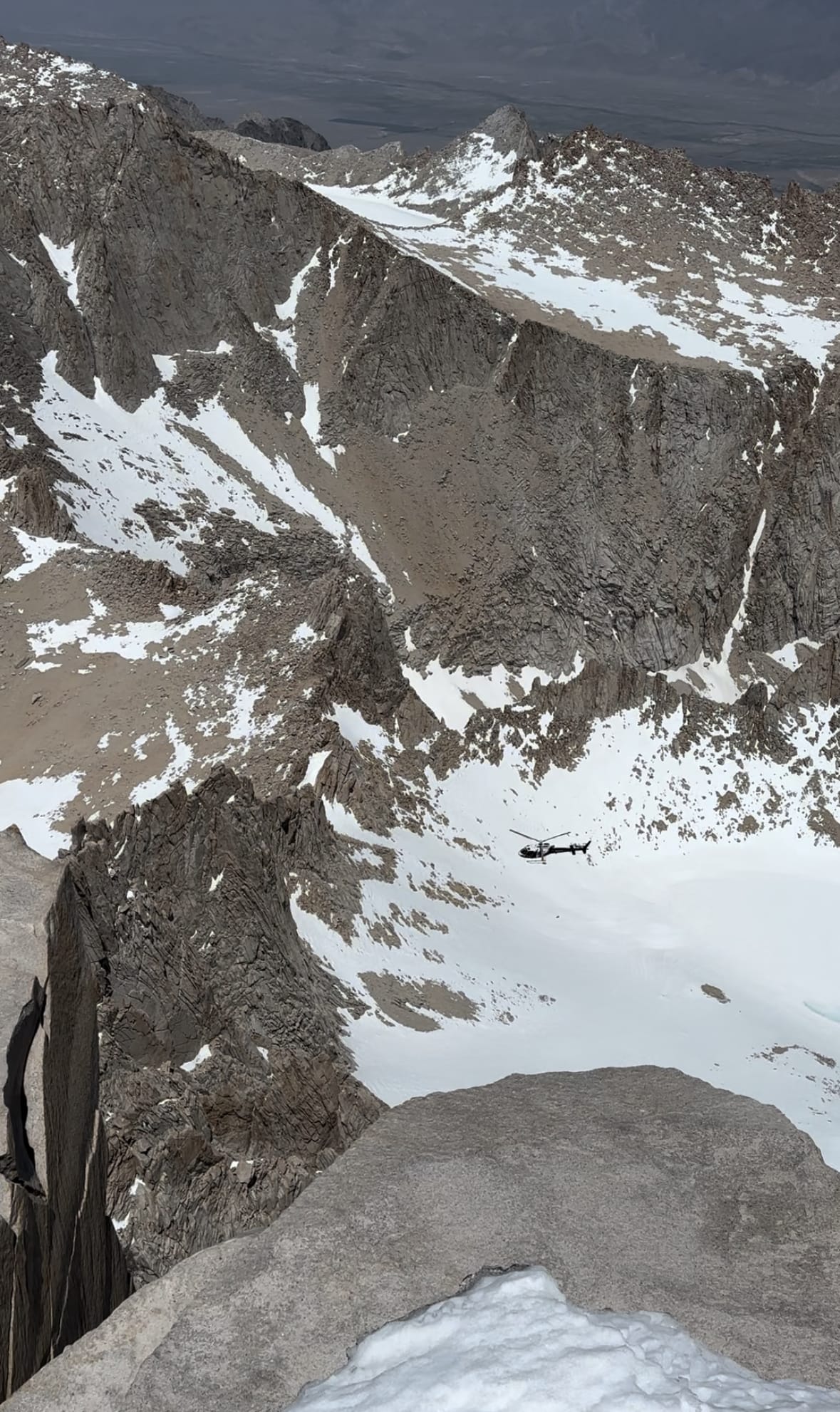
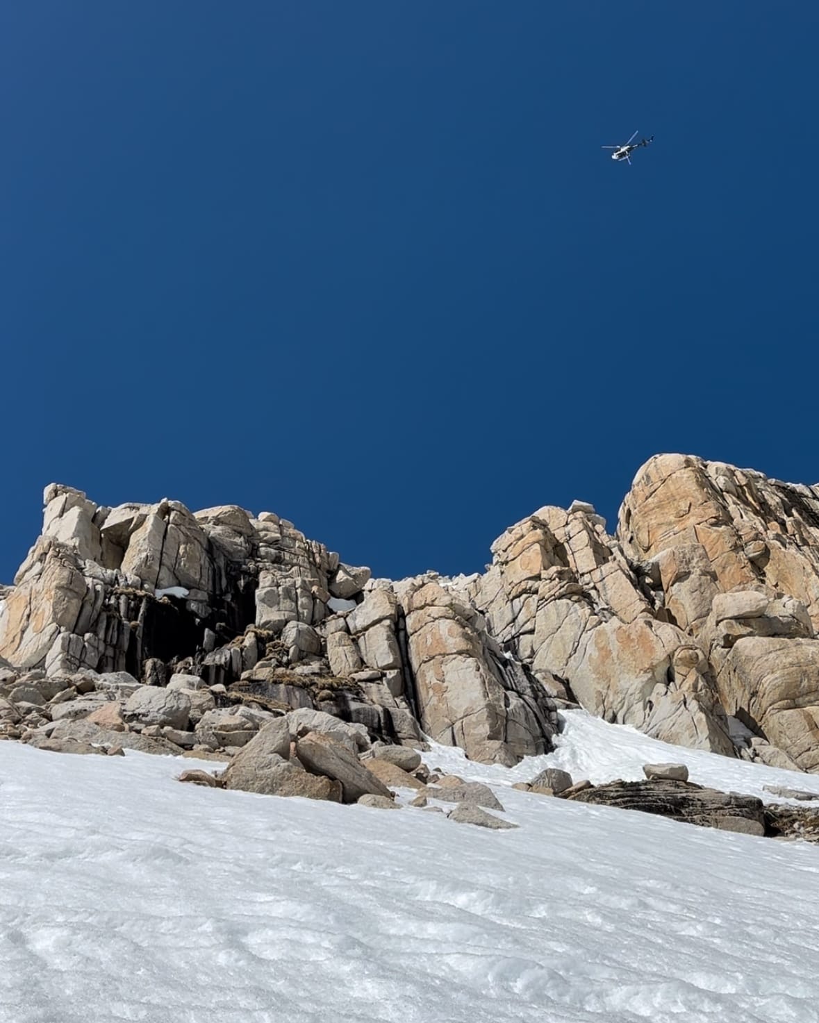
On cue, we heard a helicopter in the distance and spotted it approaching from the east. We watched the crew complete their first pass, identifying the hikers and assessing the scene. Then a slower approach, which presumably led to lowering SAR rescuers beneath the cliffs below.
I took few pictures to document the summit, including a pose with a metal sign left at the summit. At 1:45pm, I reversed course.
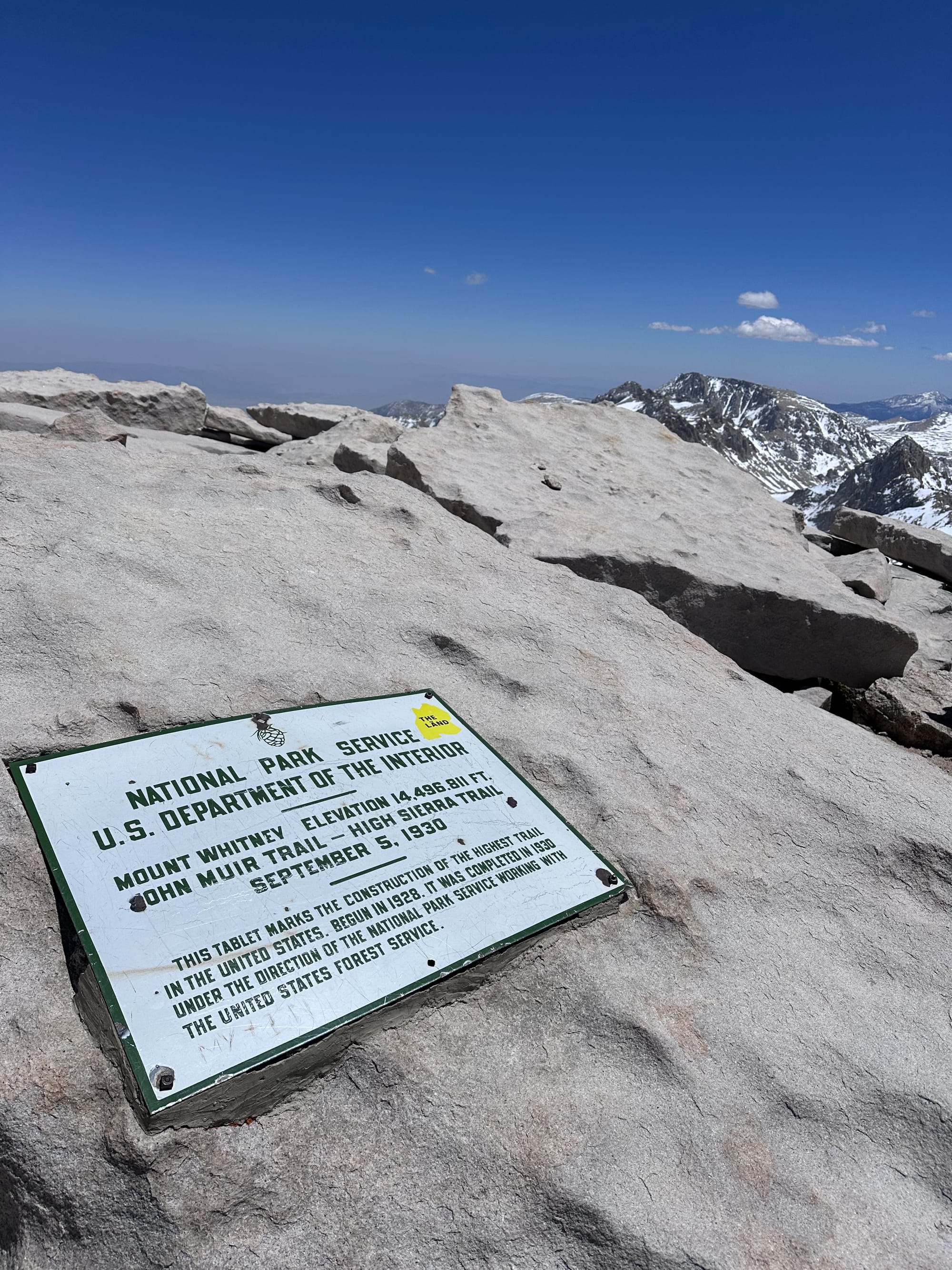
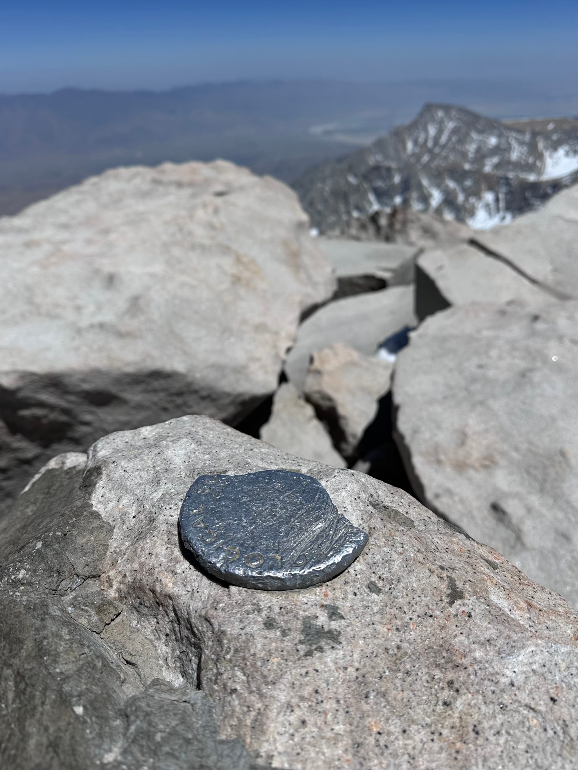
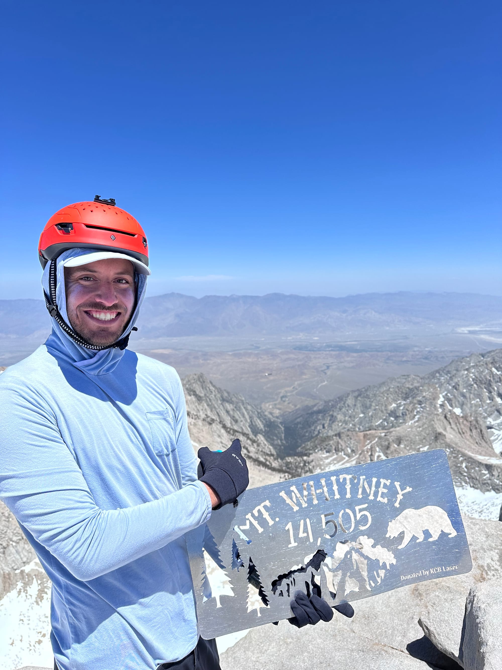
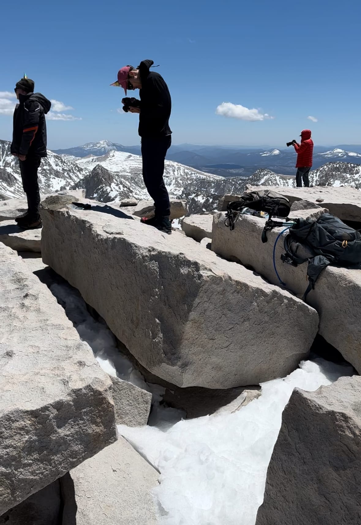
Whitney summit
More boulders, talus and scree in ski boots. I wanted a mellower descent path than my bootpack, and followed the ridge west. Peering onto a less steep line, I added crampons and stepped onto the snow. More spooked than usual, I moved slow, plunging my axe spike into the snow with each step. I crossed a couple icy stretches, taking extra care with crampon and axe placements.
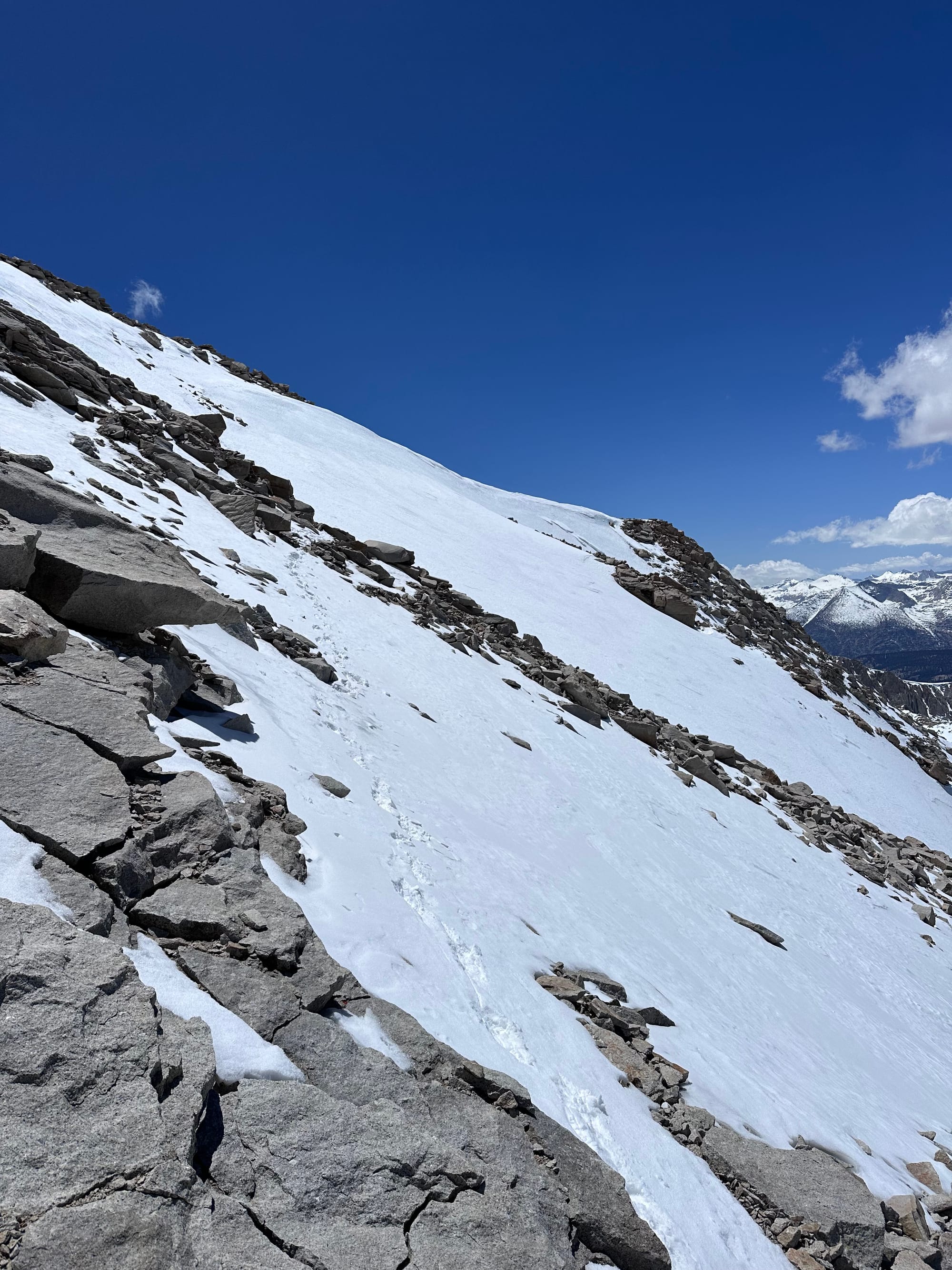
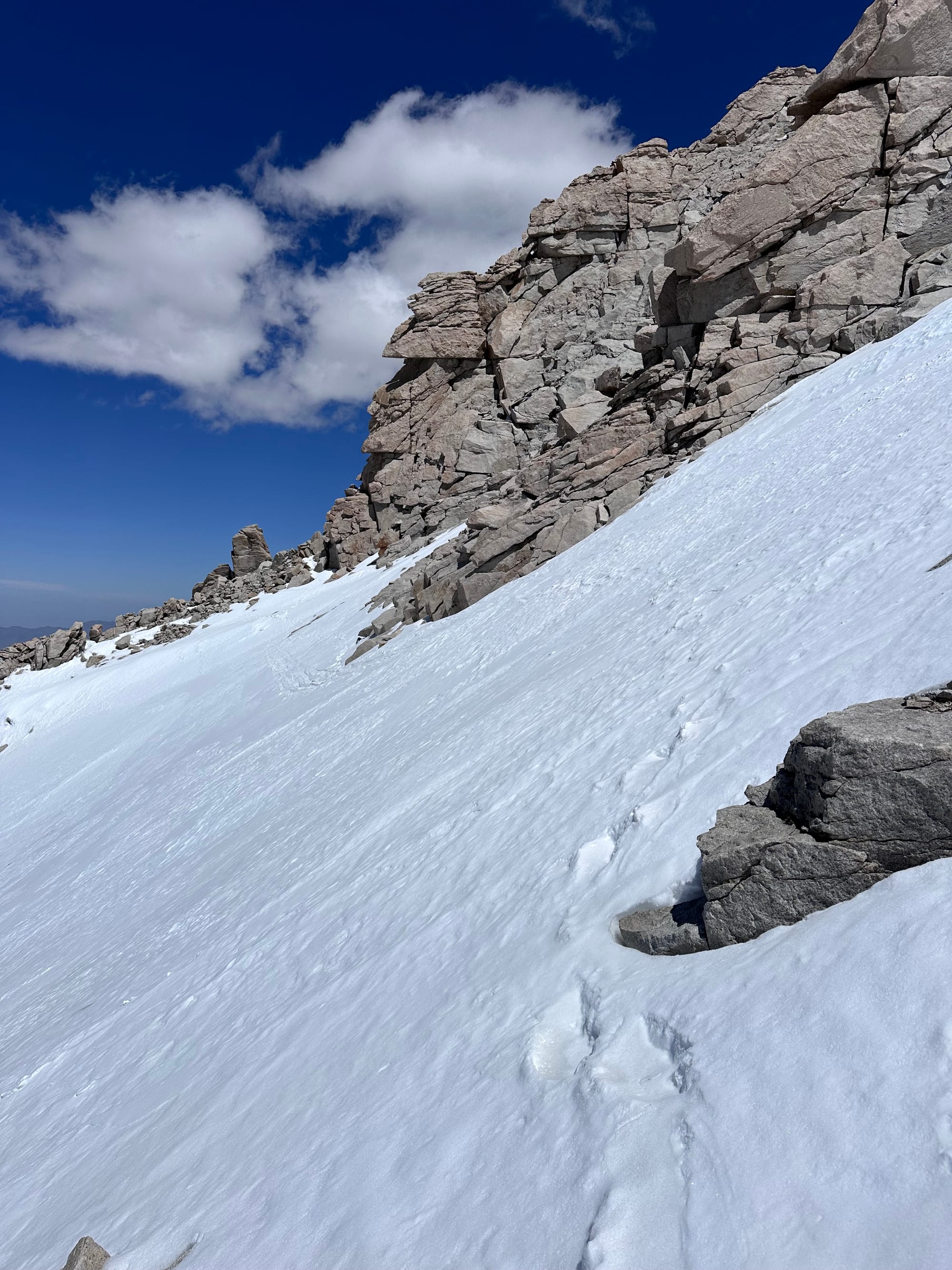
Traverse from the summit to the Notch; cliffs out-of-sight below
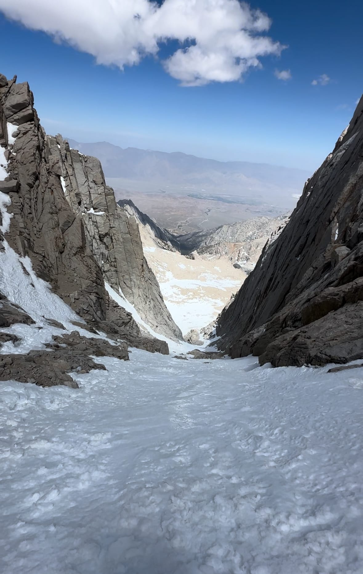
By 2:15pm, I approached the notch, scrambling over a few boulders en route. I downclimbed into the notch and transitioned to ski. I drank some water and ate a couple fig bars.
At 2:30pm, my heels clicked into the bindings, now 2.5 hours behind schedule. Lost an hour in the couloir, another 30min after my slip below and an hour to overestimating pace above the notch / poor conditioning.
Hands Full on the Descent
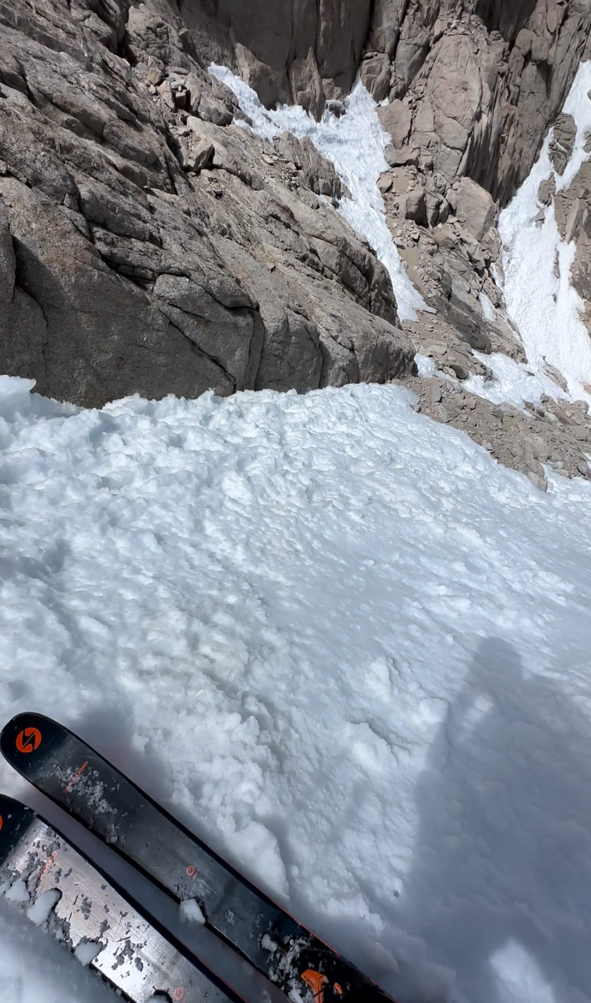
Initial skiing involved side-slipping, hop turns and rock hopping. As John at the gear shop mentioned, it'd been warm. After 50', the route opened for linked turns down to the boulder with the two stranded hikers.
I saw two people as I approached, wondering if the helicopter couldn't land after all. Then I noticed one wore a wrap-around helmet and SAR uniform. Just after I summitted, the helicopter short-hauled the impaled hiker, leaving one rescuer to wait with the other, less critical hiker.
I stopped to check-in. I noticed their gear littered throughout the couloir. The helicopter scattered everything when it descended for a short haul.
I offered to carry some gear down. The hiker asked if I could also take their axes / poles / crampons, which wouldn't fit in the helicopter. They camped by the ridge next to Iceberg Lake (that tent I passed earlier). I could leave the gear there, since they'd have to find a way to retrieve it all eventually.
He also asked if I could also grab their car keys / wallets from the tent, and drop them off at the hospital in Lone Pine that night.
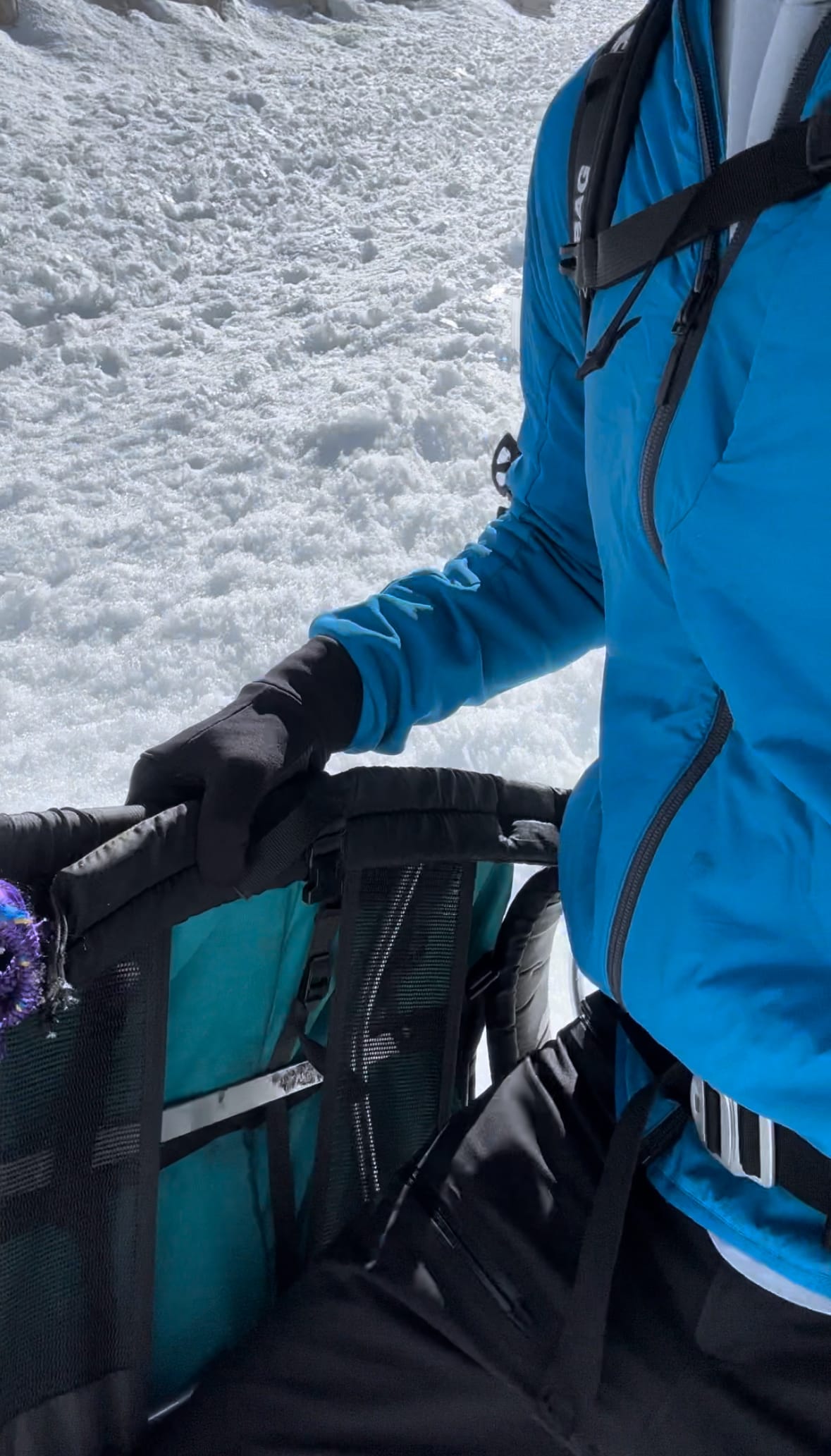
I strapped some gear (and my poles) to my pack and held extra crampons. Their backpack laid a hundred feet down the couloir. I'd pack it as I skied to hold more gear. I reached and started loading their backpack with gear, now holding the pack in my hands as I skied the couloir. I picked up ~15 items (clothing, medical supplies, layers, etc.), tossing them all in the bag.
Definitely a spicier and less enjoyable descent, but I was happy to help out two guys having a pretty miserable ~36 hours in the mountains.
North-facing aspects began to refreeze. Otherwise, decent corn all the way to the tent at 12k', best turns on south-facing aspects of the ridge. I released my skis and stashed gear in the tent, adding a few rocks to the corners in case of weather. I found their wallets / keys (or so I thought, missed one pair) and continued my descent, this time my poles in hand.
Ski descent to 12k'
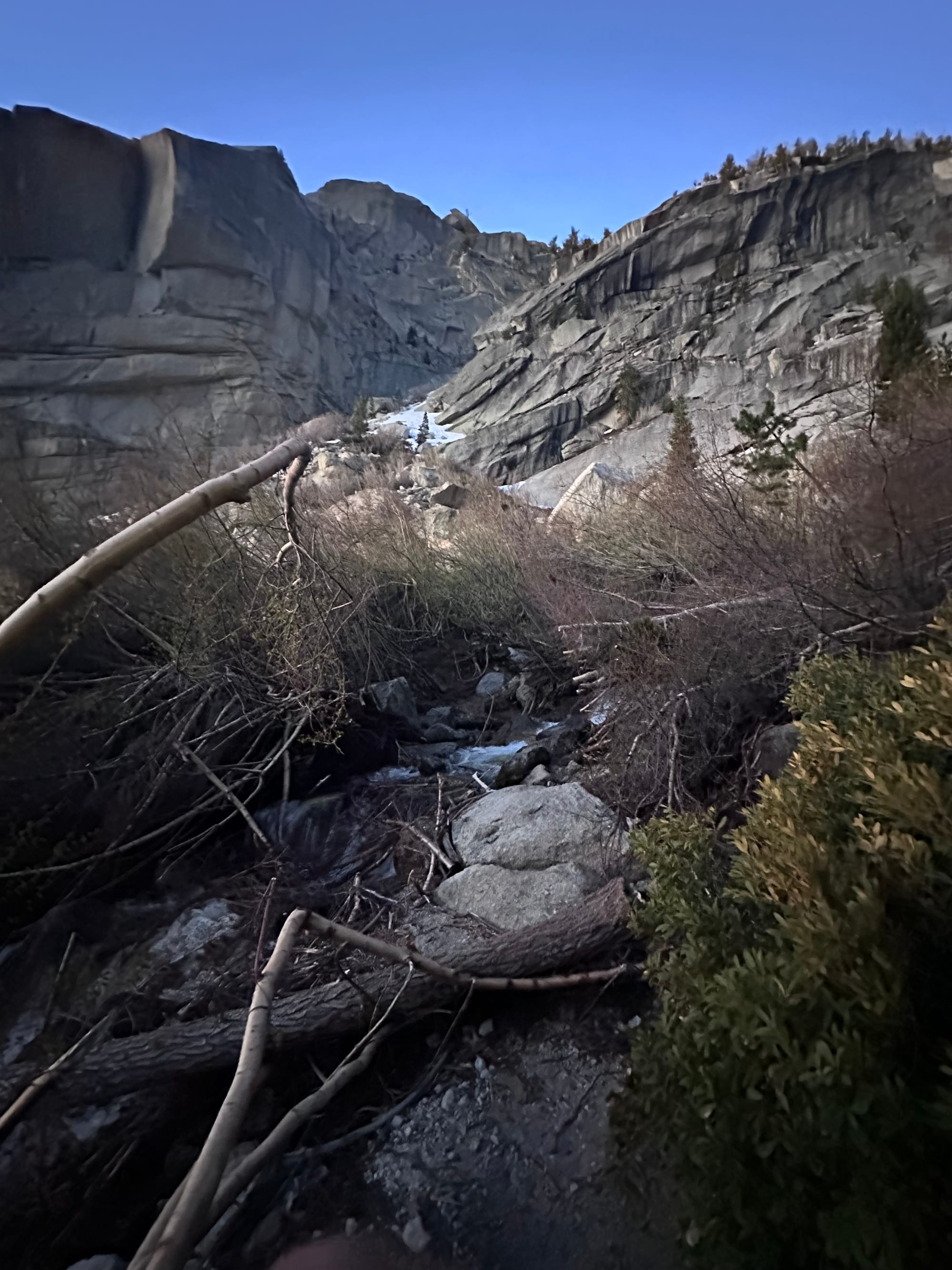
I wanted to maximize time on skis, and from scouting / GPX files, figured the gully was my best bet. I could (probably) piece together a skiable route through the gully and north-facing boulders past the ascent trail. Then, I could reascend the slabs leading to Upper Boy Scout or ski to Frog Pond, stopping before the cliffs. I opted for the latter, judging a traverse to the trail over slabs would minimize elevation gain and maximize ski time.
The plan worked. Side-stepping, rock hops, skating and one transition out of and back into skis. In the gully, the helicopter passed overhead, couloir-bound to short-haul the final hiker and rescuer. Snow ran thin at 11.5k'. At 3:34pm, I found myself on a boulder next to the pond to transition.
Remaining ski descent to ~11k'
I finished the last of my water and dug out a squished Subway Italian. I felt a bit dehydrated on the upper mountain and wishing I had an extra liter or a filter for the descent. It's rare to find flowing water above the snow line and melting snow isn't efficient, so I skipped the filter.
Subway never tasted so good. Ice floated in the center of the pond, overfilling from snowmelt running beneath the corn. Refueled, I pried ski boots off my feet, swapping approach shoes / fresh socks from my pack.
Then the mistake I'd regret for ~4k'. I re-mounted skis in an A-frame, same height as the ascent. The only change being boots strapped to the center, versus attached via ski bindings to limit catching on trailside bushes. (Also, tough to click into the stiff U pins with just my upper body, versus full body weight.)
At 4pm, I hiked over the ledges northwest to re-link with the "trail."
Frog Pond transition
A-Frame Headaches
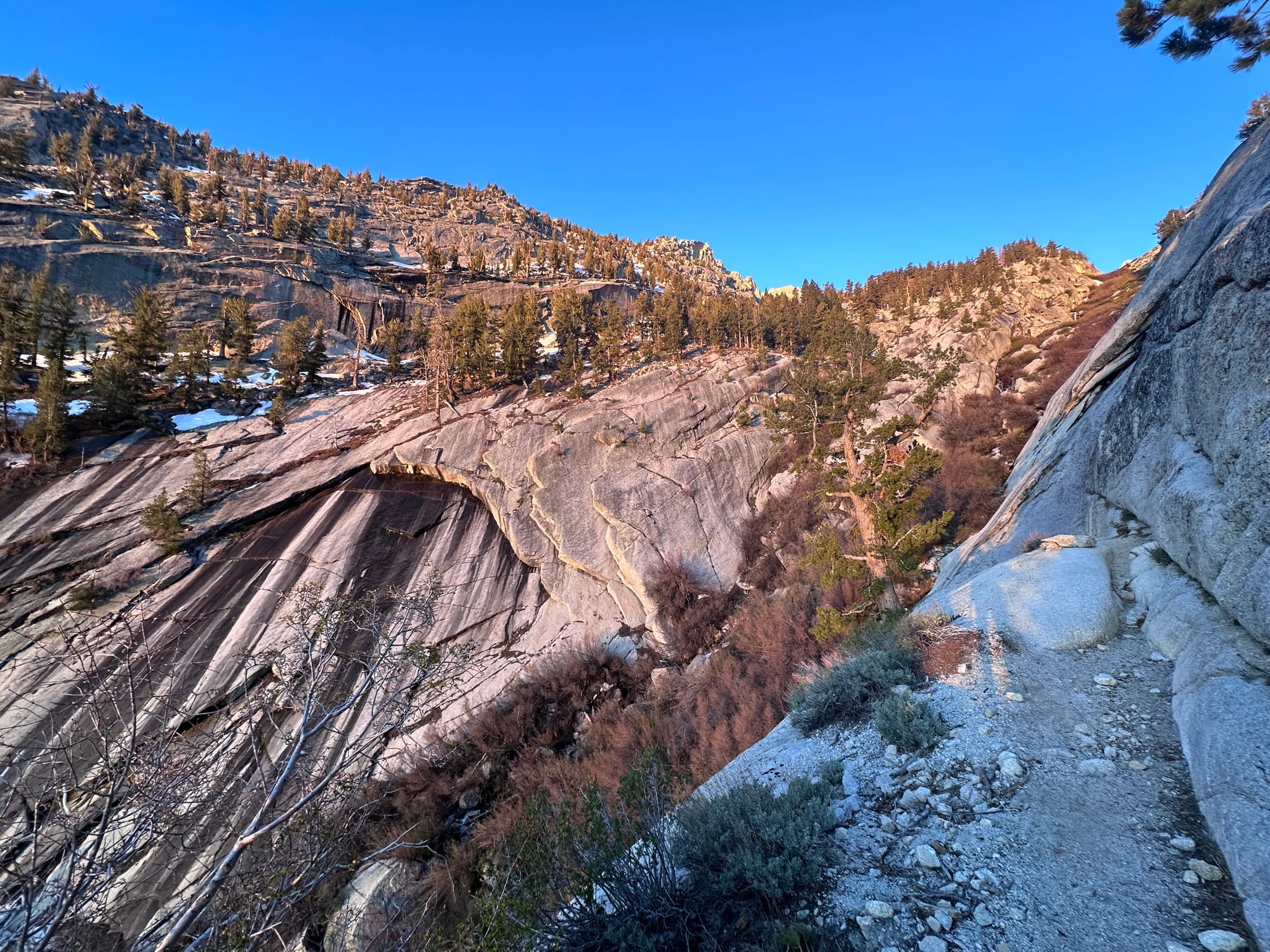
Skiing to the pond, then traversing the slabs proved a good gamble. After 15min and a few downclimbs, I closed in on the well-trodden snow patches leading to Upper Boy Scout Lake.
My decision to stick to an A-frame, less ideal. The two ski tails sat far too low, bouncing off every modest-sized rock behind me, only clear on (rare) open sections trail. I should've worked out a diagonal carry, tips together and much higher off the ground. Then the annoyance would be ducking to fit ski tips through willow tunnels and beneath pine branches in the canyon – better than constantly being thrown off-balance my bouncing ski tails.
The descent reminded me of my midnight descent on Williamson last spring. Most of my touring is in the winter involves skiing to the trailhead, so I haven't bothered to optimize the hiking set-up. Generally, snow to the trailhead is how I'd like to keep it – at some point, the skis belong in storage.
At 4:30pm, I passed Upper Boy Scout, sticking to slabs where possible, thin morning ice now replaced with flowing snowmelt. Some glissading, willow bushwhacking and boulder hopping. Ski tails bouncing all the way.
At 5pm, I passed ~eight people on an acclimation hike. I explained the SAR situation and passed along upper mountain beta. A few were surprised by my one-day ascent / descent, until I explained my Jackson Hole base at 6.5k'.
Hiking to Lower Boy Scout Lake
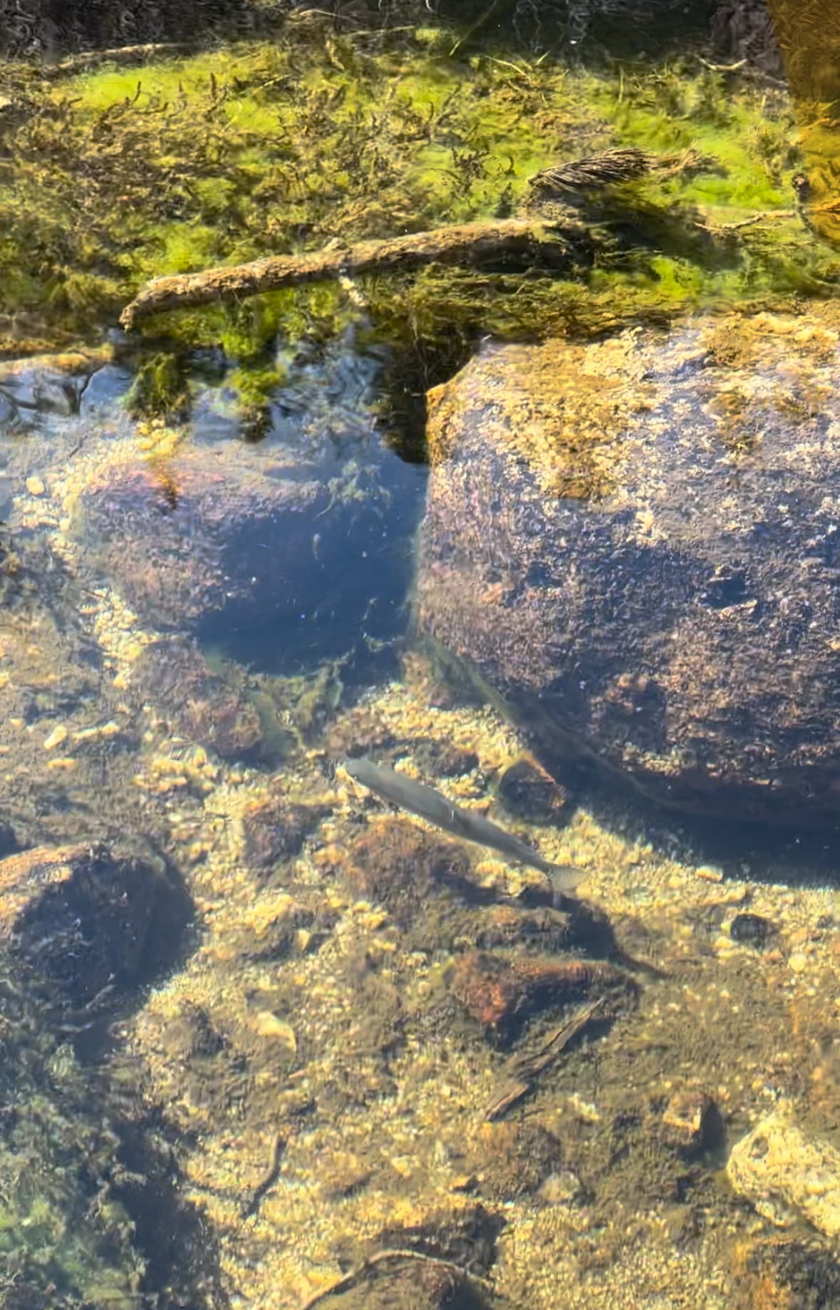
By 5:20pm, I reached Lower Boy Scout, backtracking a couple times to find the Pine Creek crossing that came so easy on ascent. Trout swam in the crystal clear water. I'd reached the oddly common "I hate this sport" portion of the day. In this case, largely due to unforced errors / unoptimized systems. The ski tails drove me nuts. Stubbornly, I didn't want to waste 15min re-packing and wasn't positive diagonal carry worked on my Mammut anyway.
Lower Boy Scout Lake
In Lone Pine Creek Canyon, my case of the bouncing ski tails reached its apex. The narrow, steep and rocky trail was an A-frame's worst nightmare. I swore it'd be my last time skiing if snow didn't reach the trailhead.
On the E-ledges, I almost lost the route three times. One trail runner and a few guys at the base shouted and pointed me the right way from the creek below. By 6pm, I awkwardly downclimbed the ledges, snaked through guarding willows and reached the creek below. 30min of more willows, trail rocks and awkward maneuvers, then I reached a clean section trail just above the junction.
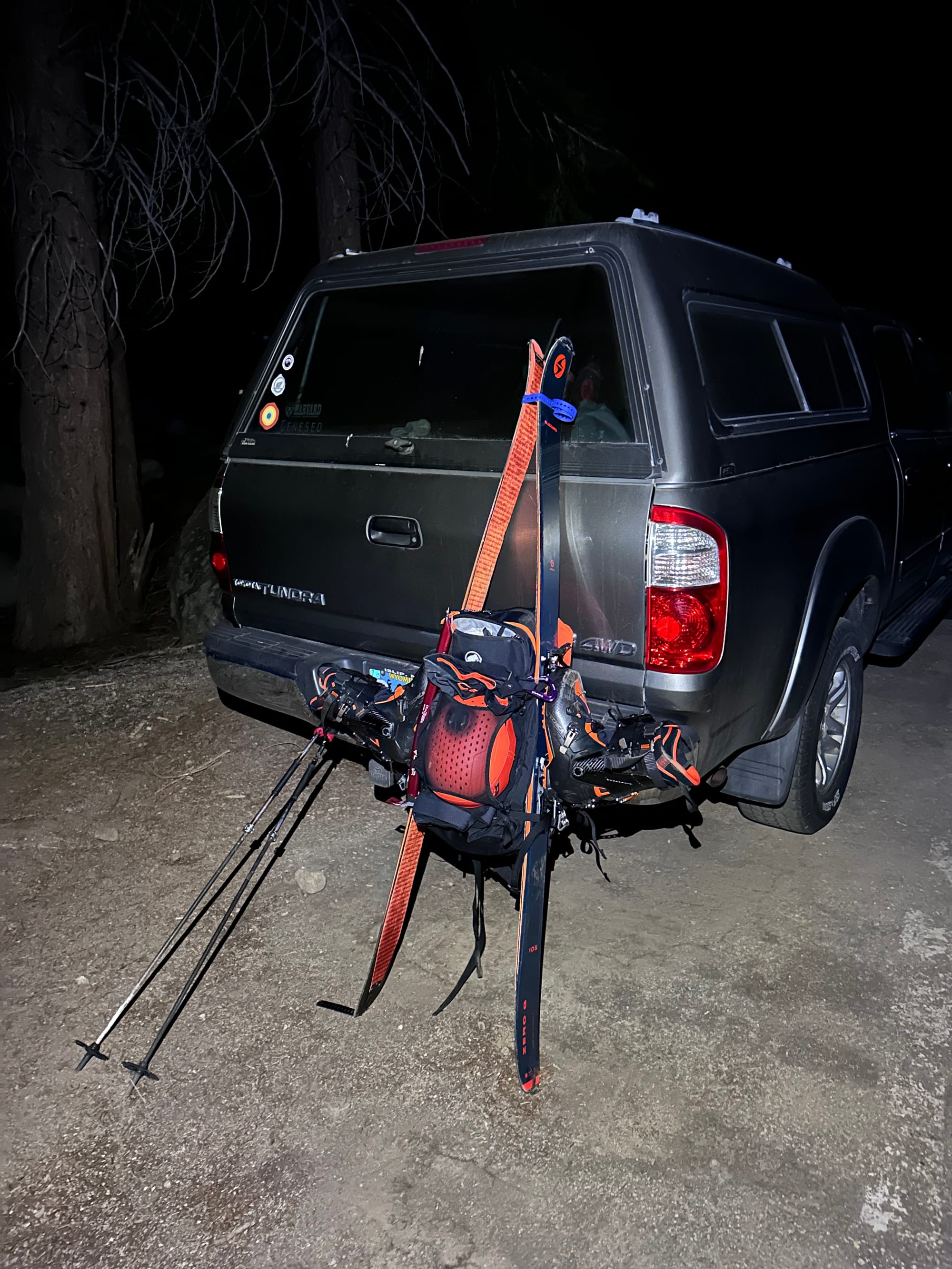
Without the A-frame, I'd have jogged the whole canyon, easily halving my time. Now only 1.5 miles from the trailhead, I jogged down the clear, well-traveled main trail. By 6:45pm, I reached those Portal arches, finishing just shy of 14 hours.
It could've been a 12-hour day without the stops, and at least 10 hours with better ski packing and more snow. Ideally skiing through Lone Pine Creek Canyon, but even Lower Boy Scout would've been a game changer.
E-ledges and final jog down the main hiker's trail
Loose Ends
Below the arches, the three guys steering me at E-ledges offered a beer for some beta. They planned to ski the route tomorrow. A mix of SLC and New England skiers. I've never tasted a better Athletic IPA (sober month).
After the bare minimum pack-down, I hit the road, GPS set to the Lone Pine Hospital to return the keys / wallets. By the time I arrived, both hikers left. They airlifted the impaled hiker to Vegas, and discharged his friend. Behind schedule and too tired to drive to LA that night (original plan), I booked a motel.
A shower to disinfect the 1-3" diameter scrapes on my wrists / knees, then a late-night street quesadilla from Castro's. I texted the hiker who was discharged. We'd meet in the morning for his wallet / keys. I slipped into a ten-hour coma.
The next morning, I spent a few hours working from Lone Star Bistro (plus a protein smoothie and coffee). The hiker and his family dropped by for the keys / wallets. I stopped by Elevation to thank John, then hit the road for LA.
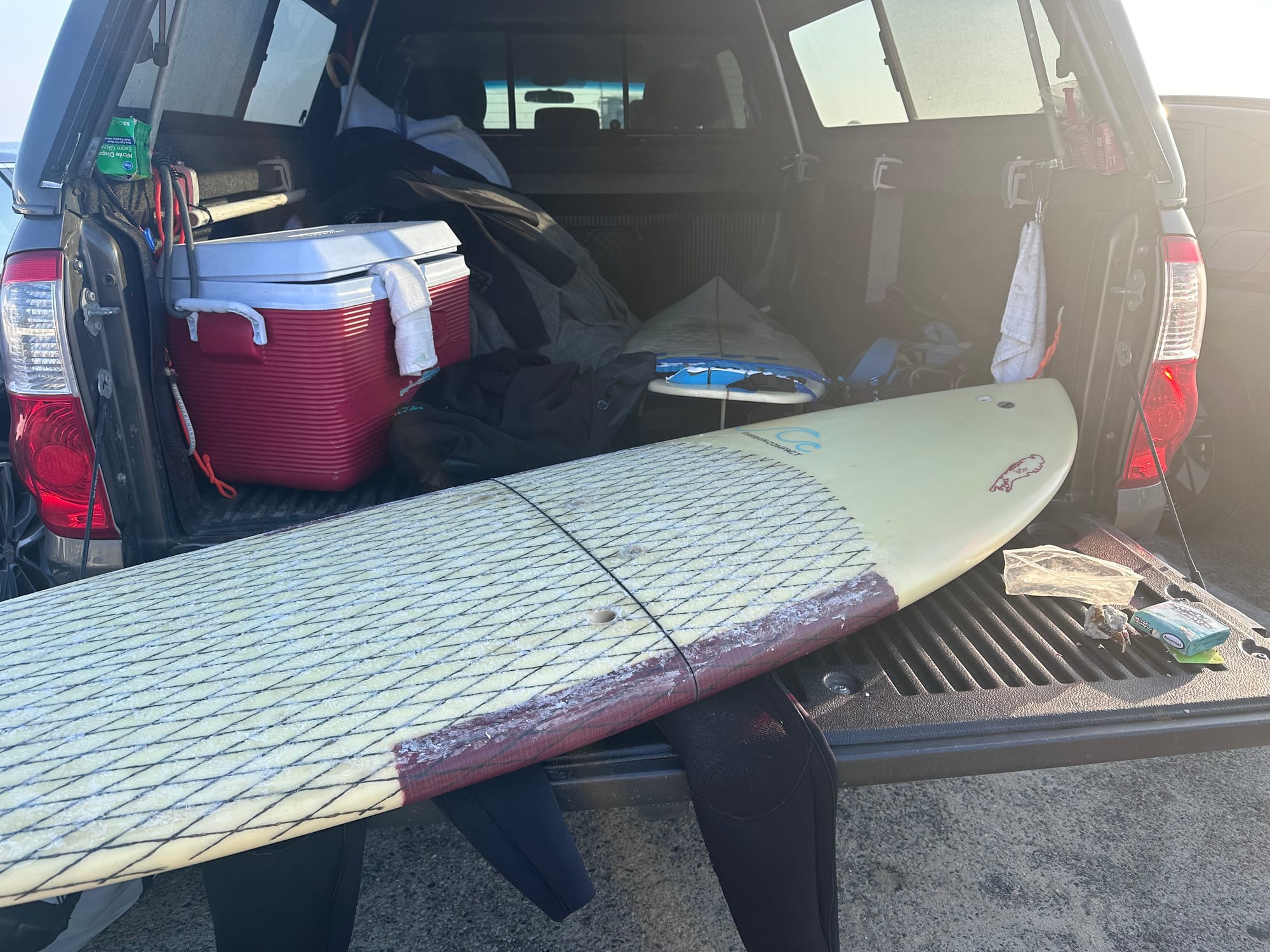
At 5pm, I reached Venice. Some quick re-organizing and straight to Breakwater for a windblown surf, followed by a jog with a friend. I wanted to surf the day after skiing (still novel as a new LA resident). The wetsuit rubbed my scraped knees, so I put that idea to bed after 30min in the water.
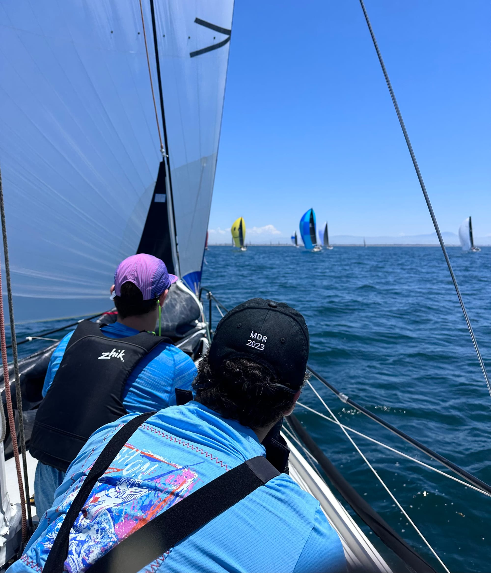
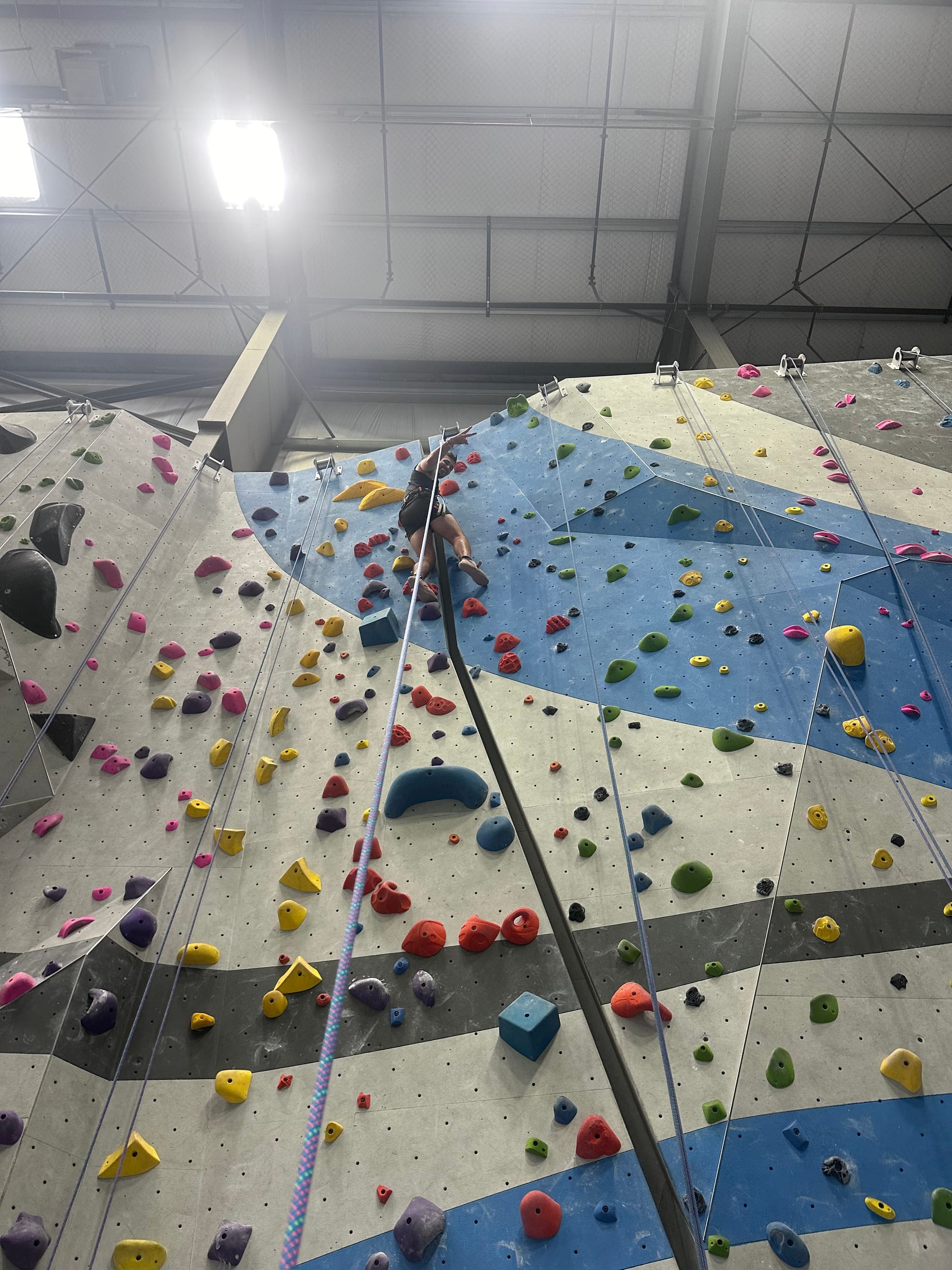
First high-altitude mission accomplished. Pending the next Sierra trip, back to trail runs in the Santa Monica's, Sender One, beachside road runs, Breakwater crowds and (new hobby) sailing regattas.
Back to regularly-scheduled programming in LA